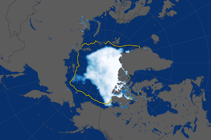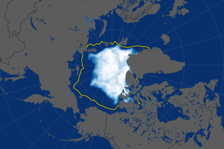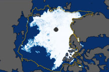
Every spring, the expansive pack of sea ice that coats the Beaufort Sea during the winter starts to thin and break up when the spring sunlight arrives and temperatures rise. Normally, that breakup does not reach full swing until late May. In 2016, much of the Beaufort Sea’s ice started breaking up by mid-April.
“It really is quite remarkable,” noted Walter Meier, an ice specialist at NASA’s Goddard Space Flight Center. “There is always fracturing of the ice, but it seems to have become more prevalent and more widespread in recent years. This region used to be mostly multi-year ice, which is quite a bit thicker. Now, most of the Beaufort is seasonal, first-year ice. The thinner ice is weaker and more easily broken up by the winds.”
In 2016, unusually warm temperatures during the first few months of the year set the stage for the early breakup. In April, a high-pressure system producing strong southeasterly winds parked itself over the Beaufort Sea and sent chunks of ice swirling in a clock-wise direction in the Beafort Gyre.
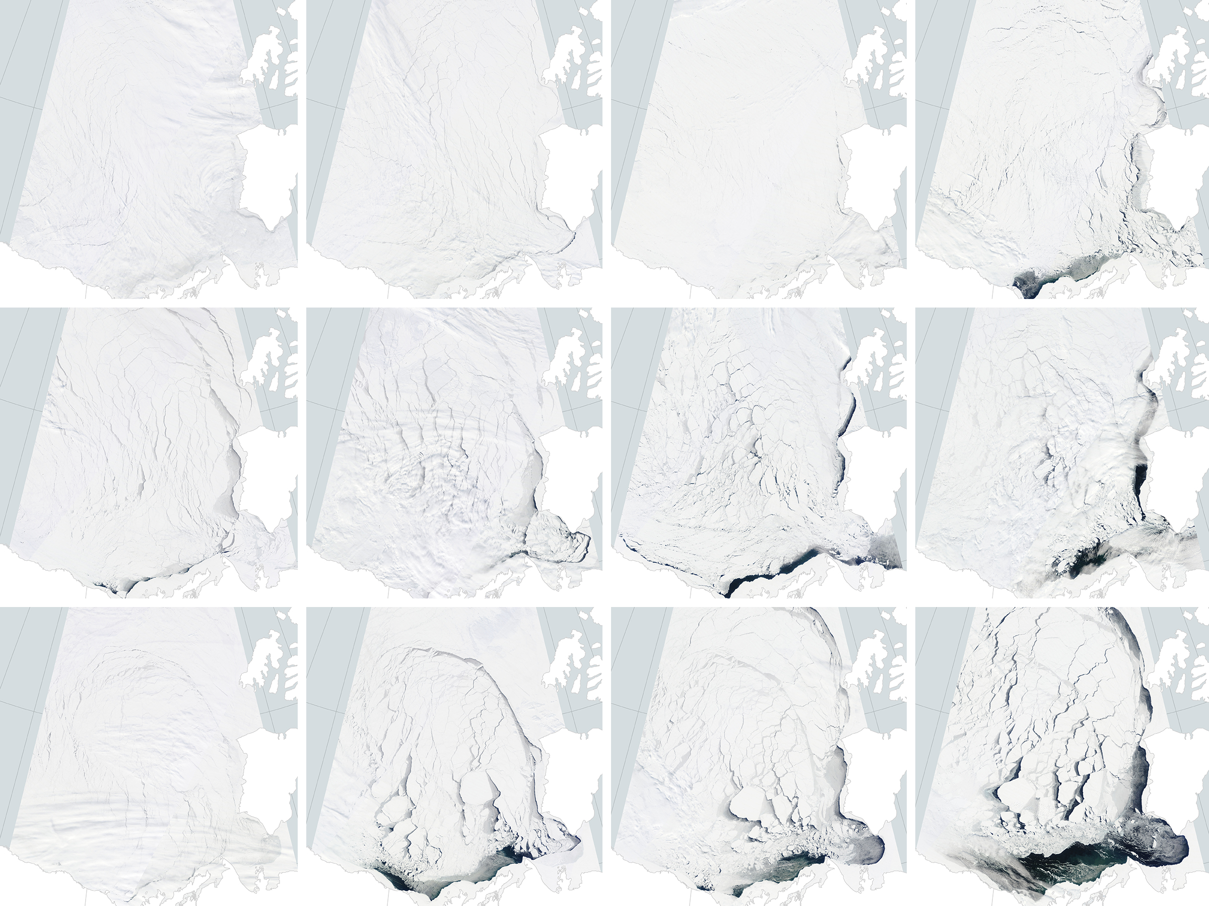
The images in the lowest strip above, captured by the Moderate Resolution Imaging Spectroradiometer (MODIS) sensor on Terra, show different stages of the ice breakup in April 2016. For comparison, the upper two strips show what conditions were like in April 2014 and April 2015. Notice how much more open water appears in 2016 than in the other years.
Extensive fracturing of Beaufort Sea ice also occurred in March 2013, but the 2016 fracturing appears to be more widespread. At points, there were fractures that reached from the Beaufort Sea all the way to the top of Greenland and the pole, noted Meier.
While the early breakup offers a hint that Arctic sea ice may be headed for an unusually low minimum this summer, that will depend on weather conditions in the coming months. In 2013, the minimum extent ended up being higher than other recent years despite the early ice breakup in the Beaufort Sea.
NASA Earth Observatory images by Joshua Stevens, using MODIS data from LANCE/EOSDIS Rapid Response. Caption by Adam Voiland.