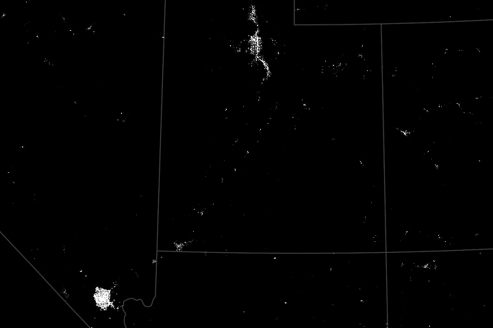
Visitors to this national park in southern Utah can witness geologic landforms by day and a celestial light show by night.
Published Jul 27, 2024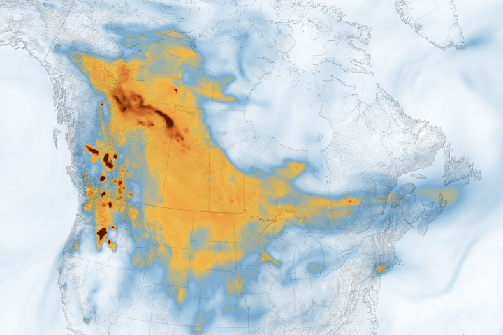
Hundreds of wildland fires lofted sky-dulling smoke over Canada and the United States.
Published Jul 26, 2024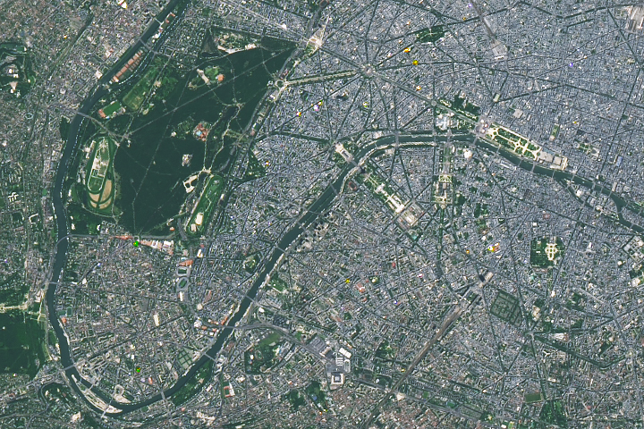
From Paris to Tahiti, the venues of the 2024 Summer Olympics showcase some of France’s iconic landmarks.
Published Jul 25, 2024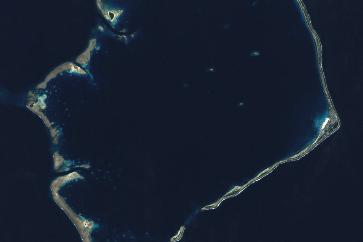
The Pacific island has a storied past in the study of atoll formation and a tenuous future as it adapts to sea level rise.
Published Jul 24, 2024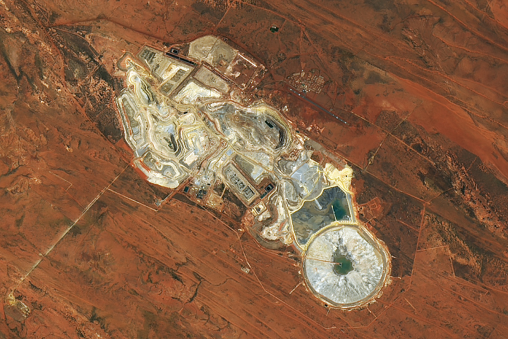
One of the most productive gold mines in Australia lies in the Great Sandy Desert.
Published Jul 23, 2024