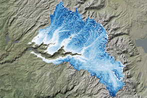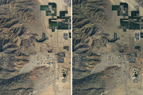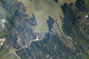
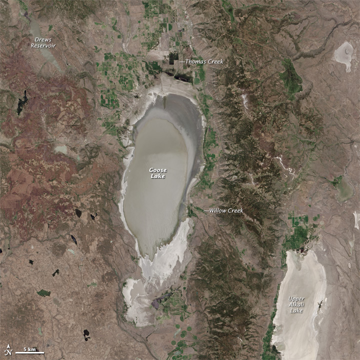
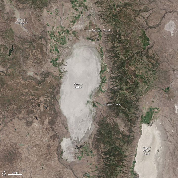
Several lakes straddling the California–Oregon border are ephemeral. One of them, Goose Lake has a long history of filling and then drying out. In 2015, it disappeared again.
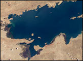
The Operational Land Imager (OLI) on Landsat 8 captured these views of Goose Lake and the surrounding watershed. The lake was relatively full on June 3, 2013 (top), and then dry on June 25, 2015 (bottom). Turn on the image comparison tool to see the lake transform into a dry lakebed.
When full, Goose Lake has a surface area that spans about 375 square kilometers (145 square miles). Water is supplied primarily by California’s Willow Creek, which flows westward from the Warner Mountains; some water also comes from Oregon’s southward flowing Thomas Creek. The amount of water delivered by those rivers depends on precipitation and snowmelt, as well as the amount of water diverted to irrigate pastureland, hay, and crops. (Springs also feed some of the rivers.)
In years with low precipitation or drought conditions, the lake can have a lower water level and even dry up, as was the case this year. One of the more famous episodes of drying came in the 1920s. Dry conditions shrunk the lake to a point where previously inundated wagon tracks appeared on the exposed lake bed. Those tracks had been left decades earlier by gold seekers in the mid 1800s.
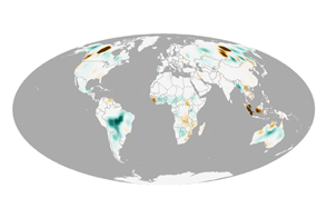
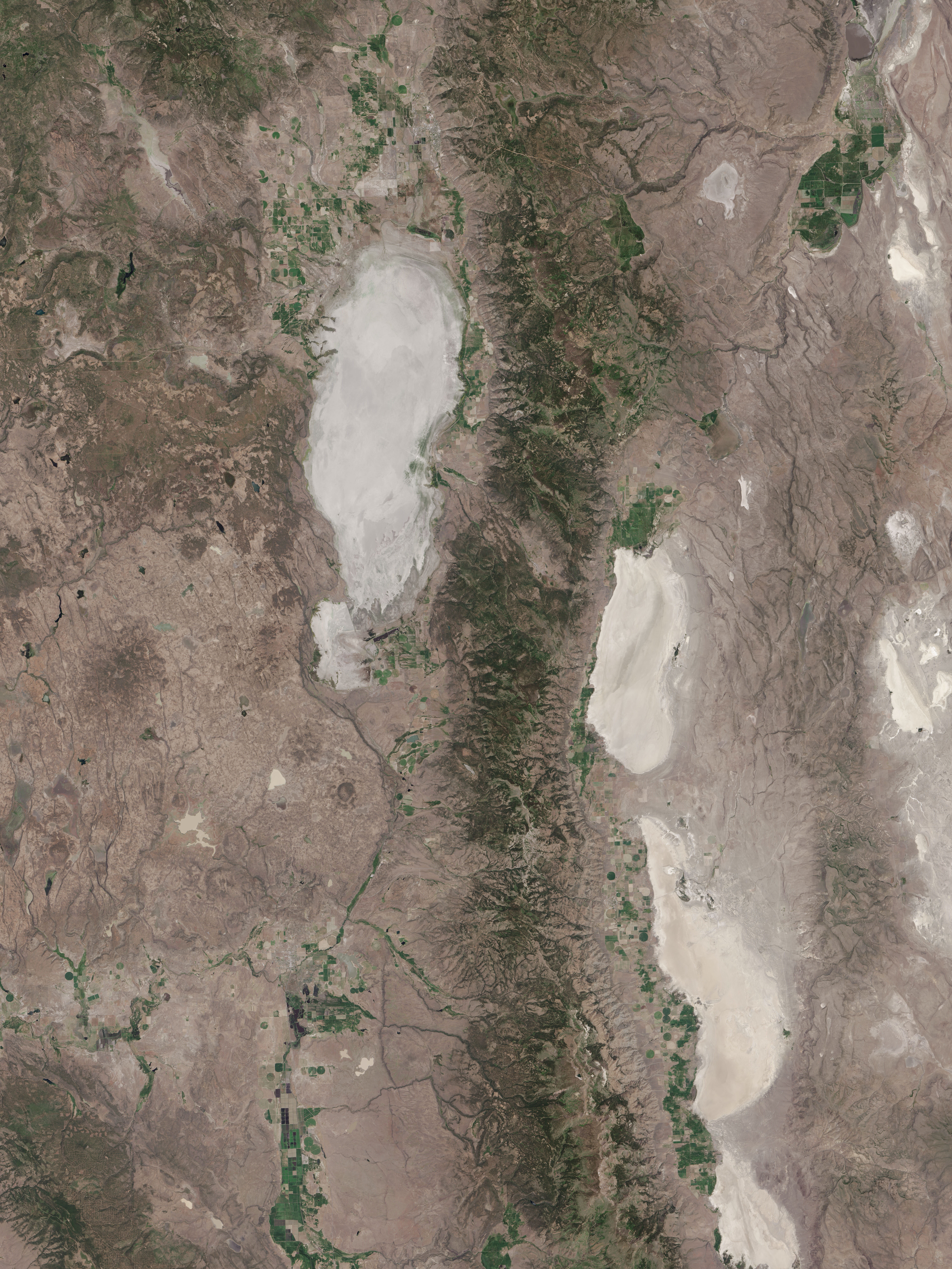
Other lakes and reservoirs, outside the area pictured above, also come and go. They are visible in images acquired by the Visible Infrared Imaging Radiometer Suite (VIIRS) sensor on the Suomi NPP satellite.
NASA Earth Observatory images by Jesse Allen, using Landsat data from the U.S. Geological Survey. Caption by Kathryn Hansen.