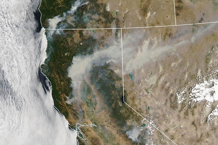
California’s Carr Fire was one of 98 large, active fires delivering smoke across the United States in late July.
Published Jul 31, 2018
The blaze is the largest in Arizona this year and the largest in the United States right now.
Published Jun 16, 2020Image of the Day Heat Land Fires Human Presence Remote Sensing
Scientists have found a way to detect nighttime fires even sooner, when they are still relatively small.
Published Apr 7, 2017
This image from June 9, 2011, shows Arizona’s Wallow Fire in the White Mountains near the border with New Mexico.
Published Jun 10, 2011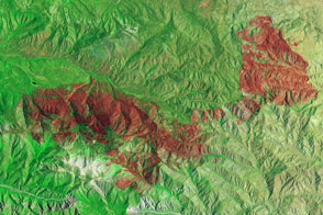
Little heat remained, but the California fire left behind a burn scar spanning almost 50 square miles.
Published Jul 7, 2015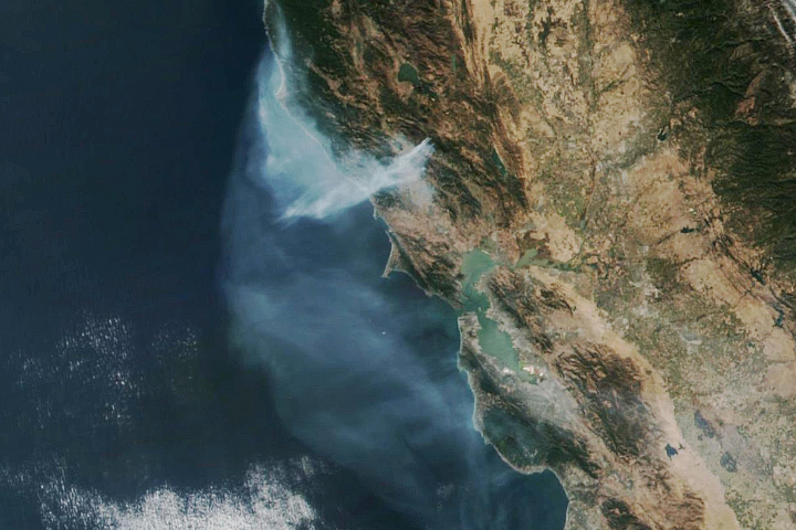
The eastern part of the fire was active overnight, expanding the burned area to 76,000 acres.
Published Oct 30, 2019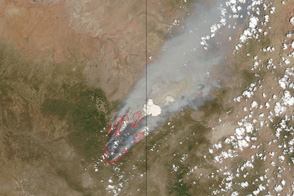
This pair of images shows the vast extent of the Wallow Fire, burning in eastern Arizona, on June 6, 2011.
Published Jun 6, 2011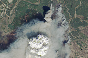
Fire weather clouds are one indication of the intensity of the fast-growing fire on Alaska’s Kenai Peninsula.
Published May 23, 2014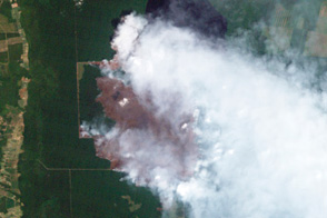
These detailed images from August 15 show a large, hard-to-access wildfire burning in Virginia’s Great Dismal Swamp. Firefighters hoped that rain from Hurricane Irene would slow the fire.
Published Aug 29, 2011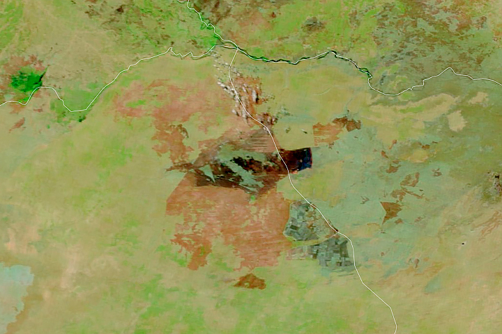
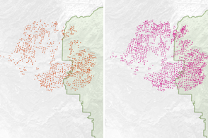
Satellites detect fires that are not necessarily being reported. Scientists are taking note and compiling global views of fire behavior and evolution.
Published Oct 22, 2018
An expansive, destructive wildfire north of Los Angeles is visible from space by day and night.
Published Jun 28, 2016
A wildfire in Fresno County, California has burned more than 28,000 acres.
Published Jul 20, 2020
Smoke billowed from a wildfire burning east of San Francisco on September 9, 2013.
Published Sep 10, 2013
Temperature, humidity, and winds contributed to the rapid spread of fire in Lake County, about 100 miles northwest of Sacramento.
Published Jun 27, 2018