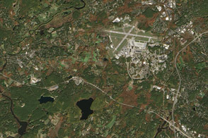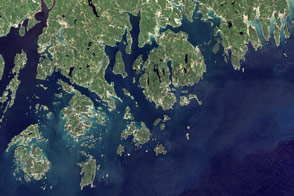
Three colonial communities in Virginia—Jamestown, Williamsburg, and Yorktown—each played defining roles in the road to American independence. They form the corners of what is known as “America’s historic triangle.”
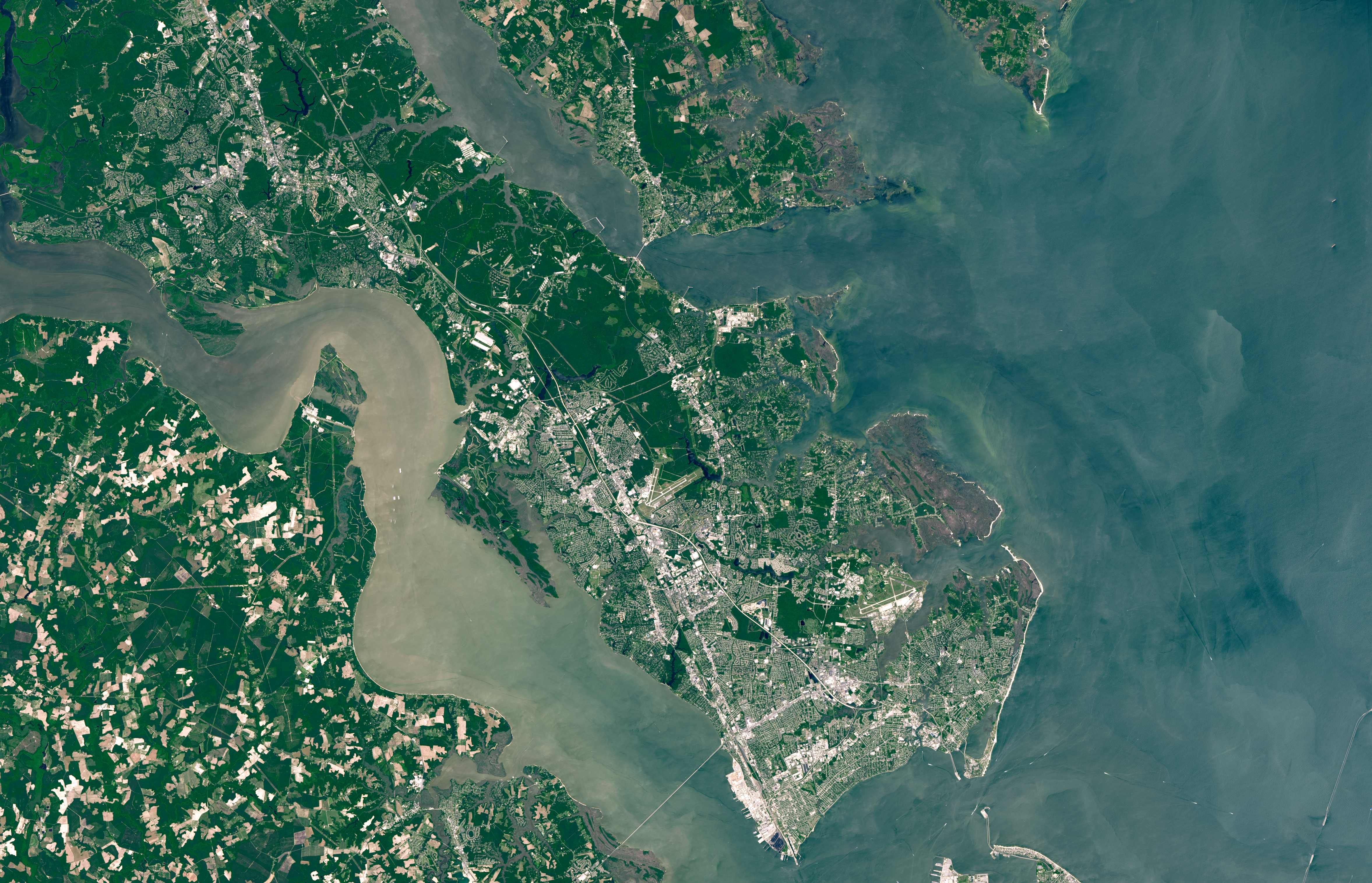
The Operational Land Imager (OLI) on Landsat 8 acquired this image of the three colonial settlements and the surrounding Hampton Roads region on June 10, 2016. Jamestown, Yorktown, and Williamsburg—all connected by the 23-mile (37-kilometer) Colonial Parkway—make up Colonial National Historical Park. The park is bordered to the north by the York River and to the south by the James River.
The National Park Service calls Jamestown “a place of many beginnings.” Funded by the Virginia Company, English settlers arrived in 1607 and the site became the first permanent English settlement in North America. Jamestown remained the capital of the Colony of Virginia until 1699, when it was moved to Williamsburg.
Williamsburg thrived, and became an important political and cultural center for the colony. Today, part of Colonial Williamsburg is a tourist draw for its “living history museum,” where 18th century life is re-created in restored or replicated buildings. In 1780, the capital was moved from Williamsburg to Richmond.
The last corner of the colonial triangle— Yorktown—was central to the end of the Revolutionary War (1775-1783). In 1781, American and French troops led by George Washington laid siege to the city and ultimately defeated the British in the war’s last major battle.
NASA Earth Observatory image by Lauren Dauphin, using Landsat data from the U.S. Geological Survey. Story by Kathryn Hansen.