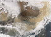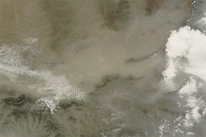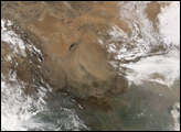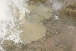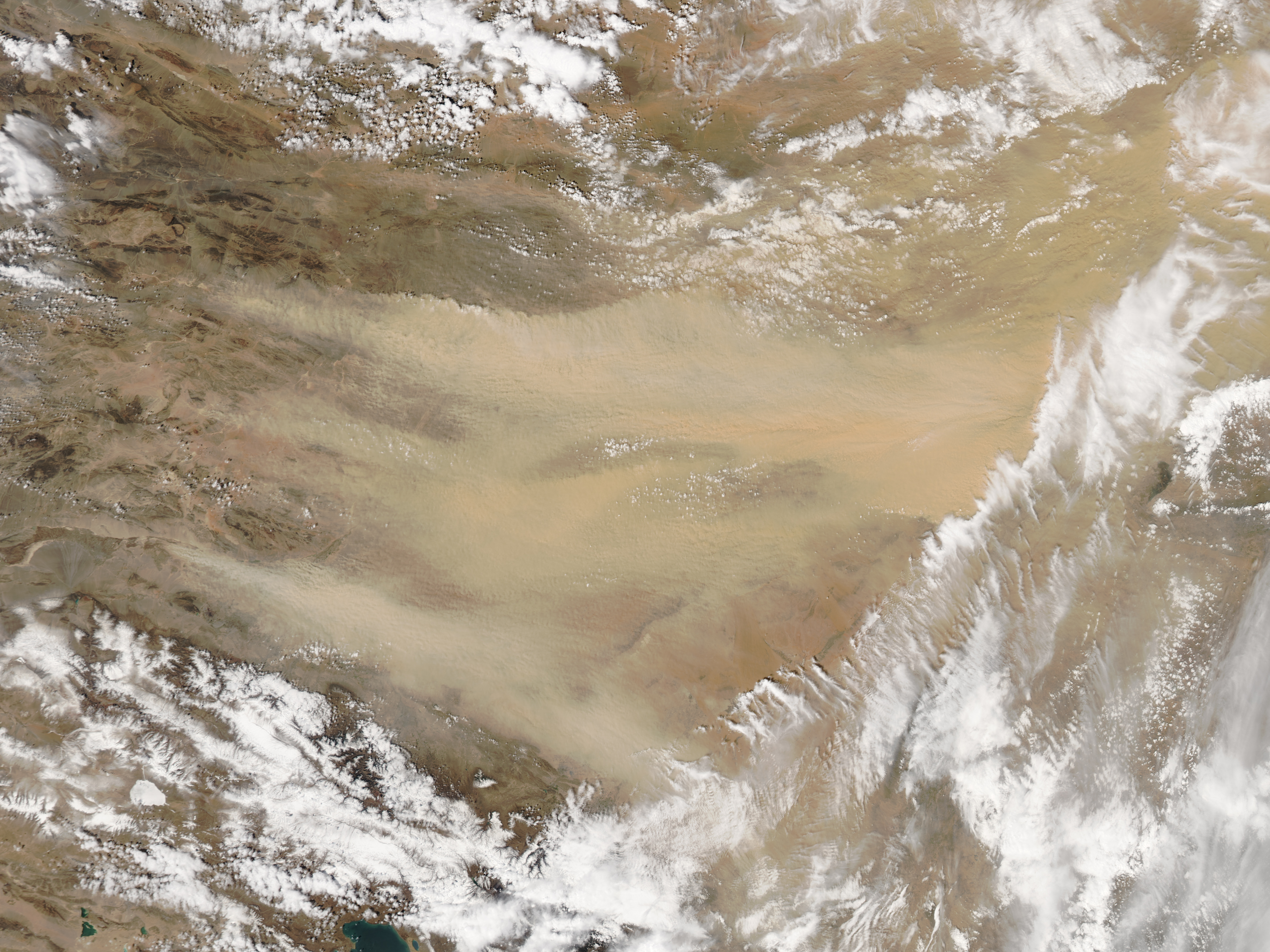
In May 2017, a cold front pushing across northern China spurred a major dust storm that darkened skies throughout the region.
On May 3, 2017, the Moderate Resolution Imaging Spectroradiometer (MODIS) on NASA’s Aqua satellite captured an image of several large plumes of dust streaming east from the Gobi Desert. The next day, the Visible Infrared Imaging Radiometer Suite (VIIRS) on Suomi NPP captured an image (below) showing skies thick with dust across much of northeastern China. Notice that cyclonic atmospheric circulation had sucked dust into and above the clouds. (Read this story to learn more about why the presence of dust and smoke above clouds interests climate scientists.)
Air quality in several large cities in northern China deteriorated rapidly after the dust arrived. In Beijing, air quality sensors at the U.S. embassy in Beijing saw the air quality index (AQI) rise from 95 (moderate) at 3:00 a.m. on May 4 to 503 (beyond hazardous) just three hours later. At noon on May 4, the AQI level in Beijing rose as high as 621. AQI values of 0 to 50 are considered healthy. Values between 300 and 500 are considered hazardous.
Breathing significant amounts of dust can exacerbate both cardiovascular and respiratory disease. Dust storms can also transport certain types of fungal, bacterial, and viral pathogens.
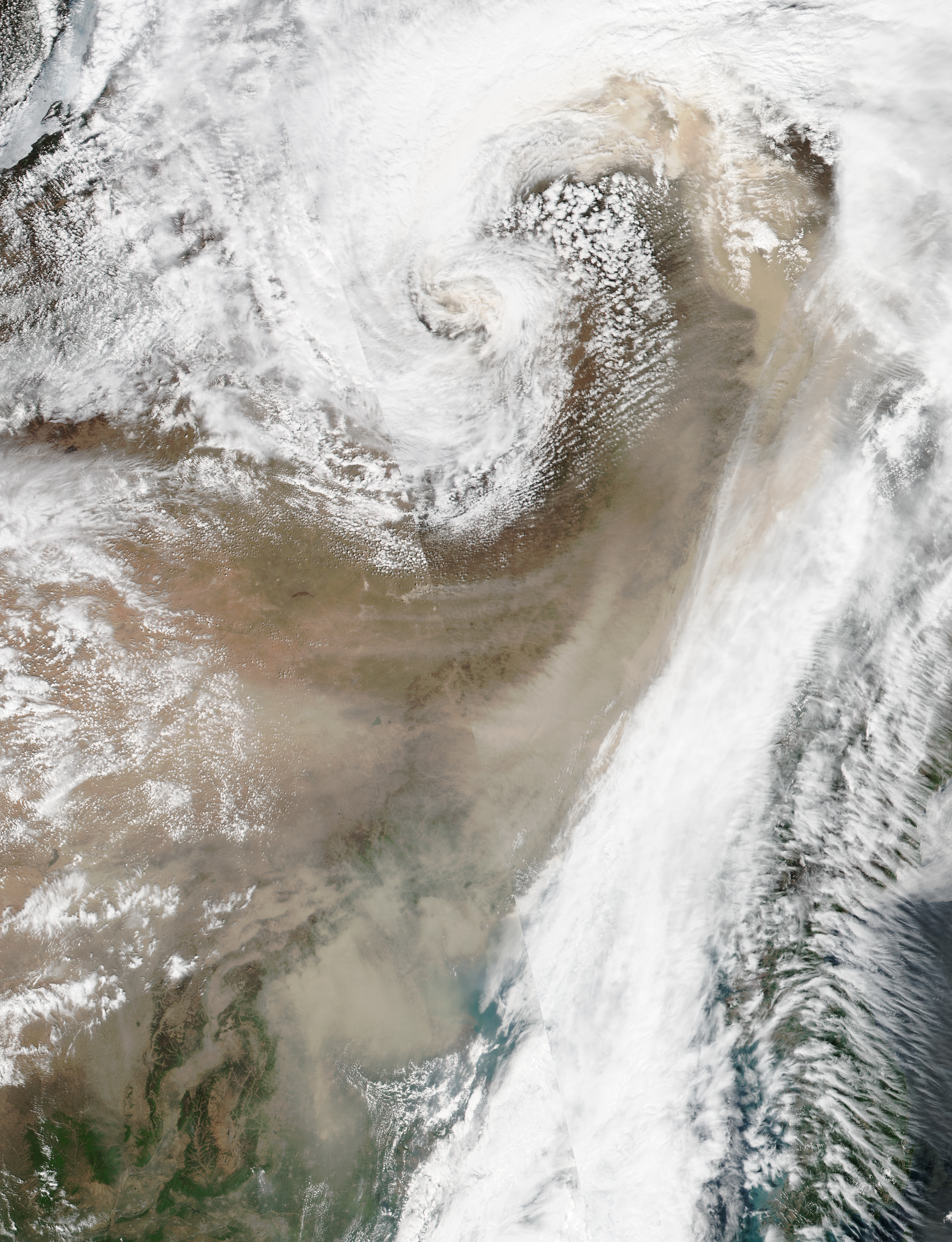
NASA image by Jeff Schmaltz, LANCE/EOSDIS Rapid Response. Caption by Adam Voiland.