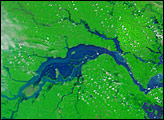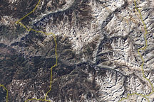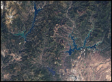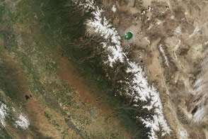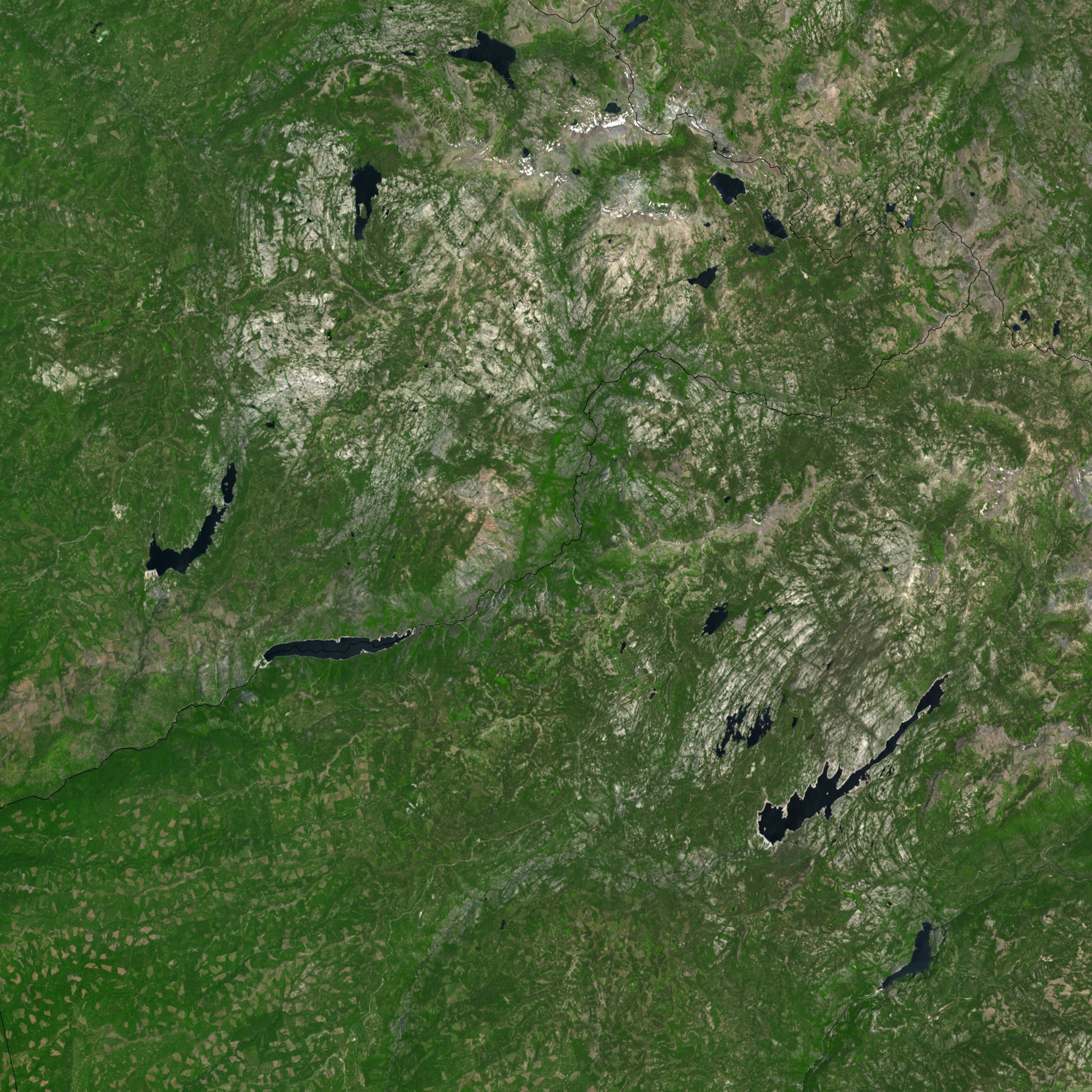
South of Lake Tahoe, in the Sierra Nevada mountain range in California, the boundaries of three national forests—Stanislaus, El Dorado, and Humboldt-Toiyabe—meet. At the intersection of these boundaries sits the Mokelumne Wilderness Area, which straddles the crest of the Sierra Nevada.
On June 29, 2007, the Advanced Spaceborne Thermal Emission and Reflection Radiometer (ASTER) flying on NASA’s Terra satellite captured this image of the Mokelumne and surrounding forests. In this simulated true-color image, dark green indicates thick vegetation, pale green indicates sparse vegetation, dark blue indicates water, and beige and gray indicate bare ground. National Park boundaries appear in white.
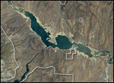
The terrain in the area is rugged, with steep mountain crags interspersed with occasional lakes with jagged contours. At high elevations, forests give way to alpine plants, and finally, to bare rock. A pale shoreline outlines Spicer Reservoir, near the bottom of the image, suggesting a dip in the lake’s water level, consistent with warm, dry conditions that predominated in the American West in the early summer of 2007.
Not all national forests are wilderness area; many forests offer timber concessions. In Stanislaus National Forest, in the lower left corner of this image, tiny pale patches break the forest cover. In the high-resolution imagery, the precise geometric outlines of these patches are more obvious; such patterns are consistent with clear-cut logging.
You can download a 15-meter-resolution KMZ file of the Mokelumne Wilderness suitable for use with Google Earth.
NASA image by Jesse Allen, using data provided courtesy of the NASA/GSFC/MITI/ERSDAC/JAROS, and U.S./Japan ASTER Science Team.