Heavy rain in March 2011 produced a relatively unusual event: water flowing into Lake Eyre.
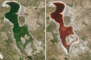
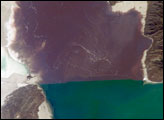
The southernmost and deepest lobes, Belt Bay and Lake Eyre South, were filled first. In this northeast-looking view from the International Space Station, water appears in the southern basins of Lake Eyre, especially Belt Bay (where it appears green) and in Madigan Gulf (where it appears in shades of pink and red). Despite some clouds, water is also apparent in narrow Jackboot Bay and at the estuary where Cooper Creek—one of the most important inflow rivers—fills a small, dark green lake.
The varying colors are the result of different water depths and different resident microorganisms. The green color of Belt Bay is likely related to its depth, which was reported in early December 2011 to be just less than 1 meter. The red color of Madigan Bay appears to be related to salt-loving bacteria. At half the depth of Belt Bay (0.4 m), evaporation raised salt concentrations high enough to allow salt-loving bacteria to flourish when this image was taken.
In Australian lakes with salinities above 30 percent, the majority of microbes are haloarchaea (family Halobacteriaceae, domain Archaea). The density of microbes in Australia’s salt lakes can reach 107 to 108 cells per milileter—so dense that the pink-red carotenoid pigments in the cell membranes color the water.
By August 2011, more than half the lake floor was covered by shallow water, with local creeks continuing to deliver water. Lake Eyre is an internal drainage basin, which means that all of the water accumulates in the lake, without an outlet to the sea. Any water that reaches the lake evaporates in subsequent months.
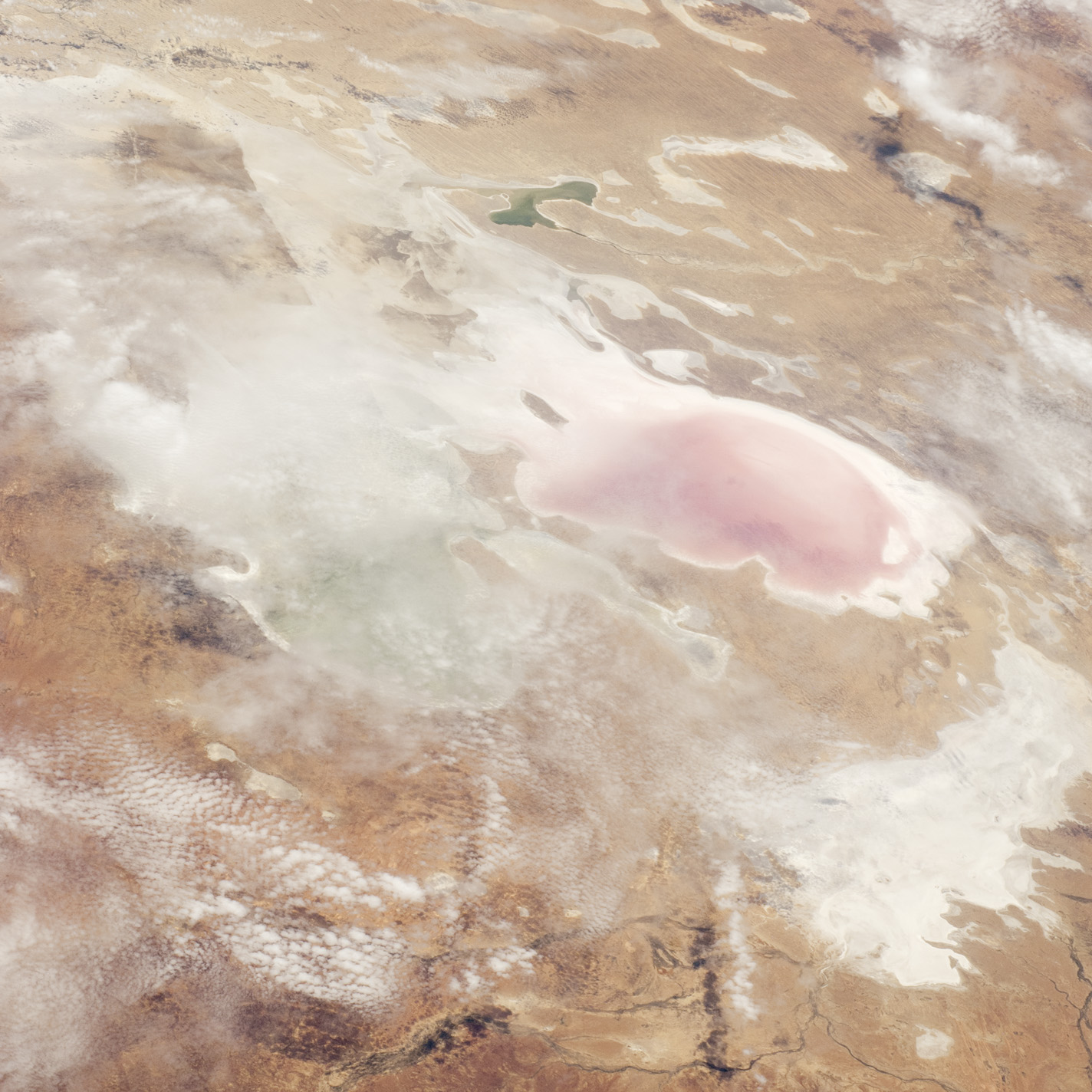
Water levels were reported to be falling everywhere in late 2011, when this image was acquired. The bright white salt of the floor of Lake Eyre South shows that this lake is entirely dry.
Astronaut photograph ISS030-E-9271 was acquired on December 5, 2011, with a Nikon D2Xs digital camera using a 95 mm lens, and is provided by the ISS Crew Earth Observations experiment and Image Science & Analysis Laboratory, Johnson Space Center. The image was taken by the Expedition 30 crew. The image has been cropped and enhanced to improve contrast. Lens artifacts have been removed. The International Space Station Program supports the laboratory as part of the ISS National Lab to help astronauts take pictures of Earth that will be of the greatest value to scientists and the public, and to make those images freely available on the Internet. Additional images taken by astronauts and cosmonauts can be viewed at the NASA/JSC Gateway to Astronaut Photography of Earth. Caption by M. Justin Wilkinson, Jacobs/ESCG at NASA-JSC.