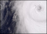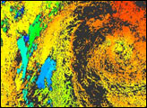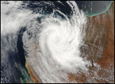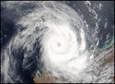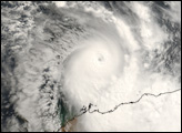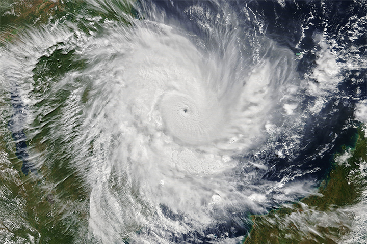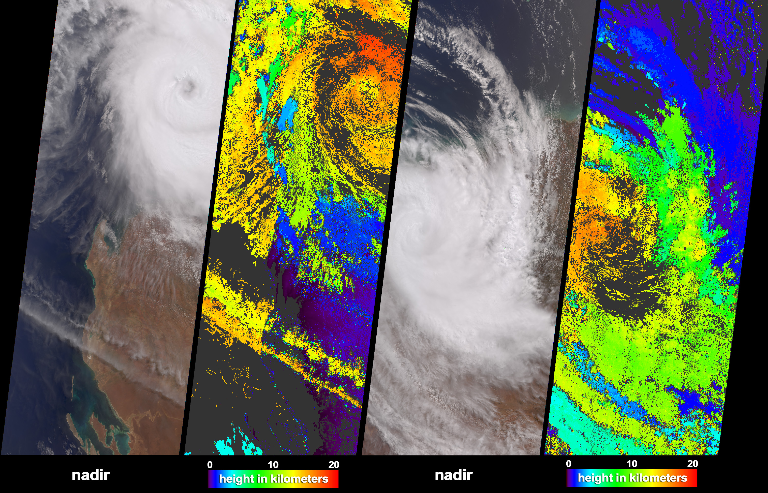
The Multi-angle Imaging SpectroRadiometer (MISR) acquired these natural color images and cloud top height measurements for Tropical cyclone Monty before and after the storm made landfall over the remote Pilbara region of Western Australia, on February 29 and March 2, 2004 (shown as the left and right-hand image sets, respectively). On February 29, Monty was upgraded to category 4 cyclone status. After traveling inland about 300 kilometers to the south, the cyclonic circulation had decayed considerably, although category 3 force winds were reported on the ground. Some parts of the drought-affected Pilbara region received more than 300 millimeters of rainfall, and serious and extensive flooding has occurred.
The natural color images cover much of the same area, although the right-hand panels are offset slightly to the east. Automated stereoscopic processing of data from multiple MISR cameras was utilized to produce the cloud-top height fields. The distinctive spatial patterns of the clouds provide the necessary contrast to enable automated feature matching between images acquired at different view angles. The height retrievals are at this stage uncorrected for the effects of the high winds associated with cyclone rotation. Areas where heights could not be retrieved are shown in dark gray.
The Multi-angle Imaging SpectroRadiometer observes the daylit Earth continuously and every 9 days views the entire globe between 82 degrees north and 82 degrees south latitude. The MISR Browse Image Viewer provides access to low-resolution true-color versions of these images. These data products were generated from a portion of the imagery acquired during Terra orbits 22335 and 22364. The panels cover an area of about 380 kilometers x 985 kilometers, and utilize data from blocks 105 to 111 within World Reference System-2 paths 115 and 113.
Image courtesy NASA/GSFC/LaRC/JPL, MISR Team. Text by Clare Averill (Raytheon/JPL).