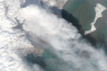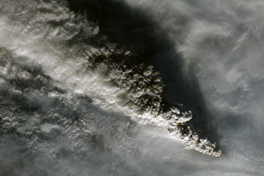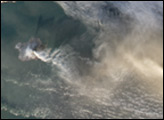
On January 24, 2008, the Alaska Volcano Observatory reported a pronounced increase in the number and intensity of tremors underneath Redoubt Volcano. Scientists at the observatory interpreted the seismic activity as a sign of unrest, and they raised the possibility of an eruption occurring in the near future. Shallow tremors suggestive of moving magma continued from late January through February. Visible evidence of increased volcanic activity appeared at the volcano’s summit. Holes appeared in the ice, and streams of melt water cut across the surface of the Drift Glacier on Redoubt’s north flank.
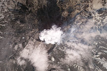
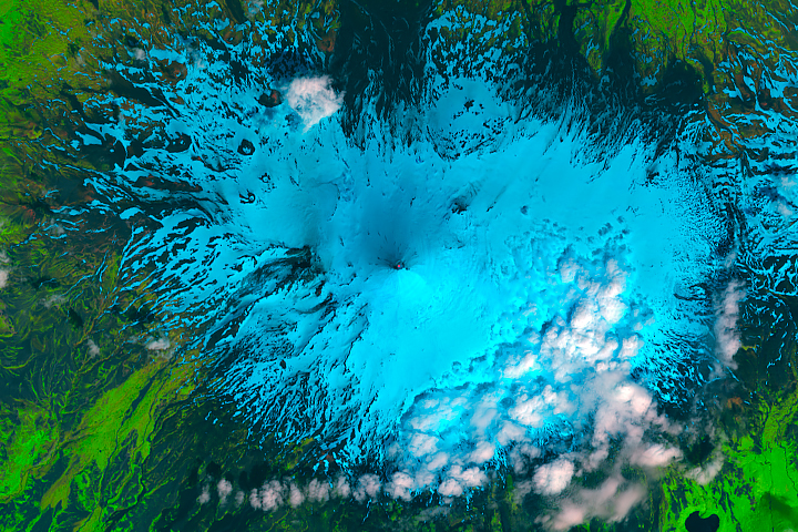
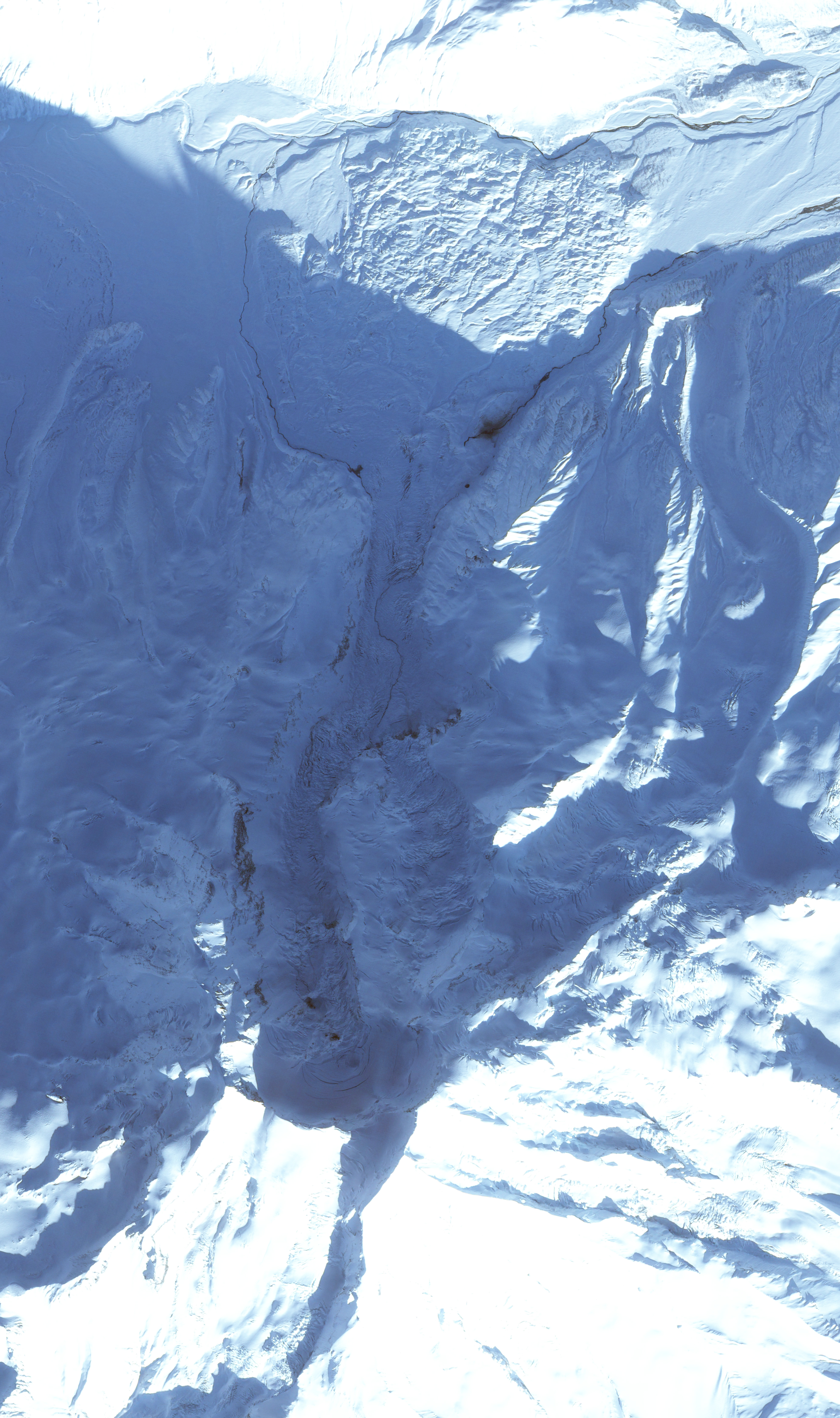
This image, acquired by the Formosat-2 satellite on February 10, 2009, shows some signs of current activity, as well as evidence of past eruptions. Redoubt’s 3,108-meter (10,197-foot) summit is near image center, casting a deep shadow on the volcano’s crater. Buried under ice are two lava domes, formed during eruptions in 1966 and 1990. Dark holes in the northward-flowing Drift Glacier were formed where hot magma heated rocks underlying the ice. Crevasses on the steeply dropping glacier are also visible. The 6,000-foot hole is a pit in the snow caused by volcanic activity. On February 26, 2009, the Alaska Volcano Observatory observed a small lahar—an avalanche of volcanic matter—flowing from the 6,000-foot hole.
Formosat image © 2009 Dr. Cheng-Chien Liu, National Cheng-Kung University, and Dr. An-Ming Wu, National Space Organization, Taiwan. Caption by Robert Simmon.