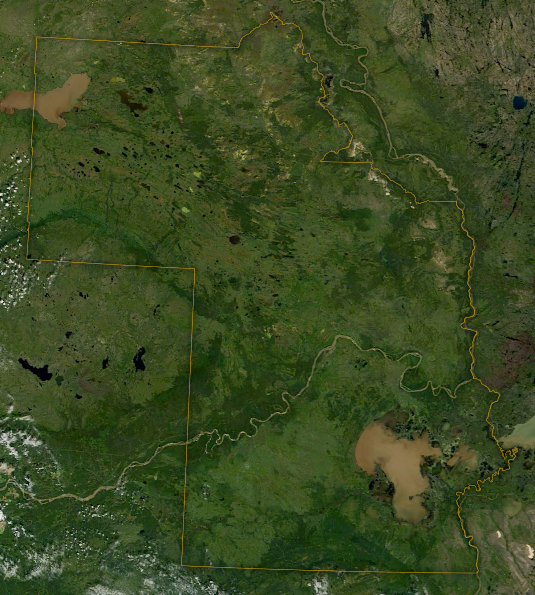
Wood Buffalo National Park spans a vast stretch of the northern boreal plains in Alberta and the Northwest Territories. As Canada’s largest national park, it provides ample space for North America’s largest terrestrial animal, the wood bison, to roam. And the superlatives don’t end there. The park also contains part of North America’s largest freshwater inland river delta and what is believed to be the world’s largest beaver dam.
The park derives its name from the wood bison (Bison bison athabascae) and was established in 1922 to help protect the charismatic beast. According to UNESCO, which has designated the area a World Heritage site, it is the only place where the predator-prey relationship between wolves and wood bison has persisted without interruption. Wood bison can grow to be heavier than the plains bison (Bison bison bison) that is iconic to the American West, making it the largest terrestrial animal in North America.
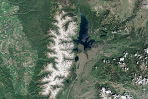
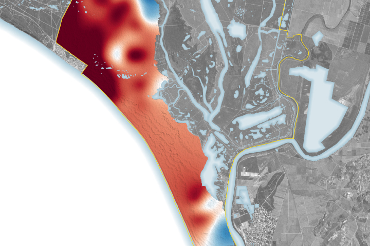
The MODIS (Moderate Resolution Imaging Spectroradiometer) on NASA’s Terra satellite captured this image of Wood Buffalo National Park in August 2022. In addition to the many thousands of square kilometers of boreal plains ecosystem, the park contains several other remarkable landscapes. The northeast corner serves as nesting and breeding grounds for the only self-sustaining population of the endangered whooping crane. And along the eastern border, salt from an ancient sea creates a bright desert. Bubbling springs produce mounds of salt up to 2 meters (6 feet) high, and the nutrients of this giant salt lick attract wildlife.
Lake Claire and land stretching to the east across the park boundary comprise the Peace-Athabasca Delta. This inland river delta—the largest in North America—forms where the Peace River converges with the Athabasca River (faintly visible in this scene, flowing in from the south). The wetland area is important to Indigenous peoples, who rely on it for sustenance and cultural purposes. The habitat also supports abundant wildlife and is utilized by birds migrating along all four North American flyways.
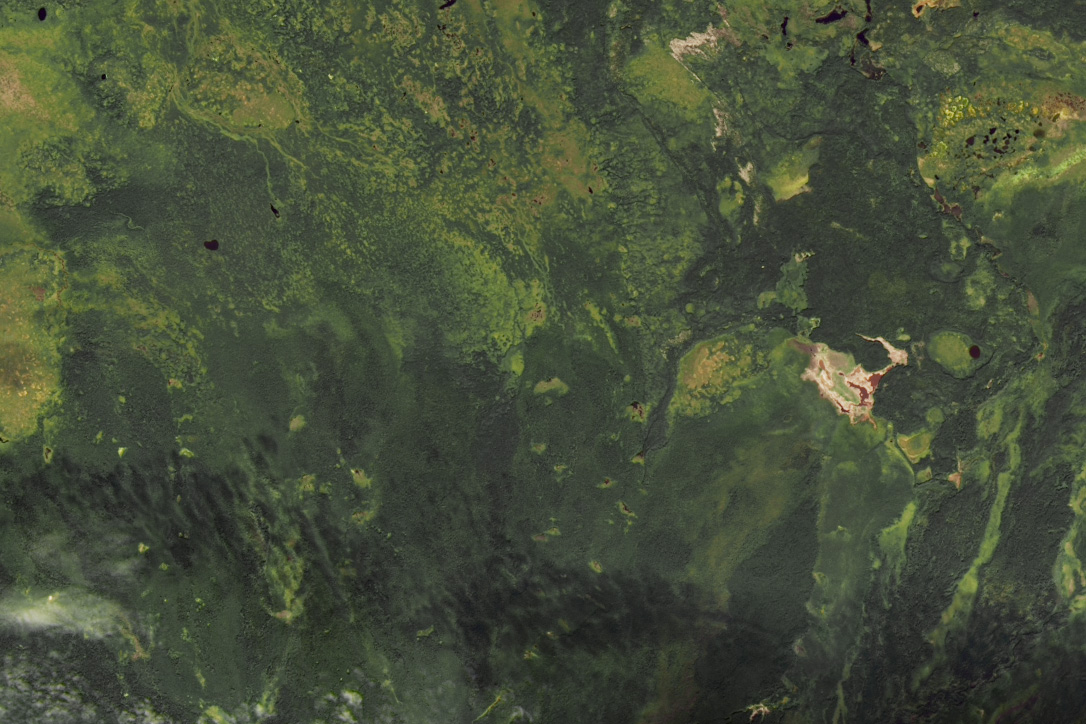
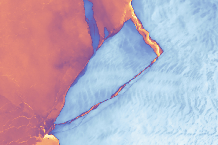
Although somewhat subtle, the feature shown in this image (above) represents the impressive work of nature’s engineers. Most engineering marvels on Earth that are visible from space are made by humans, but beavers have also proven capable of feats on this scale. This beaver dam, considered the world’s largest, measures approximately 800 meters (2,600 feet) long and was identified by studying Landsat imagery. This image was acquired by the OLI-2 (Operational Land Imager-2) on the Landsat 9 satellite in August 2022.
Water from the Birch Mountains to the south feeds the wetlands in this area. Other large dams exist in this area, according to analysis by Canadian ecologist Jean Thie, and image archives indicate the largest one was constructed in the 1980s. Beaver dams are ecologically important for habitat creation, flood control, water filtration, and fire resistance. Due to the waterlogged nature of the area, it is all but impossible for humans to access the dam on the ground; only one person is known to have made it there successfully.
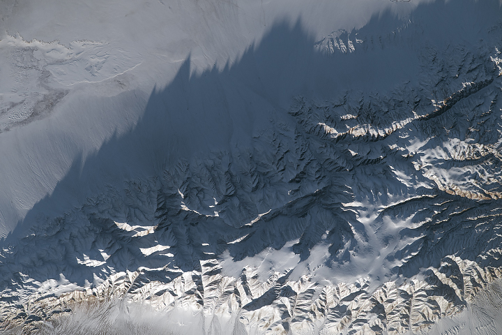
The images shown here, from summer 2022, depict a lush green landscape. However, the boreal ecosystem is adapted to and relies upon wildland fire, and the intense Canadian wildfire season of 2023 has left some of it with a less verdant look. Approximately 20 percent of the park’s area burned in 2023, mostly through three large wildfire complexes, according to the park guide. Smoke obscured the land from satellite view for much of summer 2023. Images from spring 2024 reveal what appear to be widespread burn scars.
Fire is a force for renewal for Wood Buffalo’s ecosystems. For example, ash supplies the soil with nutrients and promotes plant growth. And some tree species rely on fire to open their seed cones to reproduce. As of May 14, 2024, 10 fires were burning within the national park. Several of these were classified as “holdover” fires—hotspots along the perimeter of 2023 fires that have reignited.
Scientists with NASA’s ABoVE (Arctic-Boreal Vulnerability Experiment) have been studying this region for the past decade. NASA will conduct airborne remote sensing there in August 2024 to continue the multi-year time series, allowing researchers to analyze interannual variability in permafrost active layer thickness, thermokarst, post-fire permafrost degradation, and boreal forest structure. Sites include the Peace-Athabasca Delta and burned areas near the national park and the road north to Yellowknife.
NASA Earth Observatory image by Wanmei Liang, using Landsat data from the U.S. Geological Survey, MODIS data from NASA EOSDIS LANCE and GIBS/Worldview and boundaries from ProtectedPlanet. Story by Lindsey Doermann.