The Earth Observatory has published its last Image of the Day on this website. Please join us on our new home at science.nasa.gov/earth/earth-observatory.
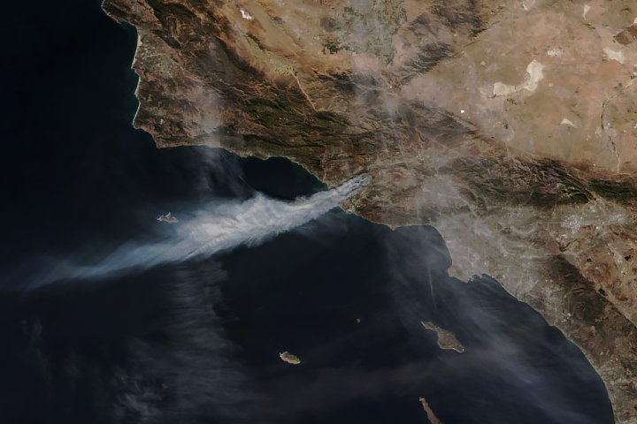
Dozens of fires burned in states across the Mid-Atlantic in March 2024, fueled by gusty winds and low humidity. Wildfires were reported from Maryland to North Carolina, with some of the largest fires in Virginia and West Virginia.
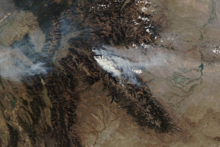
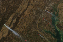
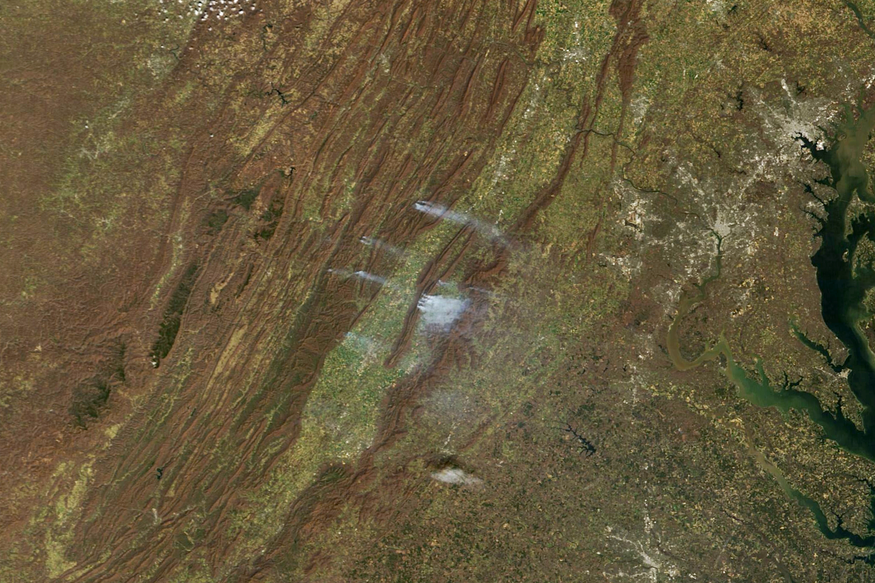
On March 21, the Virginia Department of Forestry said that firefighters had responded to more than 100 wildfires in the previous 48 hours. The fires had burned more than 7,500 acres (3,000 hectares). The MODIS (Moderate Resolution Imaging Spectroradiometer) sensor on NASA’s Terra satellite captured this image of smoke streaming from the fires on that day.
A blaze near Bergton, Virginia, burned about 2,000 acres on March 20, the Rockingham County fire chief told the television station WHSV. The fire chief said it was caused by a downed tree on a power line.
The image also shows a large plume of smoke billowing from a fire in neighboring Page County, 20 miles northeast of Harrisonburg. As of March 21, the fire had burned more than 4,000 acres in George Washington National Forest, near Waterfall Mountain, according to the National Interagency Fire Center. Multiple roads and trails were closed near Luray, Virginia, including a section of the Appalachian Trail.
Although winds died down on March 22, smoke from the fires prompted the Virginia Department of Environmental Quality to issue air quality alerts for the Harrisonburg region. Rain was in the forecast for the area the evening of March 22 into March 23.
NASA Earth Observatory image by Michala Garrison, using MODIS data from NASA EOSDIS LANCE and GIBS/Worldview. Story by Emily Cassidy.