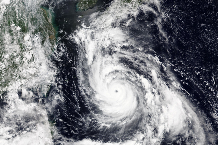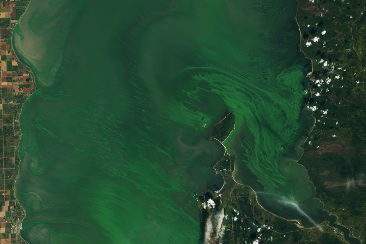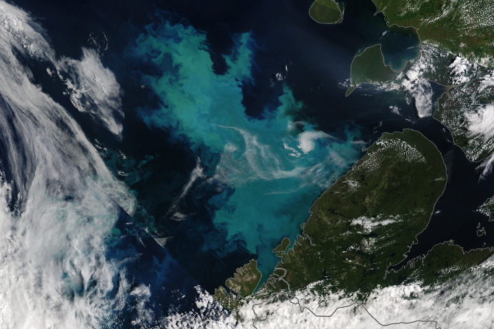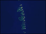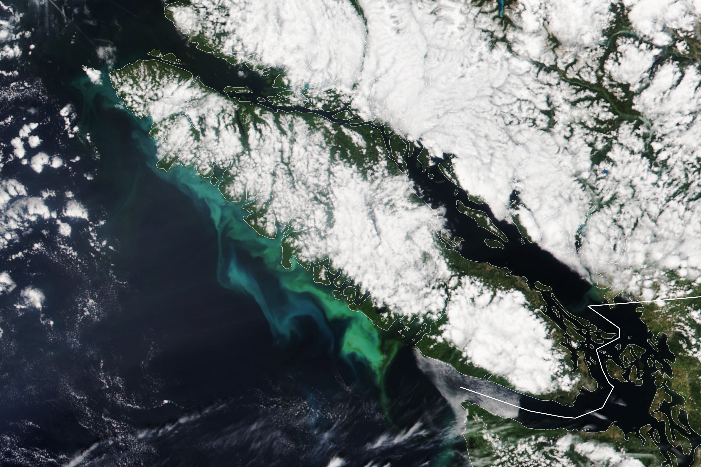
Vibrant turquoise and green water swirled near the coastline of Vancouver Island in late July 2023. The colorful plumes—which are likely comprised of both phytoplankton and sediment—stood out in this image, acquired by the Visible Infrared Imaging Radiometer Suite (VIIRS) on the NOAA-20 satellite on July 26.
Clouds covered much of Vancouver Island and mainland British Columbia at the time of this image. But coastal areas were cloud-free, exposing water that likely contained flourishing populations of phytoplankton—floating plant-like organisms that are the foundation of the aquatic food web.
Phytoplankton blooms are common in the northeast Pacific Ocean during summer as offshore winds push surface waters away from the coast. This causes cooler, nutrient-rich waters to well up from the depths and fuel the growth of phytoplankton. Research has shown that a significant amount of nutrients are supplied by the circulation and upwelling that occurs in the Salish Sea, boosting phytoplankton productivity along the continental shelf off Vancouver Island. The bloom also could have been fed by nutrient-rich sediment running off from the coast.
The greenest areas off the island’s coast may contain diatoms—a microscopic form of algae with silica shells and plenty of chlorophyll. Coccolithophores—a type of phytoplankton armored with calcium carbonate plates—tend to make the water appear more milky-blue and might be present in the bloom.
A future NASA satellite mission called PACE—short for Plankton, Aerosol, Cloud, ocean Ecosystem—will enable researchers to infer more information about ocean ecology, including the species of phytoplankton present in blooms and the rates of their growth. PACE is scheduled to launch no earlier than January 2024.
NASA Earth Observatory image by Lauren Dauphin, using VIIRS data from NASA EOSDIS LANCE, GIBS/Worldview, and the Joint Polar Satellite System (JPSS). Story by Emily Cassidy.