After being soaked in mid-January 2022 by persistent, flooding rainstorms and Tropical Storm Ana, citizens of Madagascar are bracing for the arrival of another potent cyclone. Forecasters from the U.S. Joint Typhoon Warning Center suggest Cyclone Batsirai is likely to make landfall on February 5 in central Madagascar between Mahanoro and Mananjary as a category 2 storm.
The United Nations Office for the Coordination of Humanitarian Affairs estimated that 4.5 million people live within the projected path of the storm. Meteo Madagascar predicted 20 to 40 centimeters (8 to 16 inches) of rainfall and warned of the potential for widespread flooding in the east, southeast, and central highlands.
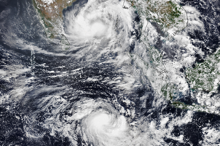
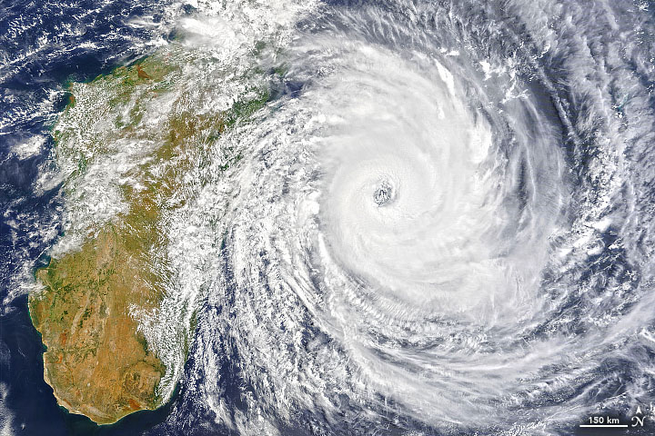
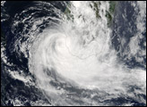
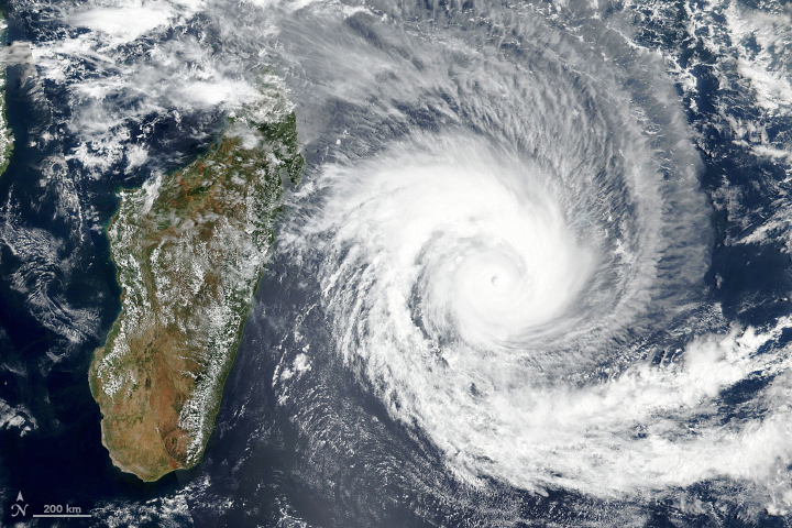
The Moderate Resolution Imaging Spectroradiometer (MODIS) on NASA’s Terra satellite acquired a natural-color image (above) of Cyclone Batsirai in the late morning on February 4, 2022. Around that time, Batsirai had sustained winds of 210 kilometers (130 miles) per hour, a category 4 storm. The storm brushed by Mauritius and Réunion, with strong winds in the outer bands of the storm knocking out electricity in some places.
Jeff Masters, meteorologist and blogger, noted that Madagascar has been hit by a major tropical cyclone about once every three years. “The damage potential is higher than for previous storms of similar intensity,” he said, “because of the considerable deforestation Madagascar has experienced over the past 20 years.”
Batsirai will be crossing over a landscape that has already been soaked and ravaged by damaging floods. A series of heavy rainstorms in mid-January were followed within a week by Tropical Storm Ana. Flooding and landslides killed at least 58 people and displaced more than 70,000.
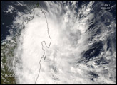
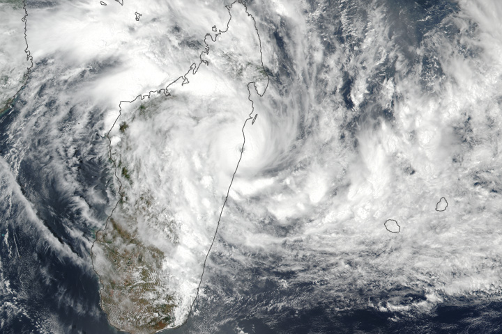
This map shows the total precipitable water vapor in the atmosphere at noon East Africa Time on February 4, 2022. The image was derived from the Goddard Earth Observing System 5 (GEOS-5) model, which uses satellite data and mathematical representations of physical processes to calculate what is happening in the atmosphere. Total precipitable water vapor is the depth of water in a column of the atmosphere if all the water vapor in that column were condensed into liquid. Not all precipitable water vapor necessarily falls as rain; nor is it a limit on the amount of rain that can fall. It is, however, a useful indicator of regions where rainfall could be excessive.
“Frequent cyclones during the agricultural season mean loss of harvest, high food prices, and increased food insecurity,” said Margaret Malu, deputy regional director for the UN World Food Programme. “The people of Southern Africa have been on the front lines of climate extremes for many years now and each passing storm sets them back, resetting the progress made.”
NASA Earth Observatory images by Joshua Stevens, using MODIS data from NASA EOSDIS LANCE and GIBS/Worldview and GEOS-5 data from the Global Modeling and Assimilation Office at NASA GSFC. Story by Michael Carlowicz.


