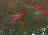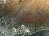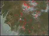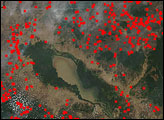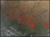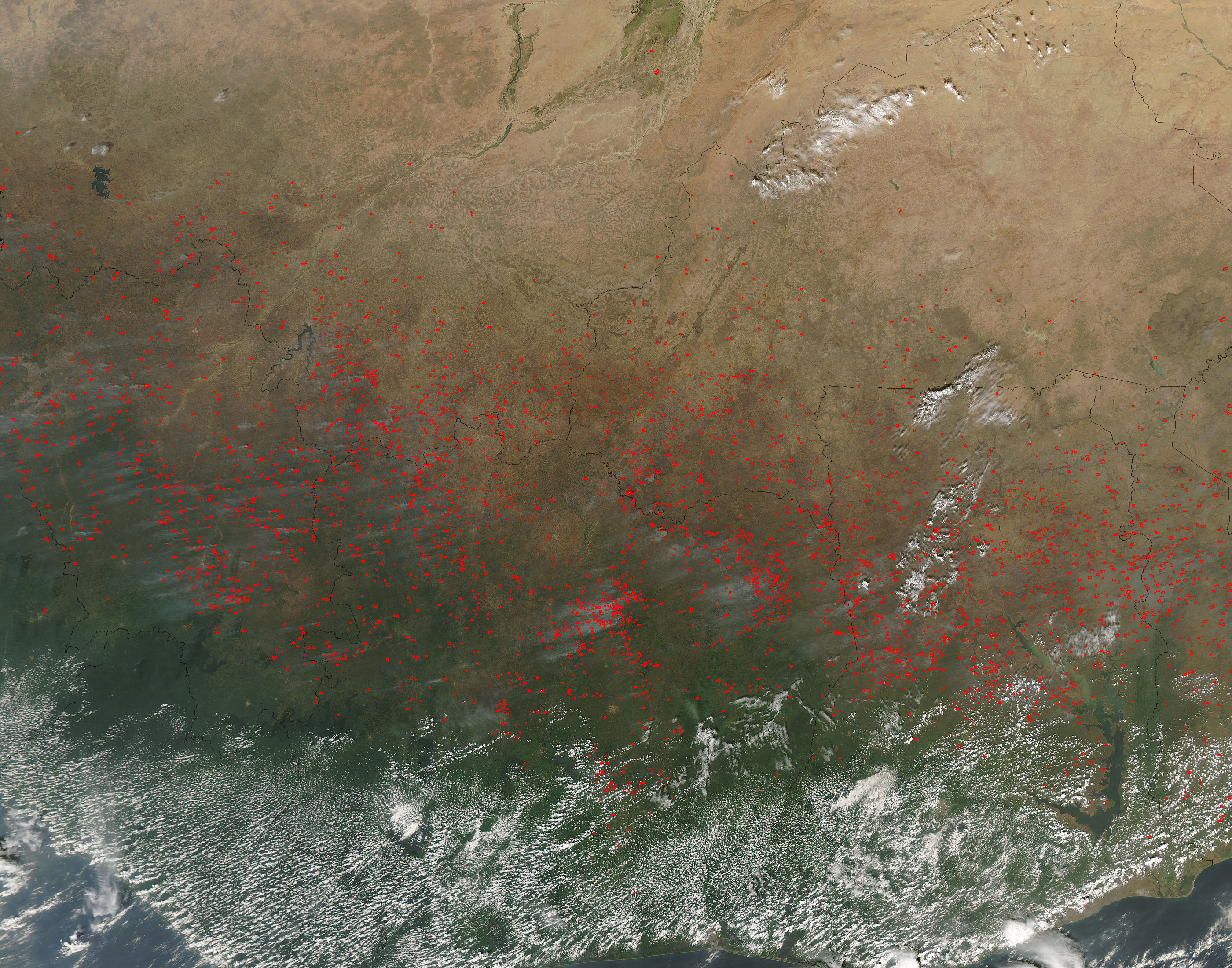
On December 29, 2004, the Moderate Resolution Imaging Spectroradiometer (MODIS) on NASA’s Aqua satellite captured this image of West Africa, showing the annual agricultural burning season fully underway. MODIS detected hundreds, possibly thousands, of fires, and their locations are marked with red dots.
The image is centered on Côte D'Ivoire (Ivory Coast). Within the country, some regions were dotted with numerous scattered fires, while in other regions, for example the central and northeastern areas, fires are concentrated. December is one of the months in which farmers and herders engage in agricultural burning, and most of these fires are probably agricultural fires.
People set fires to clear farmland of the previous season's crop stubble, to stimulate the growth of new, more nourishing grasses, and in some cases, to clear woodlands and rainforests to create more room for agricultural activities. Although agricultural fires are not necessarily immediately hazardous, such large-scale burning can have a strong impact on weather, climate, human health, and natural resources.The high-resolution image provided above is 500 meters per pixel. The MODIS Rapid Response System provides this image at additional resolutions.
Image courtesy Jacques Descloitres, MODIS Rapid Response Team, NASA-Goddard Space Flight Center