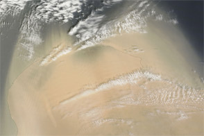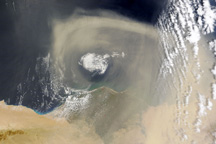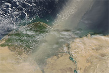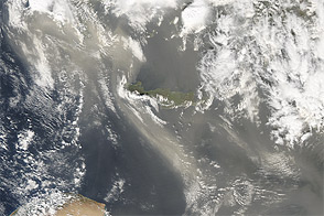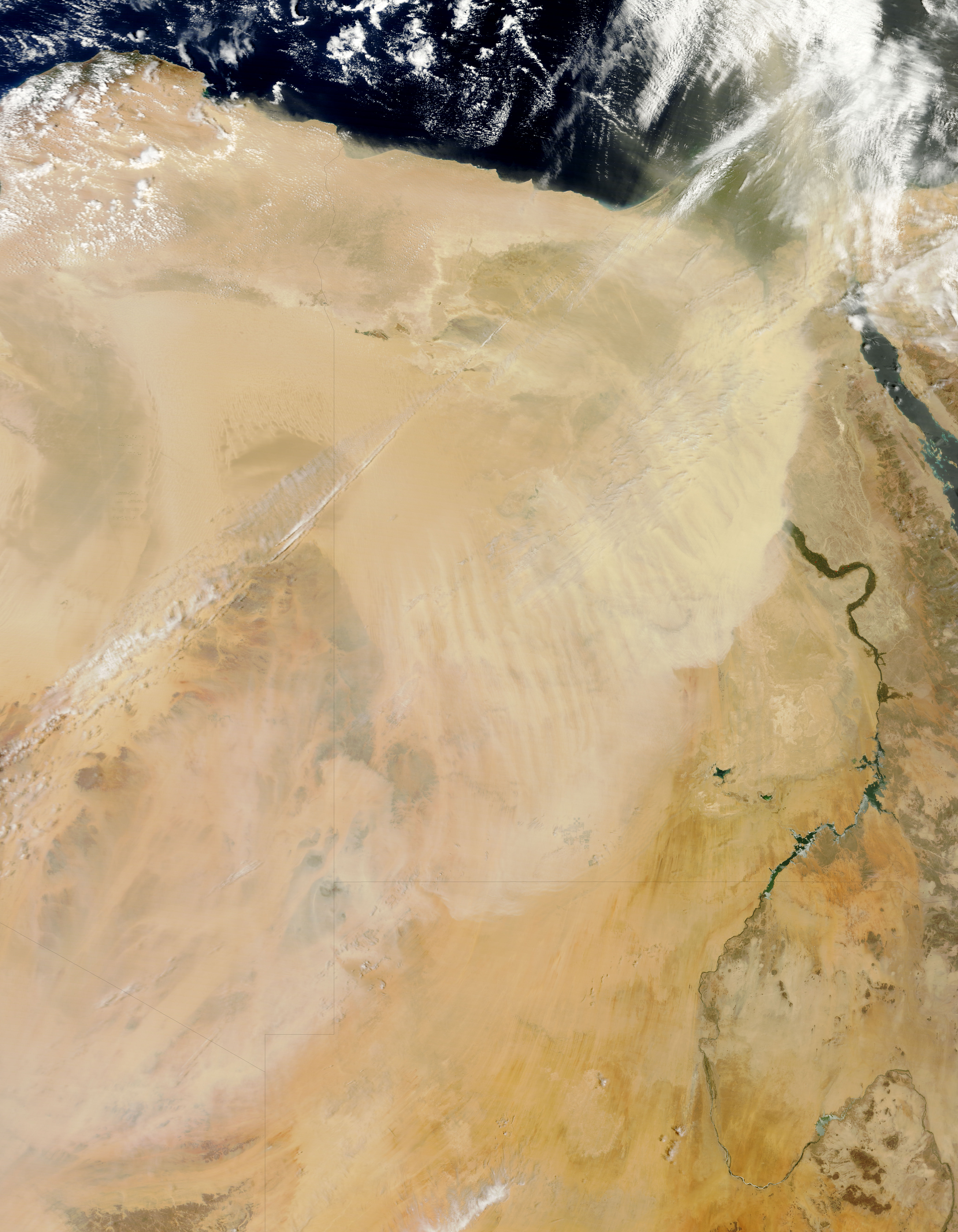
After dust blew off the coast of Libya and over the Mediterranean Sea for two days, a wall of dust moved eastward over Egypt. The Moderate Resolution Imaging Spectroradiometer (MODIS) on NASA’s Terra satellite captured this natural-color image on April 18, 2012.
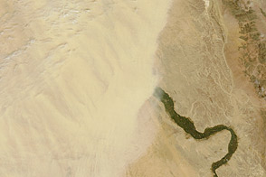
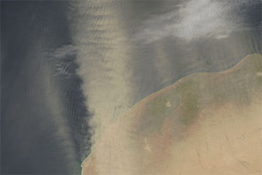
The dust plume extended roughly north-northeast to south-southwest, and the dust was thick enough to completely hide the land surface below. On either side of the plume, skies were mostly clear—along the Libya-Egypt border, and over part of the Nile River Valley. A ghostly outline of the Nile Delta appeared through the northeastern edge of the dust storm.
Source points for the dust storm are not obvious in this image, but the dust likely arose from the rich sand seas of northeastern Libya and northwestern Egypt. A change in wind direction probably carried the dust toward the southeast after two days of moving the dust northward over the Mediterranean Sea.
NASA image by Jeff Schmaltz, LANCE/EOSDIS MODIS Rapid Response. Caption by Michon Scott.