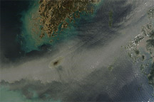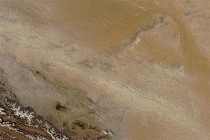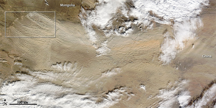
Dust from the Gobi Desert blew across north-central China in early November 2010, with plumes traveling eastward in the direction of Beijing. The dust forms an arc that roughly mimics the Mongolia-China border (top image). In the east, it is partially hidden by clouds.
The Moderate Resolution Imaging Spectroradiometer (MODIS) on NASA’s Terra satellite captured this natural-color image at 12:10 p.m. Beijing time (4:10 UTC) on November 10, 2010.
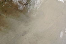
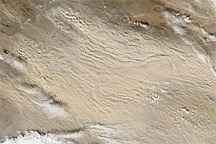
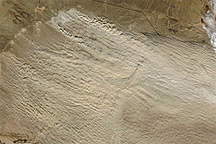
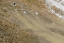
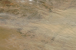
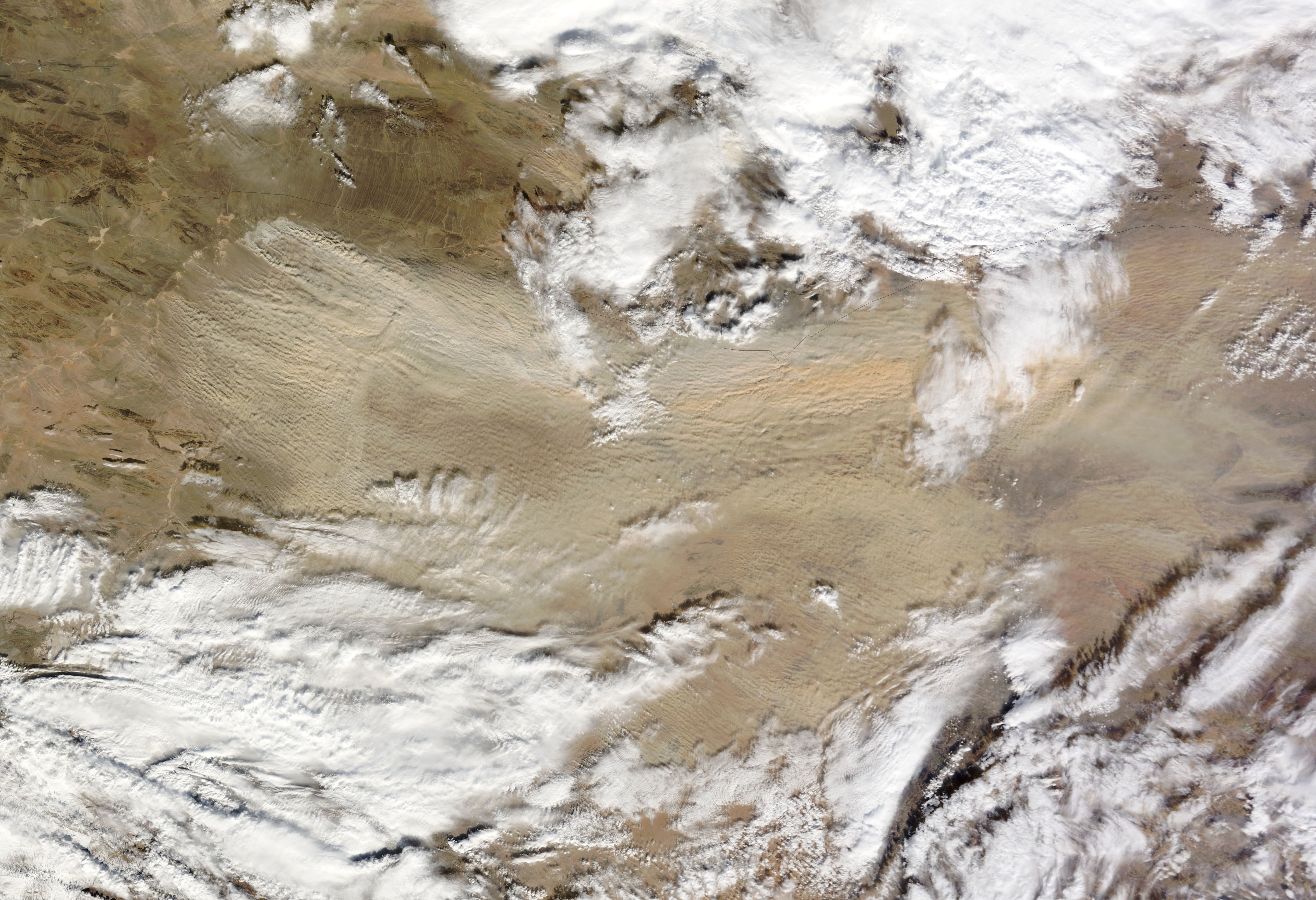
With a name meaning “waterless place,” the Gobi Desert spreads across Mongolia and China. Although much of the land surface consists of bare rock, a large sand sea occurs just south of the border. A multitude of source points for this dust storm occur in that area, as shown in detail in the inset and bottom image.
NASA image by Jeff Schmaltz, MODIS Rapid Response Team at NASA GSFC. Caption by Michon Scott.