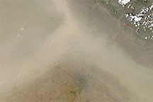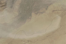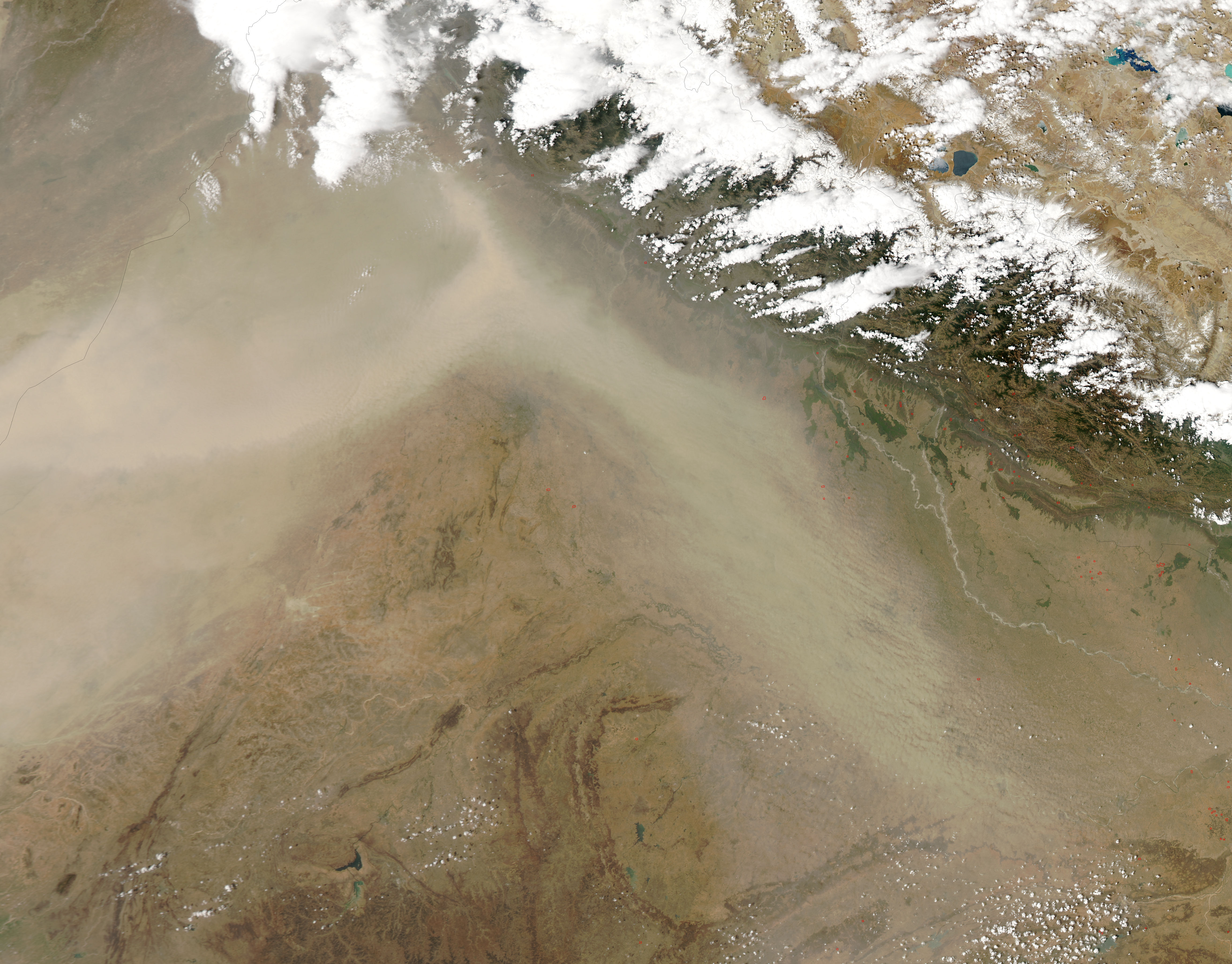
Dust blew through northern India in late April 2010, changing direction just west of the Himalaya. The dust plume likely lingered from the previous day’s activity.
The Moderate Resolution Imaging Spectroradiometer (MODIS) on NASA’s Aqua satellite captured this natural-color image on April 21, 2010. The thickest dust misses Delhi, sweeping north of the city, changing direction, and tracing the southern face of the Himalaya. At its southeastern tip, the dust plume forms distinct wave patterns south of Nepal. (Red dots are hotspots associated with wildfires and/or agricultural fires.)
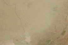
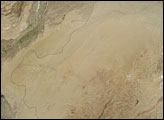
Source points for the dust plume are not obvious in this image, and much of the dust probably arose from the Thar Desert, a massive sand sea spanning the India-Pakistan border.
NASA image by Jeff Schmaltz, MODIS Rapid Response Team at NASA GSFC. Caption by Michon Scott.