The Earth Observatory has published its last Image of the Day on this website. Please join us on our new home at science.nasa.gov/earth/earth-observatory.
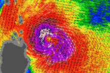
Typhoon Lupit began on October 14, 2009, as a tropical depression over the Western Pacific. By October 16, the storm had strengthened to a typhoon. According to the Joint Typhoon Warning Center, the storm had sustained winds of 65 knots (120 kilometers her hour) and gusts up to 80 knots (148 kilometers per hour). Like Ketsana and Parma before it, Lupit was headed in the general direction of the Philippines.
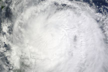
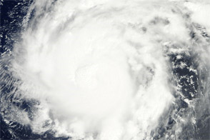
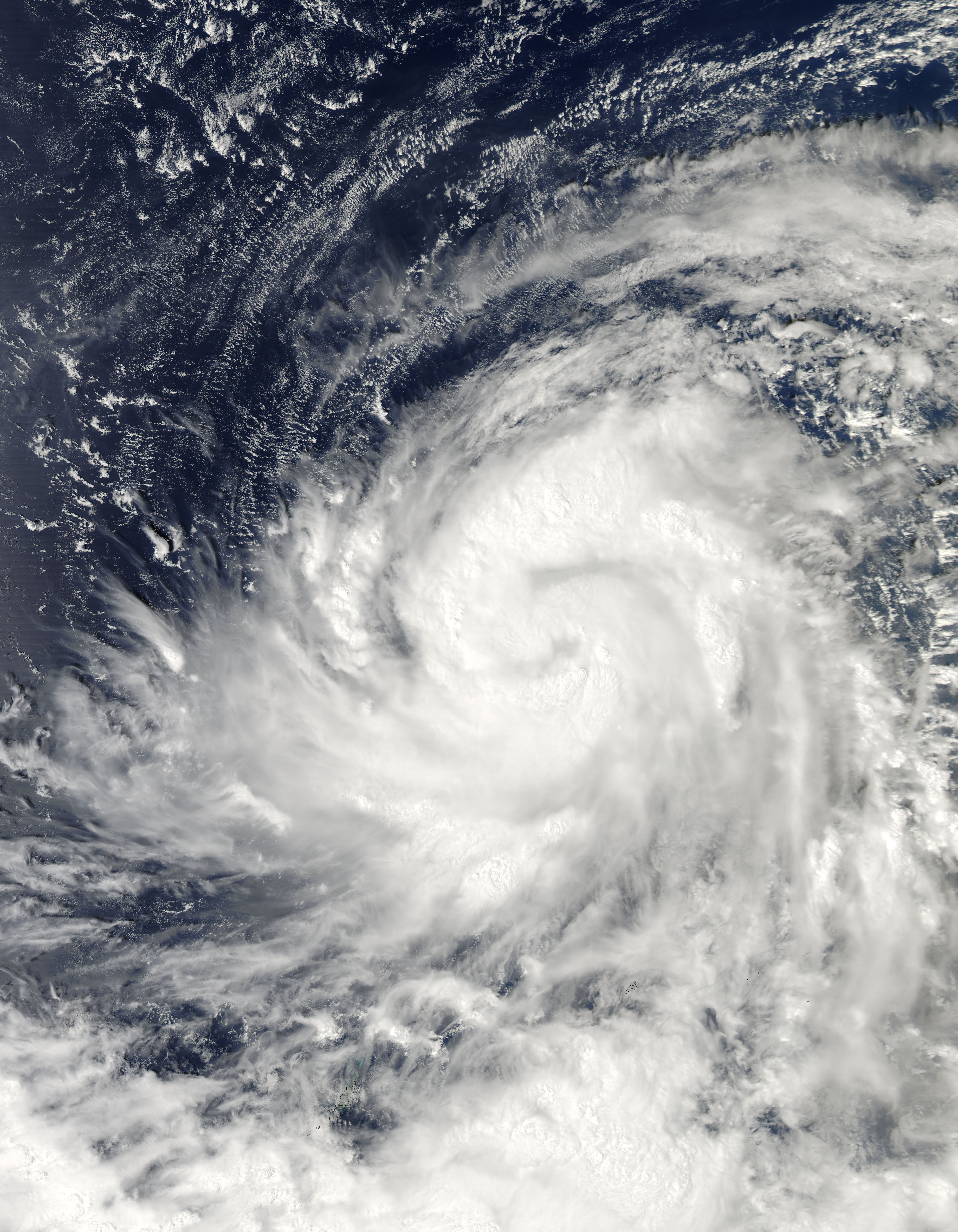
The Moderate Resolution Imaging Spectroradiometer (MODIS) on NASA’s Aqua satellite captured this image of Typhoon Lupit on October 16, 2009. Swirling storm clouds fill most of the scene as the typhoon spans several hundred kilometers.
The high-resolution image provided above is at MODIS’ full spatial resolution (level of detail) of 250 meters per pixel. The MODIS Rapid Response System provides this image at additional resolutions.
NASA image by Jeff Schmaltz, MODIS Rapid Response Team, Goddard Space Flight Center. Caption by Michon Scott, NASA Earth Observatory.