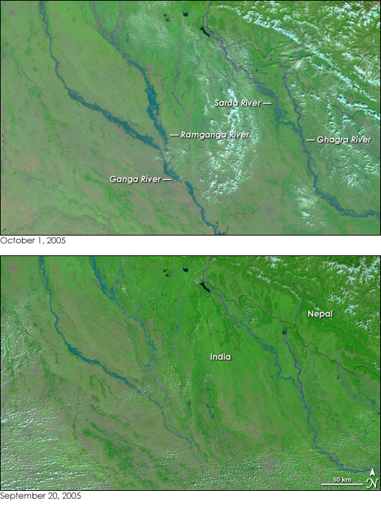
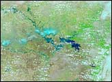
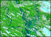
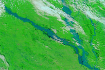
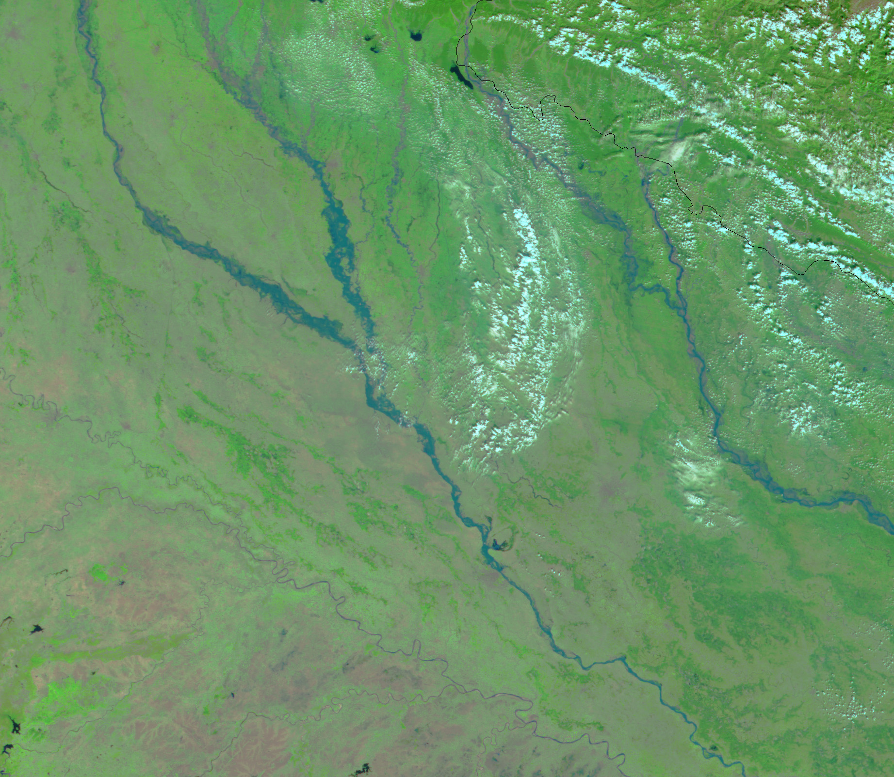
The Ganga (Ganges) River and its tributaries were swollen with late monsoon rains when the Moderate Resolution Imaging Spectroradiometer (MODIS) on NASA’s Terra satellite captured the top image on October 1, 2005. Torrential rains pounded northern India and Nepal through much of the second half of September 2005. The subsequent floods and landslides killed dozens in the two countries combined. These two images show the progression of the floods through northern India. Though severe flooding occurred in Nepal, it is not visible in these images.
The lower image shows the rivers on September 20, four days after the floods began. In the false-color images, water is dark blue, clouds are pale blue, and vegetation is bright green. On September 20, the upper reaches of the Ganga and Ramganga Rivers are flooded compared to their state on October 1. By October 1, the flood water had moved downstream, gathering at the convergence of the two rivers. The Sarda and Ghagra Rivers are also larger than they were ten days earlier.
NASA images courtesy Jesse Allen, based on data from the MODIS Rapid Response Team at NASA GSFC


