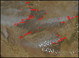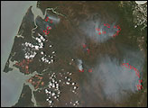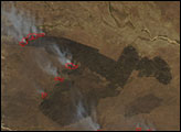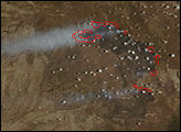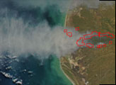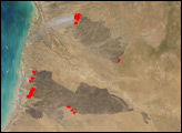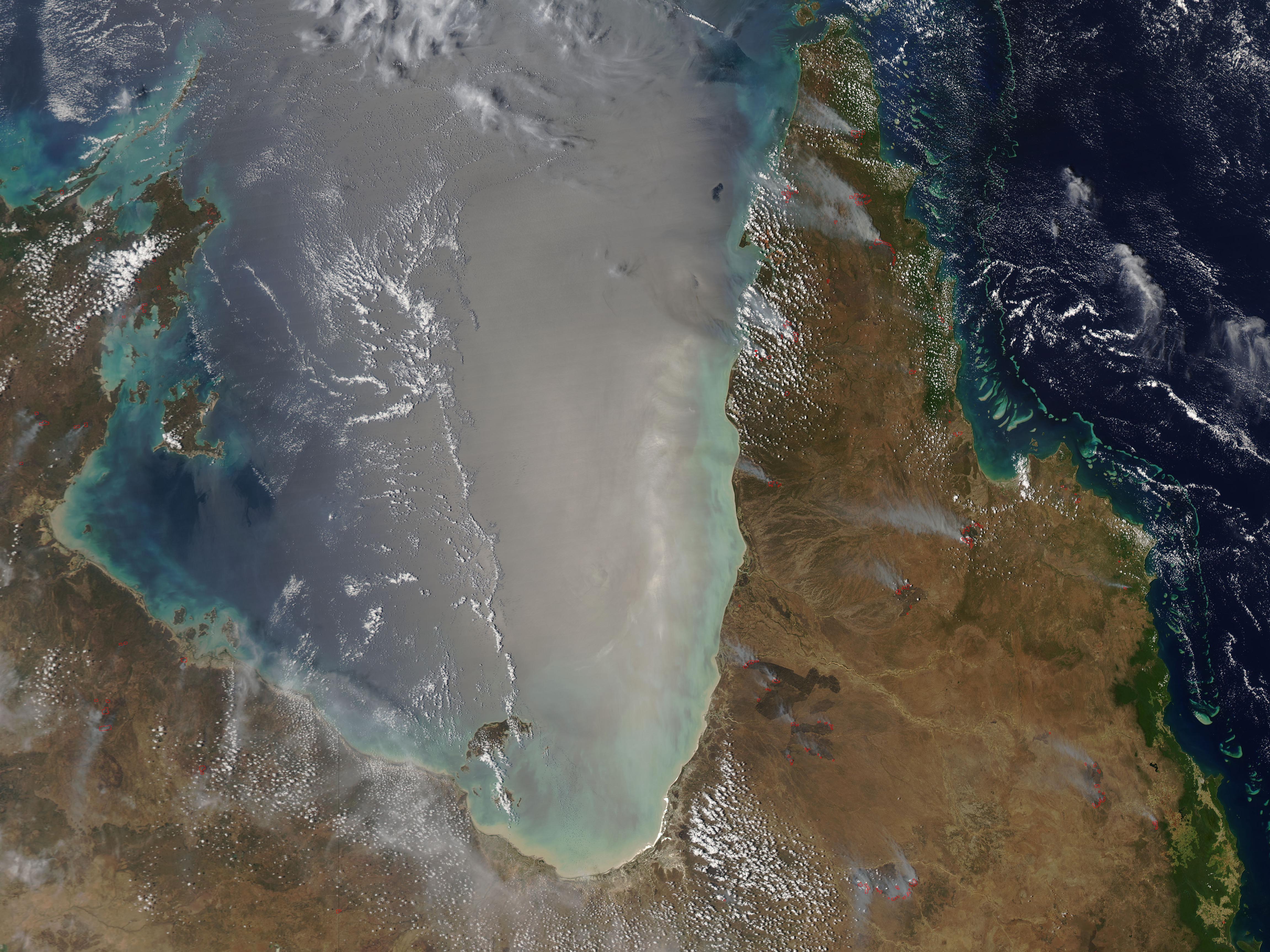
Numerous large fires were burning across the grasslands and savannas of Queensland’s Cape York Peninsula on November 13, 2006, when the Moderate Resolution Imaging Spectroradiometer (MODIS) on NASA’s Aqua satellite passed overhead and captured this image. This image shows a close-up of two large fires burning in the southwestern part of the peninsula, south of the Mitchell River. (The large version of the image shows numerous fires burning across the entire peninsula). Places where the sensor detected actively burning fire are outlined in red. Unburned savanna vegetation appears tan, while burned areas are deep brown. Pockets of more lush vegetation line the dry riverbeds, appearing deep green. Sediment and the glare of sunlight give the waters of the Gulf of Carpentaria (image left) a washed-out appearance.
Traditional, Aboriginal landowners as well as modern farmers, ranchers, and scientists understand the importance of seasonal fires in maintaining the grasslands of the Cape York Peninsula. Without periodic fire, woody shrubs begin to encroach on the grasslands. Prescribed fire is part of the land management strategy for the tropical savanna ecosystem of Cape York Peninsula today. The fires pictured here are probably intentional, natural-resource management fires. For more on the role of fire in tropical savannas, visit the website of Australia’s Tropical Savannas Cooperative Research Centre.
The high-resolution image provided above has a spatial resolution of 250 meters per pixel. The MODIS Rapid Response System provides twice-daily images of Australia via a clickable map.
NASA image courtesy the MODIS Rapid Response Team, Goddard Space Flight Center.