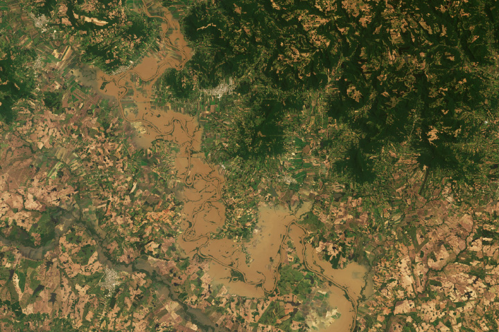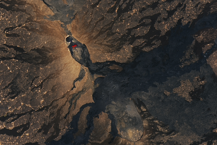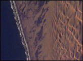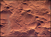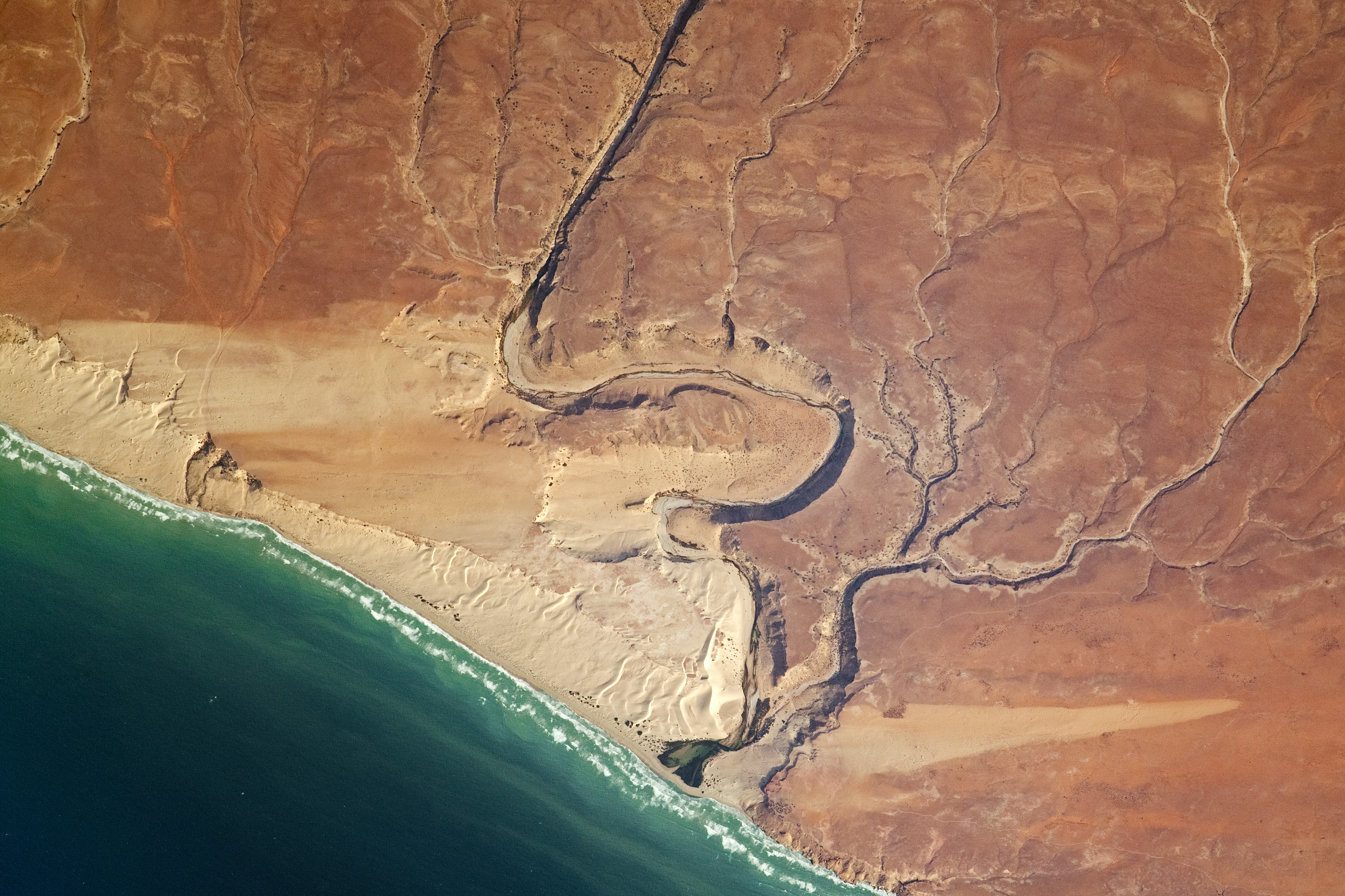
While orbiting over the Horn of Africa, an astronaut aboard the International Space Station took this photograph of Somalia’s northeast coast. The detailed image reveals a desert landscape etched by wind and water.
Over time, streams have cut canyons into the earth. But streams in this region are ephemeral, making groundwater the main source of fresh water. The water table is shallow (wells are typically drilled less than 20 meters deep) and meets the surface toward the coast, creating springs.
Bidirectional winds sculpted the tan, brown, and reddish sand into transverse sand dunes visible near the stream’s deltas. The orientation of the sand dunes indicates that they were likely formed by summer winds blowing up the coast from the southwest.
Astronaut photograph ISS069-E-56267 was acquired on August 9, 2023, with a Nikon D5 digital camera using a focal length of 1150 millimeters. The image was provided by the ISS Crew Earth Observations Facility and the Earth Science and Remote Sensing Unit at Johnson Space Center. The image was taken by a member of the Expedition 69 crew. It has been cropped and enhanced to improve contrast, and lens artifacts have been removed. The International Space Station Program supports the laboratory as part of the ISS National Lab to help astronauts take pictures of Earth that will be of the greatest value to scientists and the public and to make those images freely available on the Internet. Additional images taken by astronauts and cosmonauts can be viewed at the NASA/JSC Gateway to Astronaut Photography of Earth. Caption by Amber Turner/Jacobs-JETS II Contract at NASA-JSC.