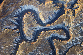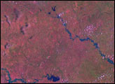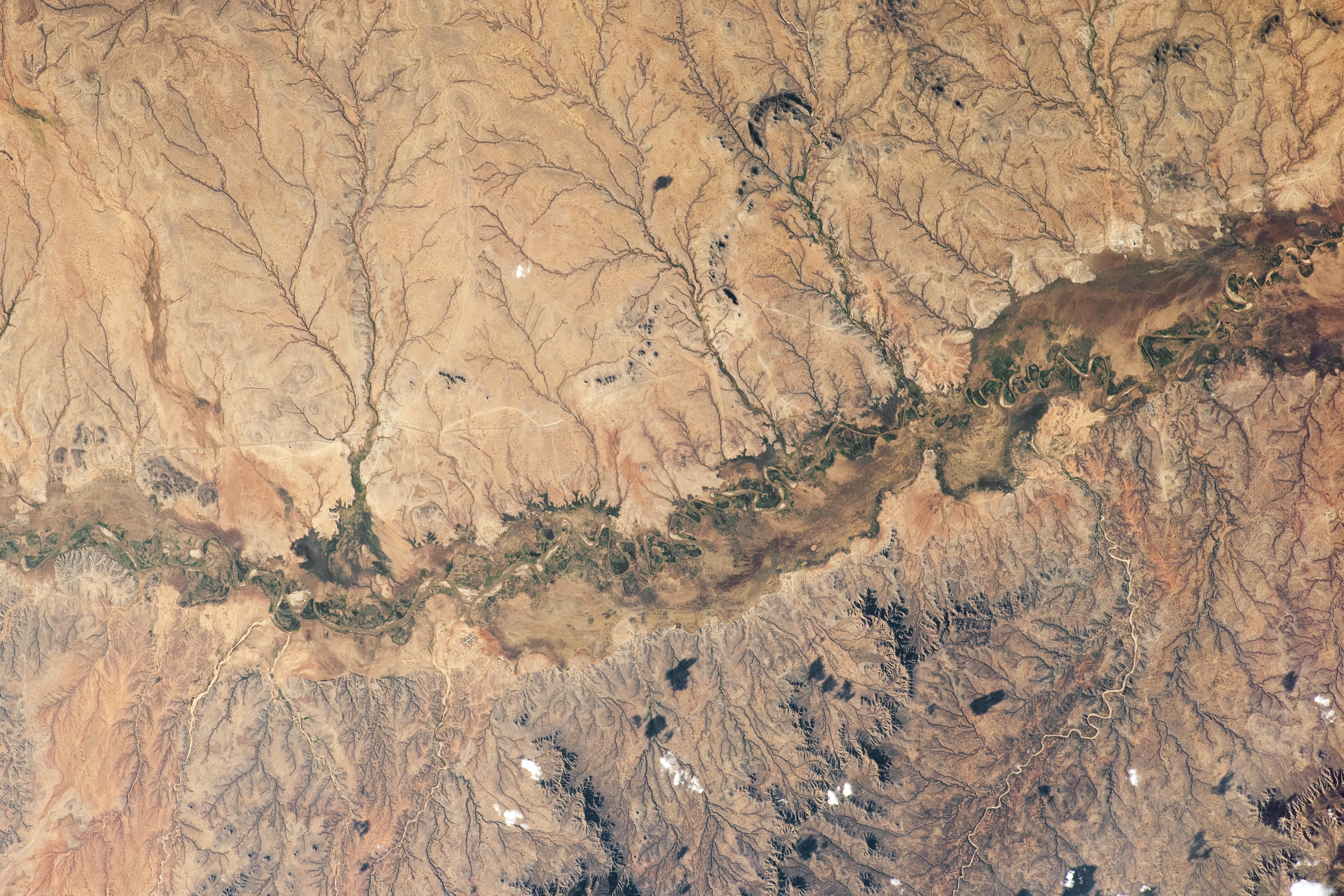
An astronaut orbiting aboard the International Space Station took this photograph of the Shebelle River floodplain in a remote part of southeastern Ethiopia. The floodplain stands out as the relatively narrow, dark band crossing the center of the image. The towns of Gherber Offer and Galmey are connected by roads that cross the hills above the floodplain.
The Shebelle River arises from the well-watered highlands of Ethiopia and flows more than 1000 kilometers (600 miles) across the country—the longest river in eastern Ethiopia—before continuing into Somalia and toward the Arabian Sea. This image shows a small, 56-kilometer (35-mile) stretch of the Ethiopian segment.
In this desert region, the river is usually dry but occasionally experiences heavy flooding. The floodplain is about 6 kilometers (4 miles) wide, as measured near the small town of Gherber Offer. The river’s tight meanders wind from side to side of the floodplain, which supports the growth of trees, shrubby vegetation, and crops. Common crops grown in the floodplain are maize and sorghum.
Local streams enter the floodplain, usually forming alluvial fans that appear as triangular shapes opening out onto the main floodplain. The alluvial fan at Galmey is dark green, indicating flourishing vegetation—the result of recent rain in the watershed of the stream. In contrast, the fan on the opposite side of the valley looks tan, indicating a lack of recent flow into its feeder stream. Fans can be identified where other streams enter the main floodplain; two appear west of Gherber Offer with one on each side of the floodplain.
Another astronaut image shows a detailed view of irrigation infrastructure just east of this image on the Shebelle floodplain.
Astronaut photograph ISS062-E-103426 was acquired on March 20, 2020, with a Nikon D5 digital camera using a focal length of 200 millimeters. It is provided by the ISS Crew Earth Observations Facility and the Earth Science and Remote Sensing Unit, Johnson Space Center. The image was taken by a member of the Expedition 62 crew. The image has been cropped and enhanced to improve contrast, and lens artifacts have been removed. The International Space Station Program supports the laboratory as part of the ISS National Lab to help astronauts take pictures of Earth that will be of the greatest value to scientists and the public, and to make those images freely available on the Internet. Additional images taken by astronauts and cosmonauts can be viewed at the NASA/JSC Gateway to Astronaut Photography of Earth. Caption by Justin Wilkinson, Texas State University, JETS Contract at NASA-JSC, and Susan Runco (NASA retired).