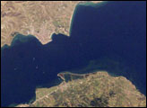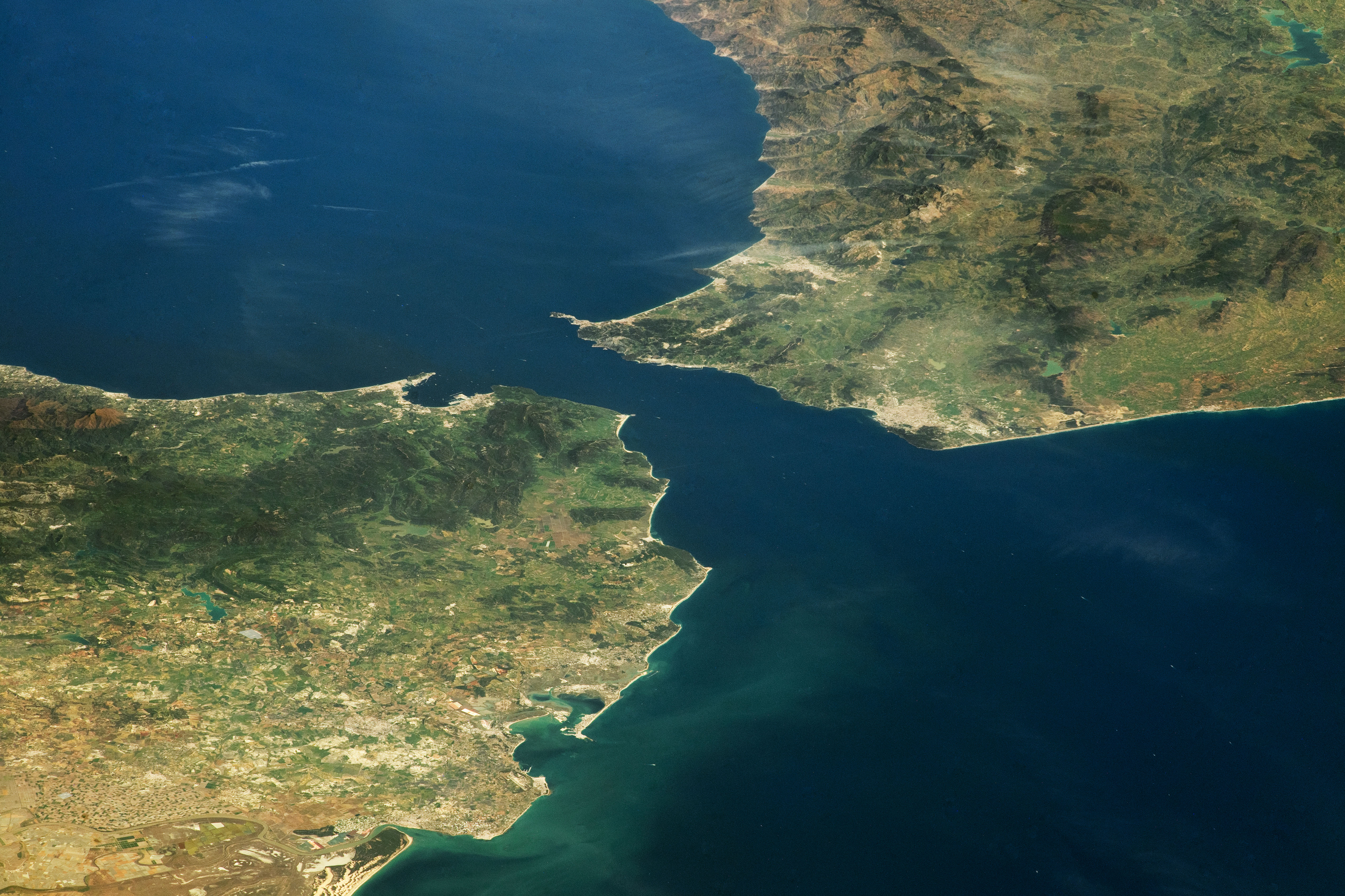
An astronaut aboard the International Space Station captured this photograph of the Strait of Gibraltar, a natural water channel connecting the Atlantic Ocean and the Mediterranean Sea. At the strait’s narrowest point, Spain is only 13 kilometers (8 miles) from the coast of Morocco.
The photograph was taken while the space station orbited over the Atlantic Ocean. At the time, the station’s position was about 900 kilometers (560 miles) from the geographic center of the image as measured on Earth’s surface. Photos taken at oblique angles—as opposed to looking straight down—can highlight the three-dimensionality of Earth’s topography.
Mountainous terrain borders the coastline of the Alboran Sea, a sub-basin of the Mediterranean, creating a long arc of mountains stretching across both continents. This region, known as the Gibraltar Arc System, was formed by complex
An analysis of global datasets suggests that nearly six million years ago, the uplift of the Gibraltar Arc System, in combination with changes in weather patterns around the Mediterranean, caused the area now occupied by the Mediterranean Sea to become disconnected from the Atlantic Ocean. Water that had become isolated from the ocean completely dried up and left behind an enormous, hot basin, approximately 1,500 meters (5,000 feet) deep. Another study suggests that about 300,000 years later, precipitation increased, and water from the Atlantic Ocean began to flow into the basin, flooding it and producing the sea that exists today. This flood event is calculated to have been three orders of magnitude larger than the yearly water discharge of the Amazon River.
Dense forests paint the tops of the ranges dark green. Lower-lying areas are lighter in color, mostly due to agricultural and urban developments. The ancient port cities of Cádiz, Ceuta, Tangier, and Gibraltar display light grey and pink tones from buildings with terracotta roof tiles. Today, the Strait of Gibraltar provides passage for approximately 300 ships every day, including fishing boats, ferries, cargo ships, and yachts.
Astronaut photograph ISS069-E-3412 was acquired on April 14, 2023, with a Nikon D5 digital camera using a focal length of 180 millimeters. It is provided by the ISS Crew Earth Observations Facility and the Earth Science and Remote Sensing Unit, Johnson Space Center. The image was taken by members of the Expedition 69 crew. The image has been cropped and enhanced to improve contrast, and lens artifacts have been removed. The International Space Station Program supports the laboratory as part of the ISS National Lab to help astronauts take pictures of Earth that will be of the greatest value to scientists and the public, and to make those images freely available on the Internet. Additional images taken by astronauts and cosmonauts can be viewed at the NASA/JSC Gateway to Astronaut Photography of Earth. Caption by Sara Schmidt, GeoControl Systems, JETS Contract at NASA-JSC and Justin Wilkinson, Texas State University, JETS Contract at NASA-JSC.