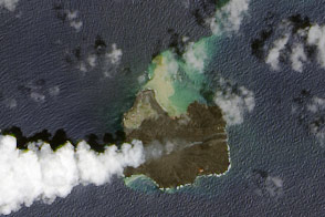
Today’s image is the answer to Earth Observatory’s August Puzzler.
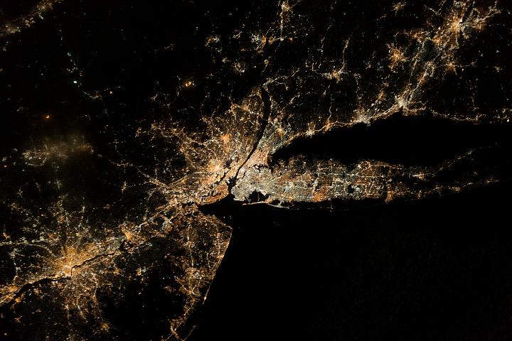
Since the Mercury missions of the early 1960s, astronauts have taken more than 1.8 million photographs of the Earth from orbit, and about one-third of them have been taken at night. These images are freely available to the public through The Gateway to Astronaut Photography of Earth, which opens up a great opportunity for citizen science.
Photographs taken by astronauts on the International Space Station (ISS) are the highest-resolution night imagery available, asserts William Stefanov, NASA’s associate program scientist for Earth observations from the space station. While satellites collect data on a more consistent basis, astronauts with cameras can often get a sharper view. What they cannot always get is the exact location they are viewing.
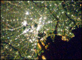
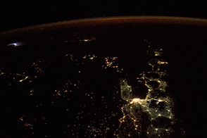
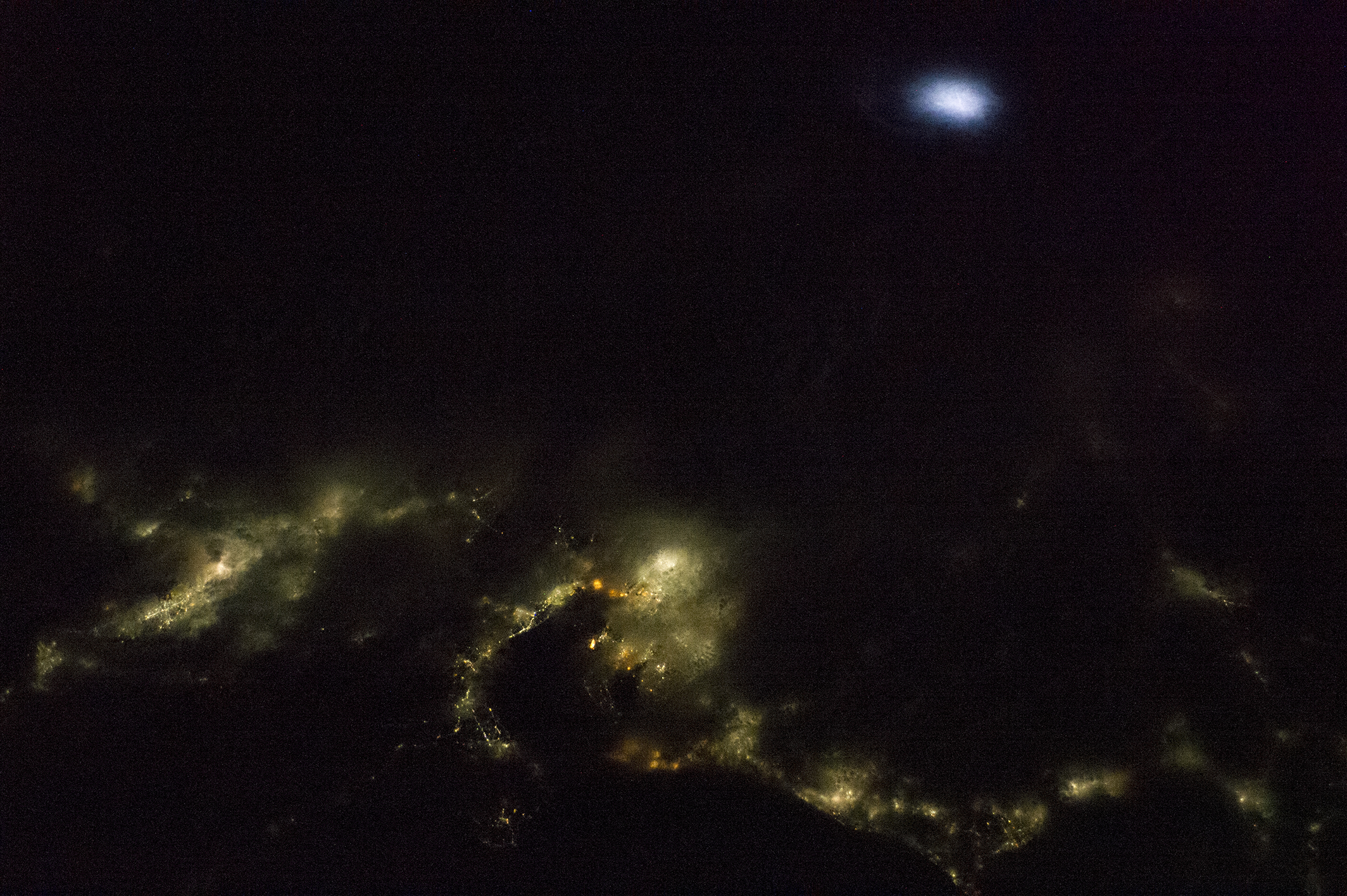
Astronauts captured this photograph of south-central Japan on August 16, 2014, as the space station was passing over the western Pacific Ocean. The brightest spot in the center of the photo is the port city of Nagoya, the third largest metropolitan area in Japan. To the left, the lights of the Osaka, Kyoto, and Wakayama urban areas pierce through clearings in the cloud cover. (Note that north is to the upper right in this image.) Much of the scene is obscured by cloud cover, though a lightning storm lights up the clouds to the north. Note how the lightning is much whiter than the yellow and orange hues of city lights.
The Complutense University of Madrid (UCM) is leading Cities at Night, a citizen-science project to catalog such nighttime images. So far, hundreds of volunteers have classified nearly 20,000 images for the three-part project. In part one, “Dark Skies,” people are asked to sort photos based on whether they show cities, stars, or other objects. In “Night Cities,” participants use their knowledge of local geography to identify points of light and match them to positions on maps.
Finally, “Lost at Night” asks people to identify the cities within a 310-mile circle. “We don’t know which direction the astronaut pointed the camera, only where the station was at the time the image was taken,” explains Alejandro Sanchez, a graduate student at UCM. “Some images are bright cities but others are small towns. It is like a puzzle with 300,000 pieces.”
Congratulations to Bruce Boucek, who was the first to identify the cities in this puzzler image. James Titmas, Yumiko Stettler, and Jyo Sano also correctly identified the Nagoya area.
Astronaut photograph ISS040-E-98889 was acquired on August 16, 2014, with a Nikon D3S digital camera using an effective 42 millimeter lens, and is provided by the ISS Crew Earth Observations Facility and the Earth Science and Remote Sensing Unit, Johnson Space Center. The image was taken by the Expedition 40 crew. It has been cropped and enhanced to improve contrast, and lens artifacts have been removed. The International Space Station Program supports the laboratory as part of the ISS National Lab to help astronauts take pictures of Earth that will be of the greatest value to scientists and the public, and to make those images freely available on the Internet. Additional images taken by astronauts and cosmonauts can be viewed at the NASA/JSC Gateway to Astronaut Photography of Earth. Caption by Mike Carlowicz, partly based on a release by Melissa Gaskill, NASA Johnson Space Center.