
New elevation measurements will give researchers an unprecedented understanding of the thickness of sea ice, which will be used to help improve climate modeling and forecasts.
Published Dec 18, 2018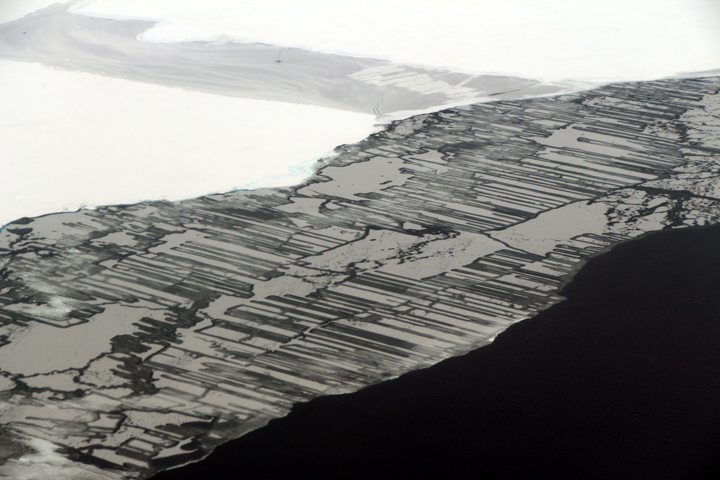
As a result of the collision, blocks of ice slide above and below each other in a pattern that resembles a zipper or interlocking fingers.
Published Nov 22, 2017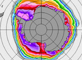
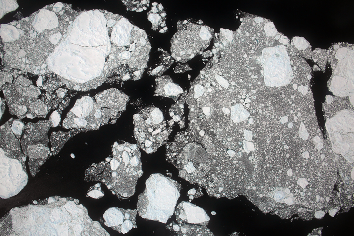
Areas of new sea ice are visible in the vicinity of the Larsen C ice shelf off the Antarctic Peninsula.
Published Jan 2, 2018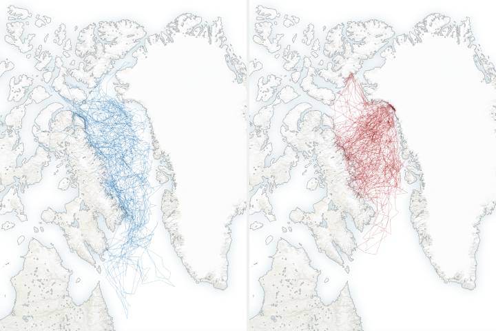
A new study shows that polar bears are spending less time on sea ice, leading them to fast longer, become thinner and have fewer cubs.
Published Feb 4, 2020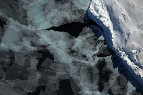
A spectacular view of sea ice was captured during an Operation IceBridge flight in 2014; the mission surveyed ice at both poles again in 2015, this time simultaneously.
Published Oct 4, 2015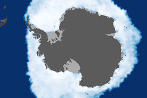
As the Arctic experienced a new record summer minimum for ice extent, the Antarctic set a new record for maximum winter sea ice.
Published Oct 11, 2012
The 2014 arctic sea ice minimum is the sixth lowest on record, while antarctic sea ice continues to exceed the record maximum extent.
Published Sep 24, 2014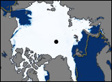
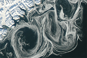
Thin sea ice swirled along the east coast of Greenland in October 2012, against a backdrop of overall thinning sea ice.
Published Oct 27, 2012
Carried by winds and currents, sea ice can reach the coast of Hokkaido, Japan.
Published Mar 19, 2020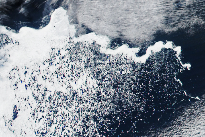
Nature can generate some perplexing patterns, such as this isolated, snake-like patch of sea ice.
Published Apr 15, 2018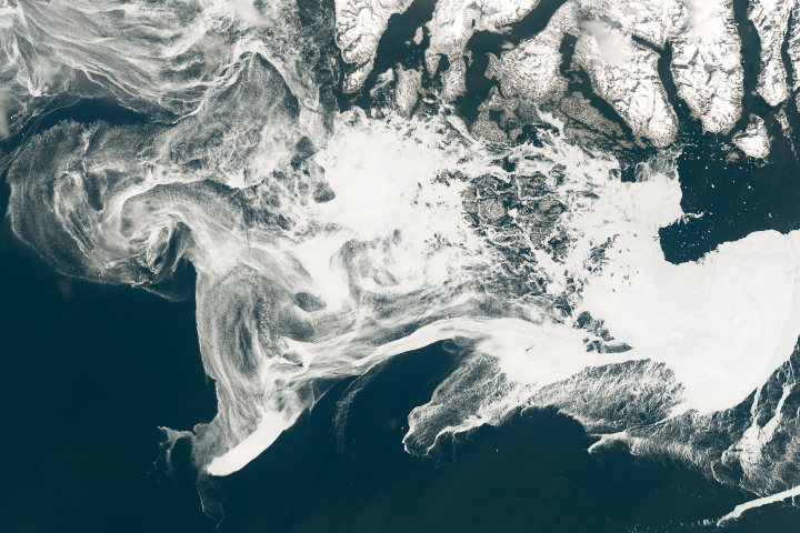
Filaments of sea ice stretch across the waters off southern Greenland, an area that is typically ice-free.
Published May 18, 2019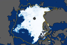
These images show overall Arctic sea ice extent on September 19, 2010 (the date of the 2010 minimum), and sea ice growth in mid-September 2010.
Published Oct 6, 2010