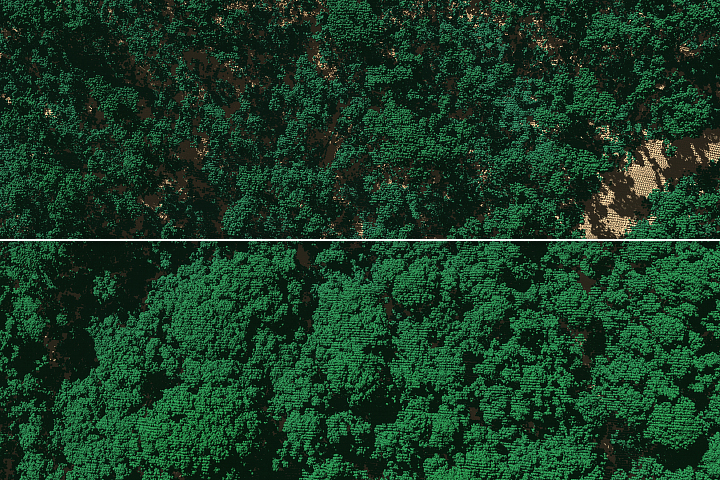
A research team has found that 40 to 60 percent of the tall trees surveyed on the island either lost large branches, were snapped in half, or were uprooted by strong winds from Hurricane Maria.
Published Feb 1, 2019Image of the Day Atmosphere Land Severe Storms Remote Sensing
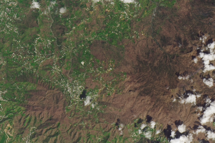
Forests are on the path to recovery even as many roof repairs remain undone.
Published Sep 26, 2018Image of the Day Atmosphere Land Life Severe Storms Human Presence Remote Sensing
Hurricane Matthew closed in on the Atlantic coast after devastating Haiti earlier this week. The storm’s western eyewall brushed parts of Florida.
Published Oct 7, 2016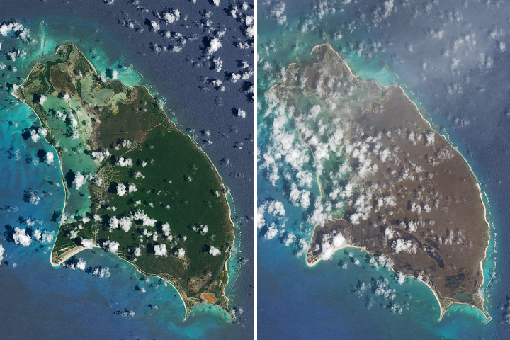
Lush landscapes on the Caribbean islands turned brown after being battered by the powerful storm.
Published Sep 13, 2017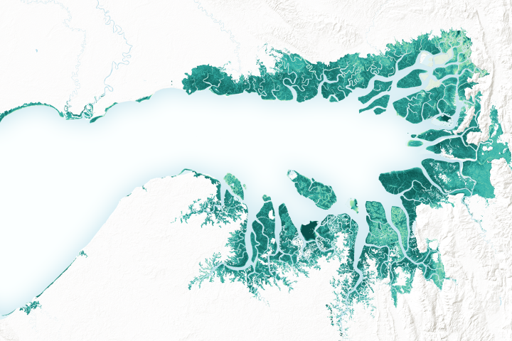
Mangrove forests are among the planet’s best carbon scrubbers.
Published Feb 27, 2019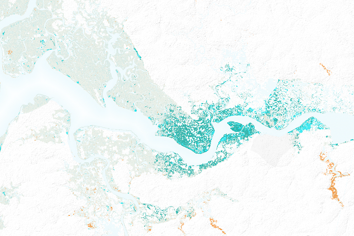
After decades of decline, satellites show mangrove forests are covering more area and growing more densely in this West African country.
Published Mar 21, 2018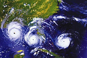
Twenty years ago, one of the most intense hurricanes on record tore through southern Florida.
Published Aug 24, 2012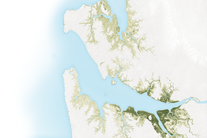
The mangroves in Pongara National Park are among the tallest in the world, towering up to 60 meters.
Published May 19, 2017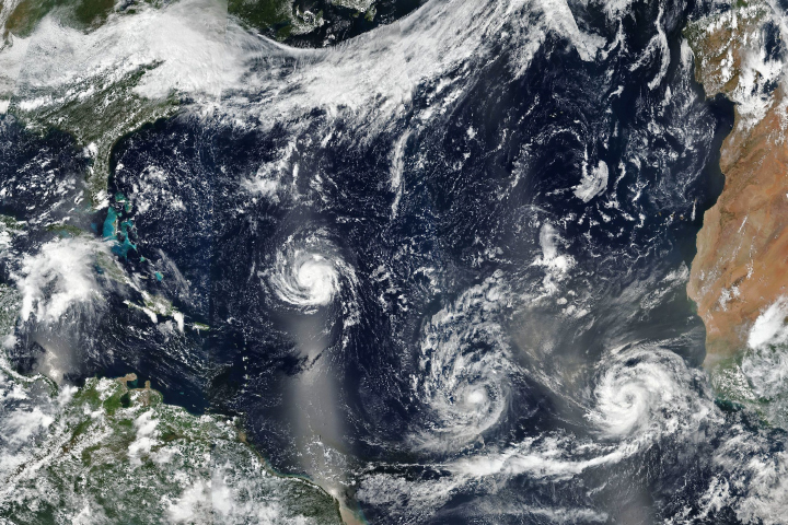
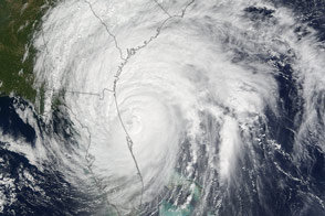
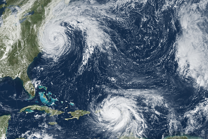
As three hurricanes churn, Florence has forecasters on edge.
Published Sep 10, 2018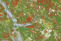
Damage to forests in the path of destructive Hurricane Hugo in 1989 appear in this disturbance map of South Carolina made from Landsat 5 satellite data.
Published Apr 1, 2010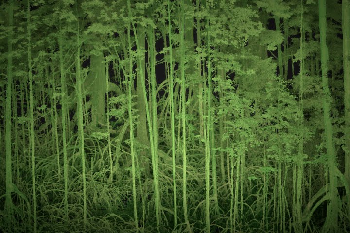
Scientists use lasers and cameras to characterize the 3D structure of mangrove forests in Gabon.
Published Jun 1, 2017
The powerful hurricane is believed to be the strongest on record to hit the northwestern Bahamas.
Published Sep 1, 2019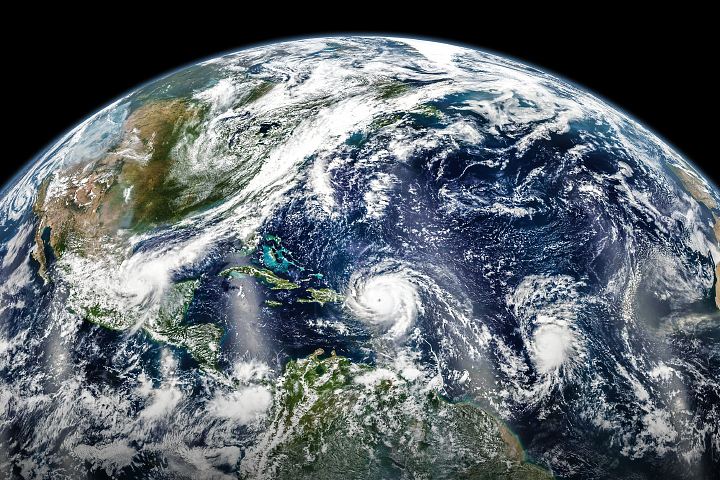
In early September 2017, hurricanes Katia, Irma, and Jose lined up across the Atlantic basin.
Published Sep 7, 2017
Satellites and astronauts observed the potent storm as it headed for landfall in the southeastern United States.
Published Sep 12, 2018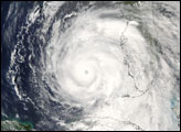
Hurricane Maria brought potent winds and dire warnings to Caribbean islands just two weeks after Irma devastated the region.
Published Sep 20, 2017Image of the Day Atmosphere Land Water Severe Storms Human Presence Remote Sensing
