Acquired in September 2009 and March 2011, these false-color images compare conditions in Australia’s Channel Country.
Published Dec 26, 2012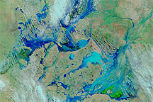
Acquired March 2 and 8, 2011, these false-color images show extensive changes to Australia’s Channel Country after days of rain.
Published Mar 8, 2011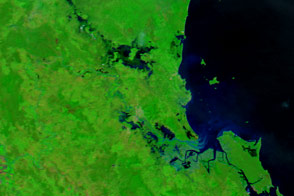
The city of Rockhampton is bracing for major flooding.
Published Apr 4, 2017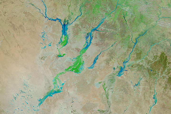
Big rain events in Queensland can alter the landscape for months as water—and then a carpet of vegetation—moves toward Lake Eyre.
Published Apr 3, 2019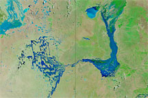
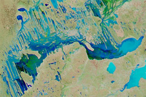
Acquired March 26, 2010 (top), and March 14, 2010 (bottom), these false-color images track the movement of floodwaters in Australia’s Channel Country.
Published Mar 29, 2010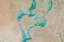
Water flowed through Australia’s Channel Country on February 18, 2009, as seasonal rivers and wetlands filled in response to seasonal rains in Australia's north.
Published Feb 18, 2009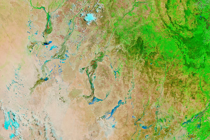
Big rain events in Queensland can alter the landscape for months as water—and then a carpet of vegetation—moves toward Lake Eyre.
Published Mar 13, 2020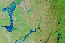
These false-color images of southwestern Queensland on March 14, 2010 (top), February 17, 2010 (middle), and March 16, 2009 (bottom), reveal the extent of recent, severe flooding.
Published Mar 16, 2010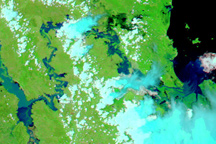
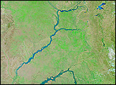
Rivers in Australia’s Fitzroy Basin are swollen in this false-color image acquired on January 4, 2011.
Published Jan 6, 2011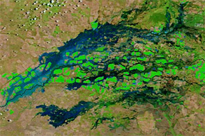
Flood waters swelled rivers along the Queensland-New South Wales border in early February 2013.
Published Feb 5, 2013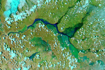
Drenching wet-season rains led to extensive flooding in Northern Territory and Queensland, Australia in early January 2009.
Published Jan 6, 2009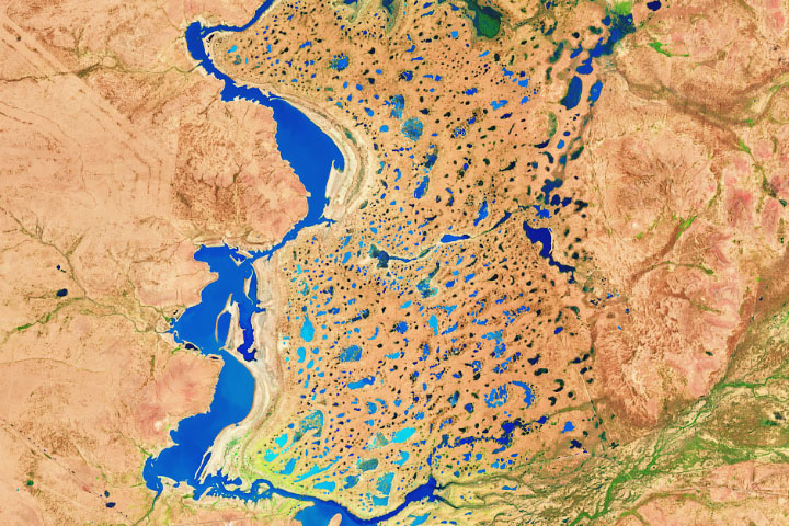
Heavy rain in March drenches parched land in southwestern Queensland.
Published Mar 20, 2020