Heavy snow from late January to early February 2017 could lead to flooding later in the season.
Published Feb 17, 2017Image of the Day Land Severe Storms Snow and Ice Remote Sensing
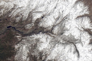
Flying over the Sierras in a Twin Otter aircraft, NASA scientists are finding new ways to measure the amount of water stored in the winter snowpack with greater accuracy than ever before.
Published Apr 3, 2014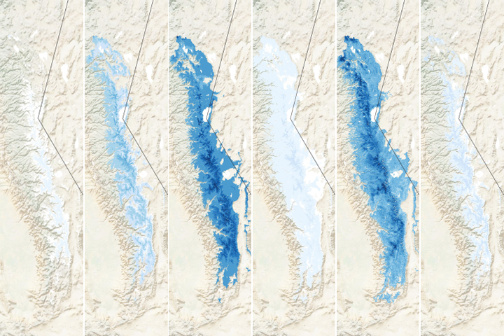
The winter of 2019-2020 was much drier than usual in California, as evidenced by the dearth of snow in the mountains.
Published Mar 13, 2020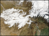
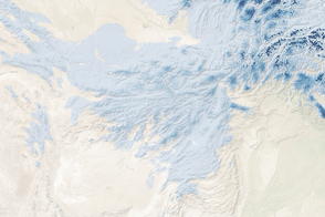
Snow is not unusual in Afghanistan; in fact, a deep snow pack is necessary if the country is to have water during the dry summer months. But January 2006 hit the Central Asian country harder than normal.
Published Feb 8, 2006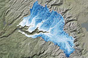
NASA airborne snow surveys provide key information for California water managers.
Published Apr 22, 2017
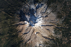
Mount Shasta is usually snow-capped. But this winter, it is a lot more brown than white, as drought deepens in California.
Published Jan 17, 2014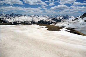
Scientist Tom Painter examines the differences between pure and dirty snow. A rise in dust can be a critical influence on snow-fed water supplies in the American West.
Published Sep 1, 2013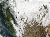
Image of the Day Atmosphere Land Life Severe Storms Snow and Ice
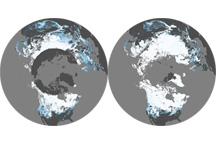
This pair of maps shows average percent snow cover in December 2008 and February 2009, the first and last months of meteorological winter in the Northern Hemisphere.
Published Mar 6, 2009