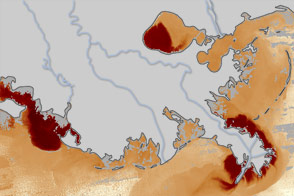
These maps illustrate how much sediment flowed into the Gulf of Mexico during the floods on the Mississippi River in May and June 2011. The nutrient-rich sediment is expected to contribute to the development of a record dead zone this summer.
Published Jun 24, 2011
Engineers use levees, floodways, dams, and much more to control the ever restless Mississippi.
Published Mar 18, 2015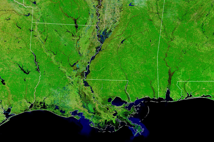
Persistent rains and saturated soils across the watershed swelled the river to its banks and occasionally onto floodplains.
Published Feb 4, 2020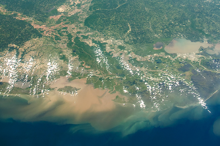
The river drains water and sediment from 31 U.S. states, delivering both to the Gulf of Mexico via the Atchafalaya and Mississippi River deltas.
Published Jul 5, 2019
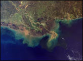
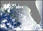
Sediment-laden water pours into the northern Gulf of Mexico from the Atchafalaya River in this photo-like image taken on April 7, 2009.
Published Apr 18, 2009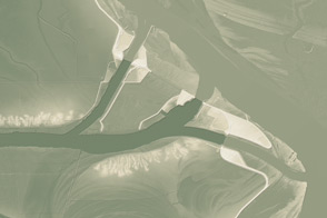
This model of the land elevation between the Mississippi, the Atchafalaya, and the Old River show the uphill fight to control river flow.
Published Jun 4, 2011
Time, weather, and human intervention have all shaped the Mississippi Delta in Louisiana, a giant bird’s foot shape protruding into the Gulf of Mexico. The Mississippi River deposits sediment into the ocean, and over 25 years, NASA Landsat satellites observed changes in the delta’s shape.
Published Oct 7, 2007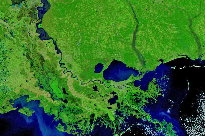
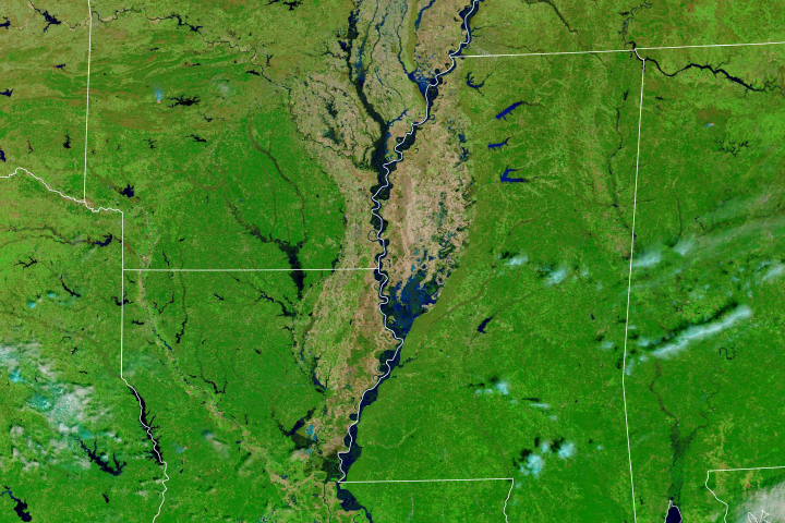
Persistent heavy rains in the first two months of 2020 have swelled rivers from Missouri to the Gulf of Mexico.
Published Feb 29, 2020Image of the Day Land Water Floods Severe Storms Human Presence Remote Sensing
Much of the Lower Mississippi River was flooded in March.
Published Mar 20, 2019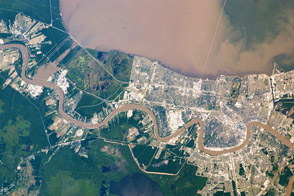
Taken May 17, 2011, this astronaut photograph shows a plume of thick sediment in Lake Pontchartrain, delivered through the Bonnet Carré Spillway.
Published May 20, 2011
In the summer months, a large portion of the Mississippi River outflow heads southeast into the Gulf of Mexico.
Published Sep 22, 2005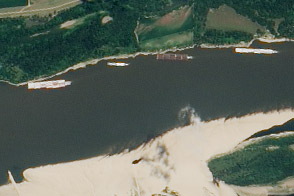
The drought of 2012 reduced traffic to one towboat at a time; groundings closed parts of the river for hours to days.
Published Aug 23, 2012