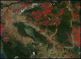
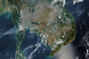
Dozens of fires burn in farmland around Cambodia’s Tonle Sap in this photo-like image taken on January 21, 2011.
Published Jan 24, 2011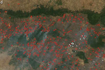
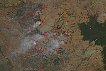
An arc of hundreds of individual fires wraps around the northern part of Cambodia, north of the Tônlé Sab lake, on February 9, 2009.
Published Feb 11, 2009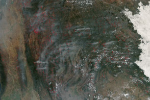
Hundreds of fires veiled northern Indochina in smoke as the traditional land-use burning season neared its peak.
Published Mar 19, 2014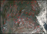
Fire is ubiquitous, both a tool and a destructive force. Like plants, fire grows and wanes in seasons.
Published Dec 31, 2008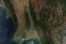
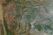
Fires dotted the landscape between Burma and Vietnam on February 10, 2010.
Published Feb 11, 2010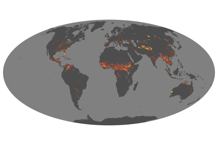
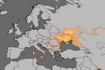
Scientists have answered some important questions about how fires vary around the world and are changing over time.
Published Aug 21, 2019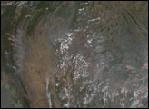
Skies across Southeast Asia were thick with smoke from hundreds of fires, probably agriculture related, on March 3, 2010.
Published Mar 3, 2010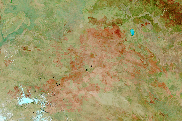
The satellite-based atlas includes information about more than 13 million fires.
Published Aug 8, 2019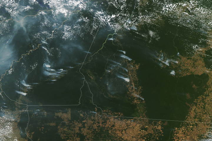
Following a notable increase in fire activity in August 2019 and a gradual rise in deforestation, scientists have been watching for signs of how 2020 might shape up. Several worrisome signs have emerged.
Published Aug 19, 2020Image of the Day Heat Land Fires Human Presence Remote Sensing
In Southeast Asia, widespread fire activity is common in March.
Published Mar 25, 2016