The northernmost arm of Antarctica is a hotspot of research because its retreating glaciers are a large contributor to sea level rise.
Published Feb 24, 2017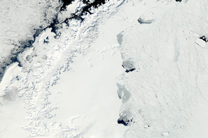
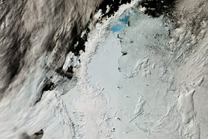
The MODIS instrument on NASA’s Aqua satellite captured this clear view of the Antarctic Peninsula, the Larsen Ice Shelf, and the sea ice covered waters around the region in October 2011.
Published Oct 15, 2011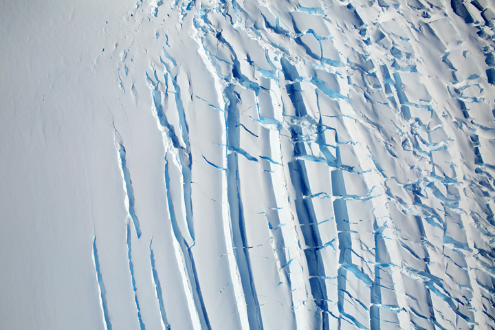
Ice moves slowly, and fractures are often the only perceptible indication of movement.
Published Jan 20, 2018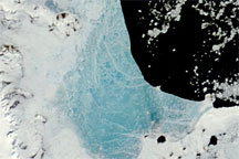
Changing weather conditions left their mark on sea ice along the Antarctic Peninsula in late 2008 and early 2009. In mid-December 2008, melt water resting on the sea ice colored it sky blue. At the beginning of 2009, however, the sea ice appeared snowy white, and cracks had begun along the ice margin.
Published Jan 9, 2009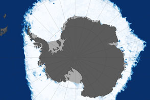
This map shows sea ice extent around Antarctica on September 22, 2013, when ice covered more of the Southern Ocean than at any other time in the satellite record.
Published Oct 1, 2013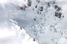
This image shows the latest estimate of the ice edge around Law Promontory, which juts out from East Antarctica’s coastline near Stefansson Bay.
Published Jul 23, 2010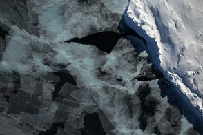
A spectacular view of sea ice was captured during an Operation IceBridge flight in 2014; the mission surveyed ice at both poles again in 2015, this time simultaneously.
Published Oct 4, 2015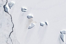
A guano stain betrays the location of an emperor penguin colony on Antarctic ice in this Landsat image from December 4, 2002.
Published Jun 5, 2009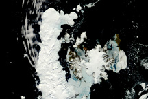
This rare, nearly cloud-free view of the northern tip of the Antarctic Peninsula provides a photo-like view of sea ice melting and pushing away from the continent in the late spring.
Published Nov 18, 2010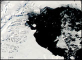

New elevation measurements will give researchers an unprecedented understanding of the thickness of sea ice, which will be used to help improve climate modeling and forecasts.
Published Dec 18, 2018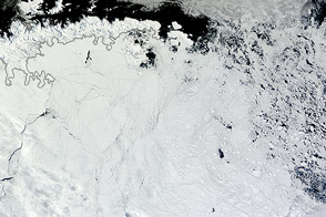
Winds pushed Antarctic sea ice north of its typical location in February 2013.
Published Mar 1, 2013