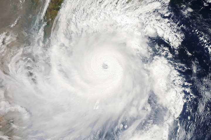
The storm became the third strongest on record for the Arabian Sea, but it was ripped apart by wind shear before reaching land.
Published Nov 2, 2014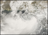
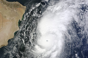
Chapala is predicted to make landfall in Oman or Yemen, with the potential to bring several years’ worth of rain in a matter of days.
Published Oct 31, 2015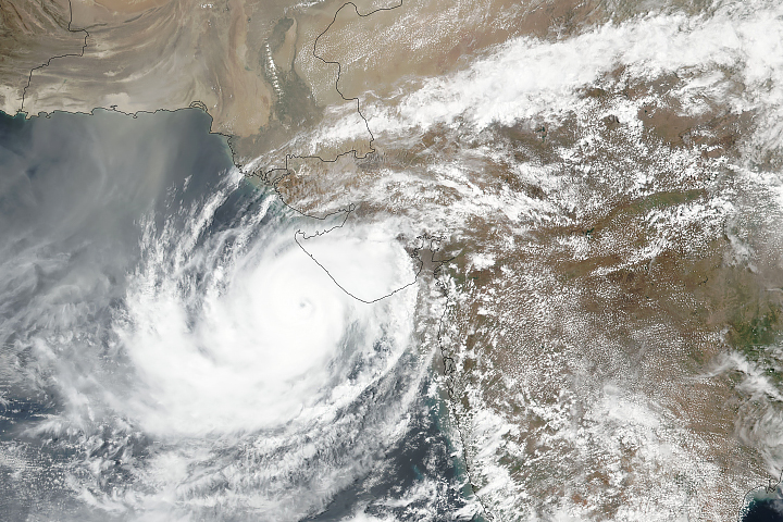
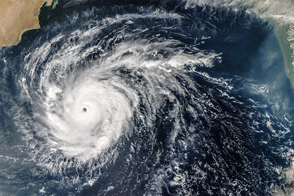
The powerful storm barreled toward the coast and then changed direction.
Published Jun 13, 2019
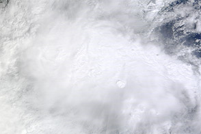
A ragged-looking Tropical Storm Bijli draped the east coast of India in this image from the Moderate Resolution Imaging Spectroradiometer (MODIS) on NASA’s Terra satellite on April 16, 2009
Published Apr 17, 2009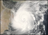
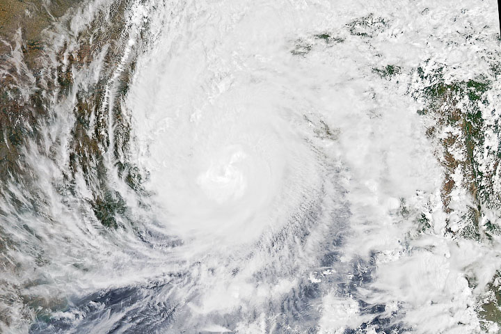
The storm strengthened and bore down on the country's eastern coast as a very severe tropical cyclone.
Published May 2, 2019Image of the Day Atmosphere Water Severe Storms Human Presence Remote Sensing
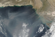
A cloud of dust extends hundreds of kilometers over the Arabian Sea in this true-color image from November 11, 2009.
Published Nov 12, 2009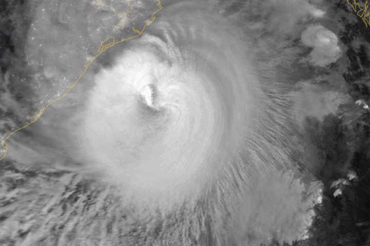
Millions of people prepared to evacuate as the storm approached eastern India and Bangladesh.
Published May 19, 2020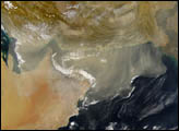
The first tropical cyclone of the 2020 season in the North Indian basin made landfall, delivering substantial storm surge to coastal areas.
Published May 20, 2020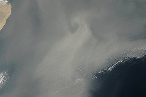
Dust traveled nearly 1,900 kilometers from Iran.
Published Jan 14, 2013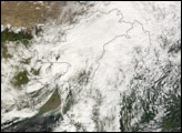
Acquired November 1, 2012, this natural-color image shows clouds from Tropical Storm Nilam spanning southwestern India.
Published Nov 1, 2012