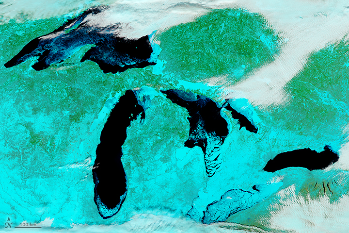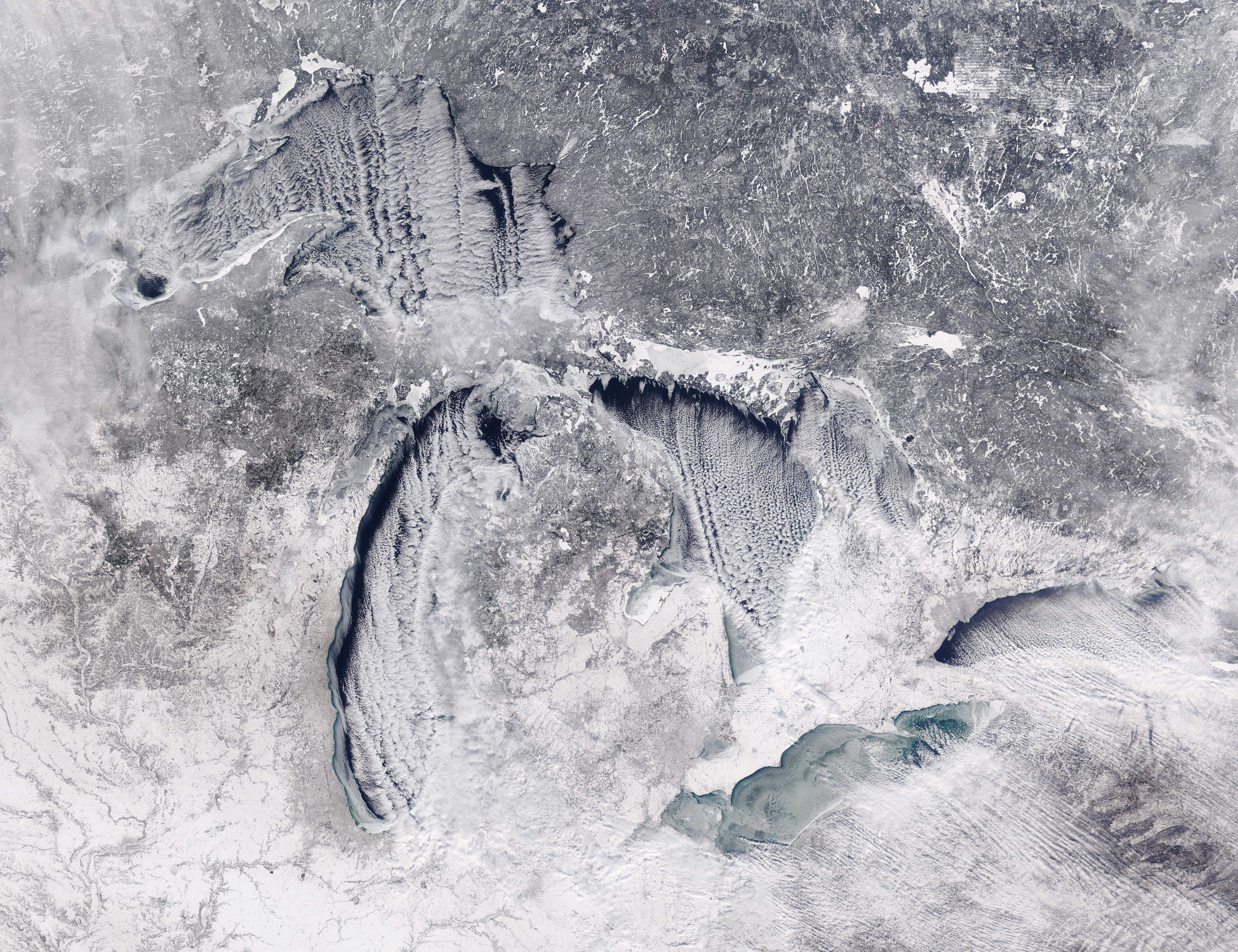
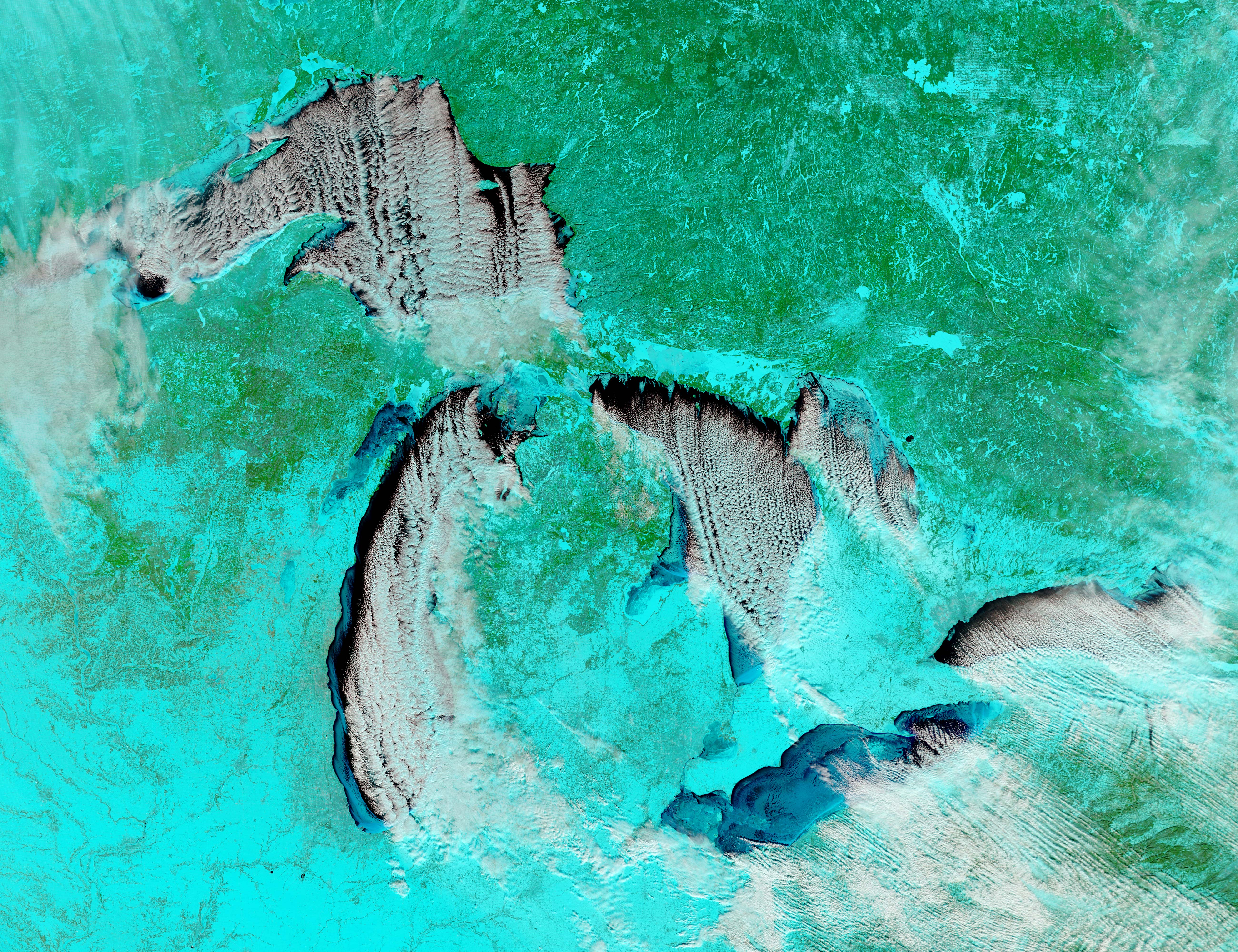
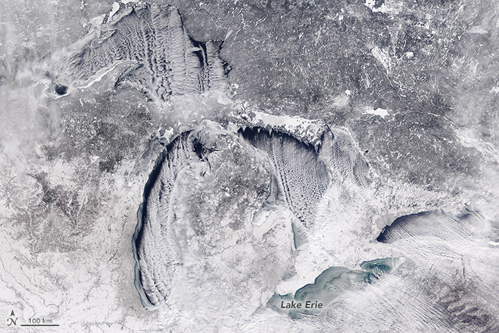
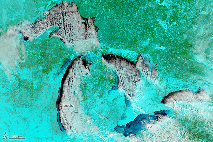
On January 6, 2018, the Moderate Resolution Imaging Spectroradiometer (MODIS) on NASA’s Terra satellite acquired these images of North America’s Great Lakes. The top image shows the winter landscape in natural color, similar to what your eyes would see. The second image shows the same area in false-color, made from a combination of infrared and visible light (MODIS bands 7-2-1), to better differentiate between snow and ice (blue) and clouds (white).
Notice that that clouds are mostly located over the lakes with open water. These lake-effect clouds form when cold air passes over the comparatively warmer lake water, imparting warmth and moisture into the air. Rising thermals ultimately produce long parallel bands of cumulus clouds called cloud streets.
In contrast, fewer clouds appear near Lake Erie. With a large fraction of the lake’s surface capped with ice, the cold northwest winds blowing over the lake are unable to pick up much moisture. Less moisture means less lake-effect snow will be dropped on the lake’s lee side (usually the eastern and southern shore).
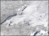
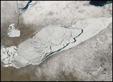
When these images were acquired, 84.2 percent of Lake Erie’s surface was covered with ice. The next day, ice coverage jumped to 87 percent followed by a small decline on January 8. You can see a graph of the ice cover here.
Lake Erie is slightly larger than Lake Ontario (the smallest of the five Great Lakes) in terms of surface area. But Erie is relatively shallow and contains less than one-third of the volume of water found in Lake Ontario, so it is generally the first to freeze in winter and the first to thaw in spring. This year, a cold snap that kept temperatures hovering around zero degrees contributed to the rapid growth of ice.
NASA image by Jeff Schmaltz, LANCE/EOSDIS Rapid Response. Caption by Kathryn Hansen.