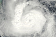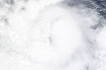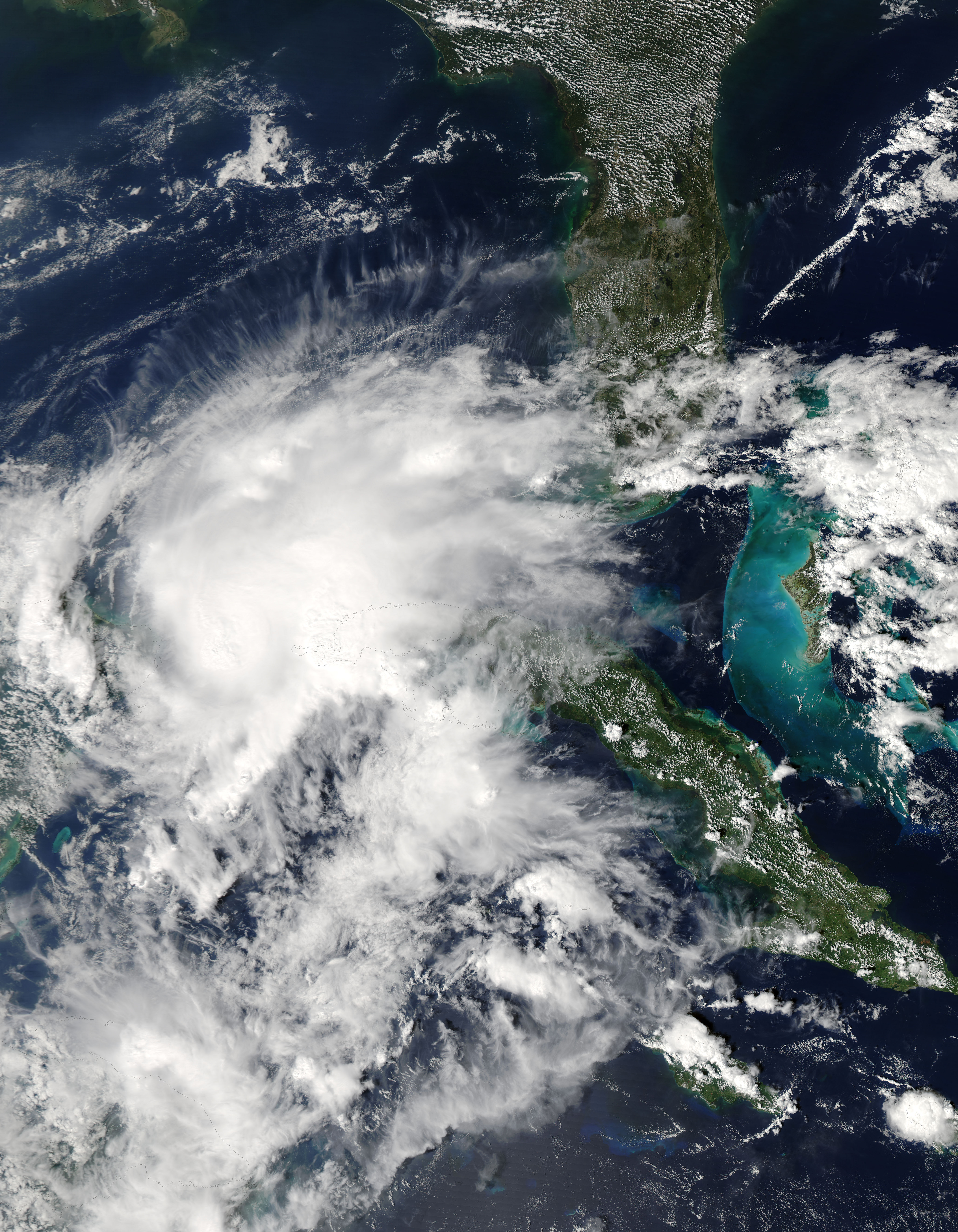
Hurricane Paula had been traveling in a northwesterly direction on October 13, 2010, when the storm briefly ground to a halt between Mexico and Cuba. At 1:00 p.m. Central Daylight Time (CDT), the U.S. National Hurricane Center (NHC) reported that Paula was stationary some 55 miles (90 kilometers) west-southwest of the western tip of Cuba. Still a Category 2 hurricane with winds of 100 miles (160 kilometers) per hour, Paula was expected to begin traveling toward the north-northeast.
The Moderate Resolution Imaging Spectroradiometer (MODIS) on NASA’s Aqua satellite captured this natural-color image of Hurricane Paula at 1:35 p.m. CDT (18:35 UTC) on October 13, 2010. Lacking the discernible eye it sported the day before, the storm nevertheless remains a solid cloud mass with the comma shape typical of cyclones. In the northeast, storm clouds reach southern Florida.
NASA image by Jeff Schmaltz, MODIS Rapid Response Team at NASA GSFC. Caption by Michon Scott.