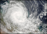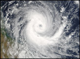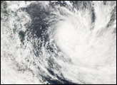
Tropical Cyclone Larry formed off the northeastern coast of Australia on March 18, 2006. The cyclone gained power rapidly and came ashore on Queensland’s eastern coastline, where it hammered beaches with heavy surf, tore roofs off buildings, and perhaps most destructively, flattened trees in banana plantations over a wide area. The Melbourne Age reported estimates that as much as 80 percent of the Australian banana crop has been destroyed. Since many trees have been uprooted, it may be many years before the banana industry recovers.
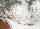
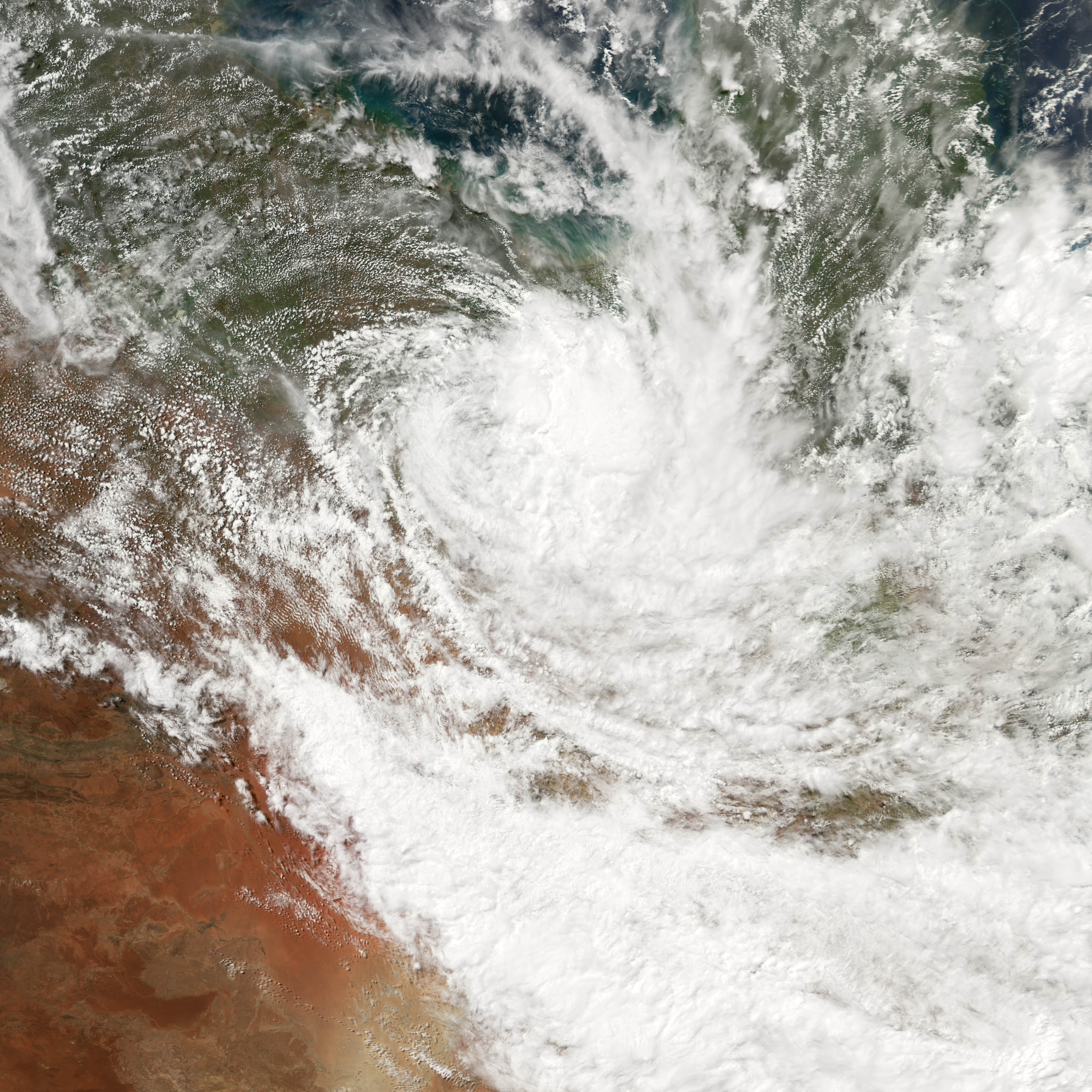
When the Moderate Resolution Imaging Spectroradiometer (MODIS) on the Aqua satellite observed the storm at 3:05 p.m. Australian Eastern Daylight Savings Time (04:05 UTC) on March 21, 2006, Larry had been downgraded to a tropical depression several hours before, and wind speeds had dropped to below 60 kilometers per hour (40 miles per hour). But while Larry’s winds had dropped down to much less destructive levels, the storm system was still bringing significant rainfall in the upper reaches of the Darling River basin, and it retained the classical spiral form of a tropical storm even as it continued to become less organized.
NASA image created by Jesse Allen, Earth Observatory, using data obtained courtesy of the MODIS Rapid Response team.