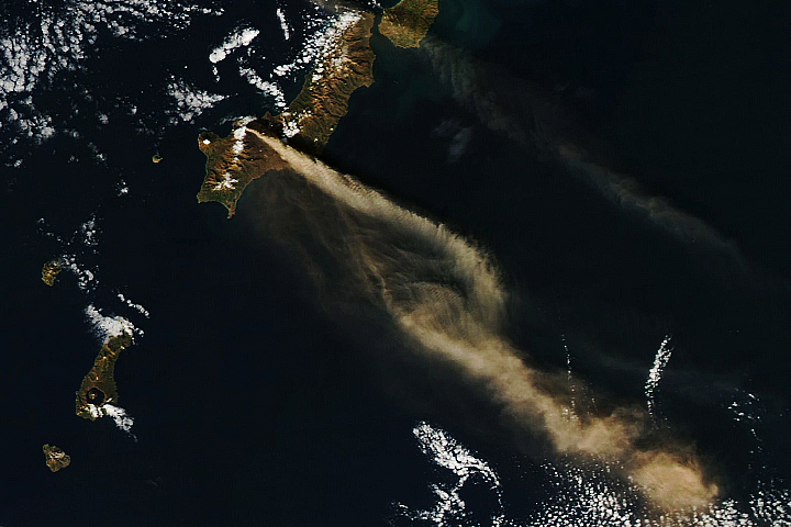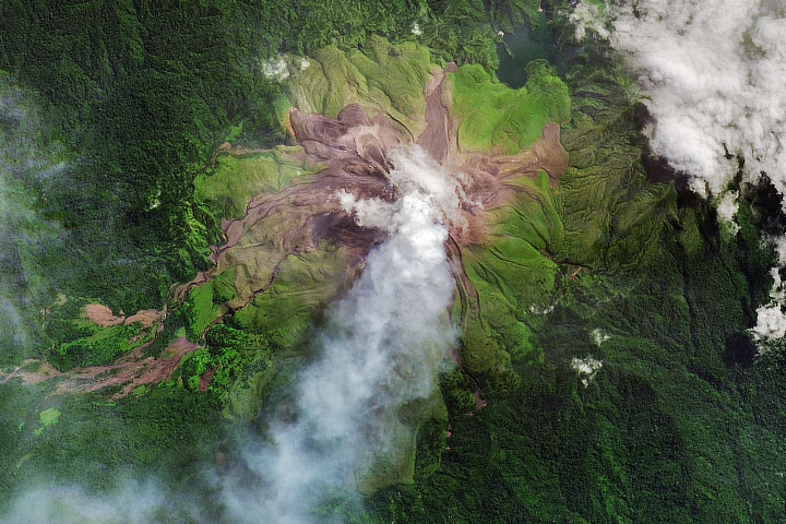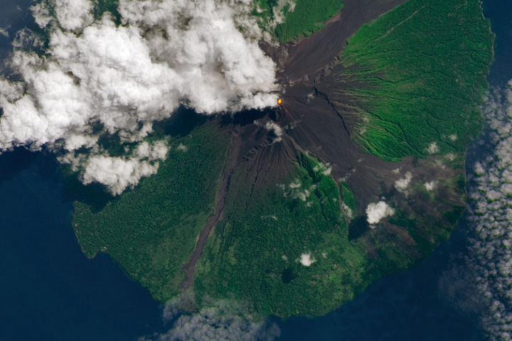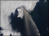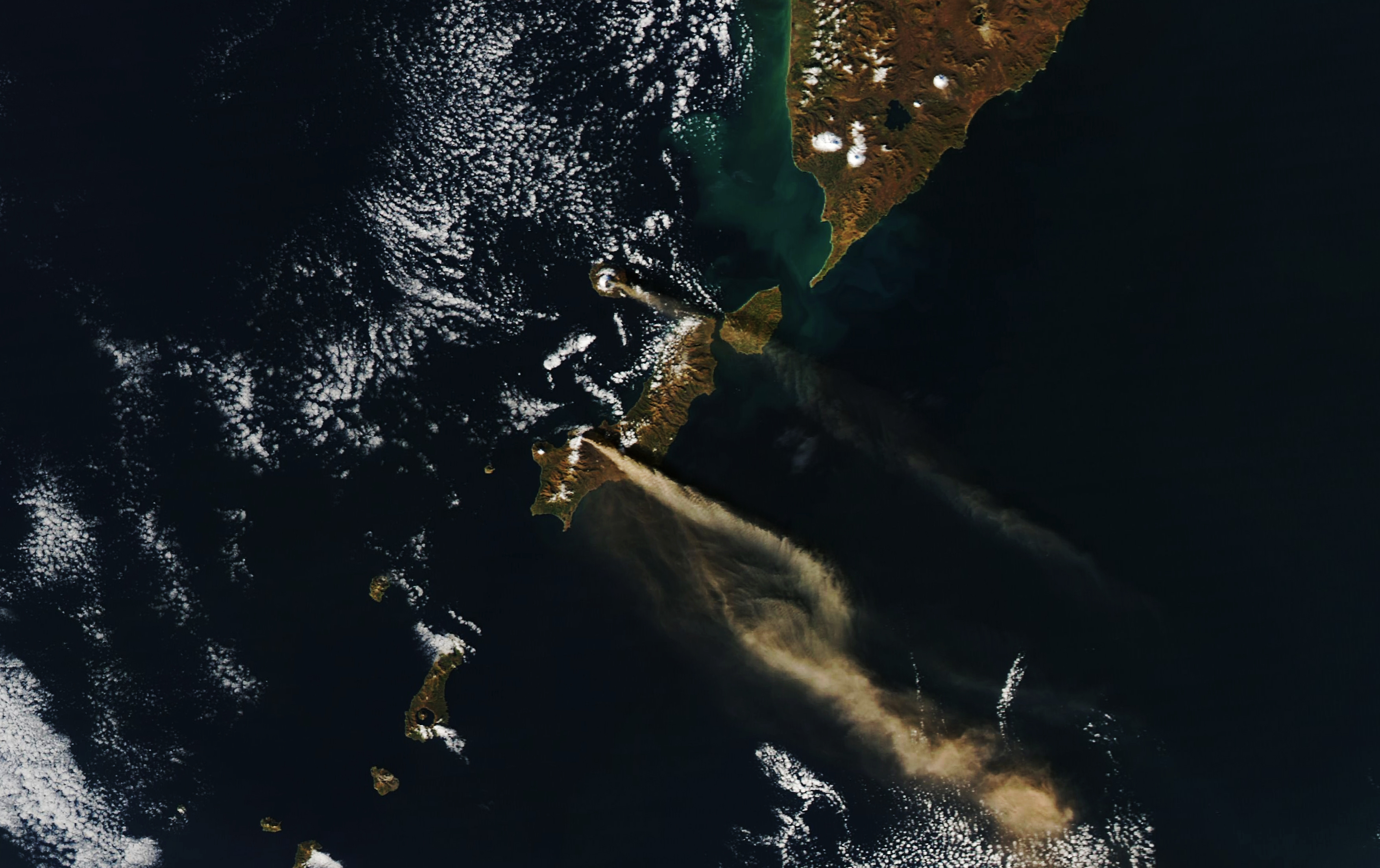
More than 50 islands comprise the Kuril Islands, an archipelago that extends from the Kamchatka Peninsula to Japan. The island chain contains dozens of active volcanoes capable of unleashing explosive eruptions. In October 2022, eruptions at two volcanoes—Chikurachki and Alaid—simultaneously sent plumes of ash streaming over the Pacific Ocean.
The two plumes are visible in the natural-color image above, acquired on October 16, 2022, with the Moderate Resolution Imaging Spectroradiometer (MODIS) on NASA’s Aqua satellite. Around the time this image was acquired, winds had carried the ash more than 500 kilometers (310 miles) toward the southeast. Images from Japan’s Himawari-8 satellite show the ash in motion.
The fainter of the two plumes came from Alaid, the island chain’s tallest and northernmost volcano. According to the Kamchatkan Volcanic Eruption Response Team, activity at the volcano had been ongoing from October 7–14, followed by explosive activity on October 16. The explosive event lofted ash up to 3.7 kilometers (12,100 feet) above sea level.
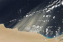
The more prominent plume came from Chikurachki—one of at least five active volcanoes on Paramushir Island. Explosive activity from this volcano also began on October 16, sending ash up to 4.5 kilometers (14,800 feet). The aviation color code was raised to orange, the second-highest level on the scale, alerting the aviation sector of the actively erupting volcano and its minor ash emissions. Ash emissions waned on October 17; by October 18, the volcano puffed only steam and gas.
Volcanoes in the Kurils and similar island arcs in the Pacific “Ring of Fire” are fed by magma generated along the boundary between two tectonic plates, where one plate is being driven beneath the other, a process known as subduction.
NASA Earth Observatory image by Lauren Dauphin, using MODIS data from NASA EOSDIS LANCE and GIBS/Worldview. Story by Kathryn Hansen.