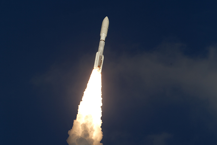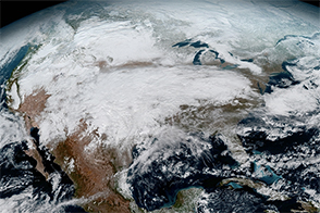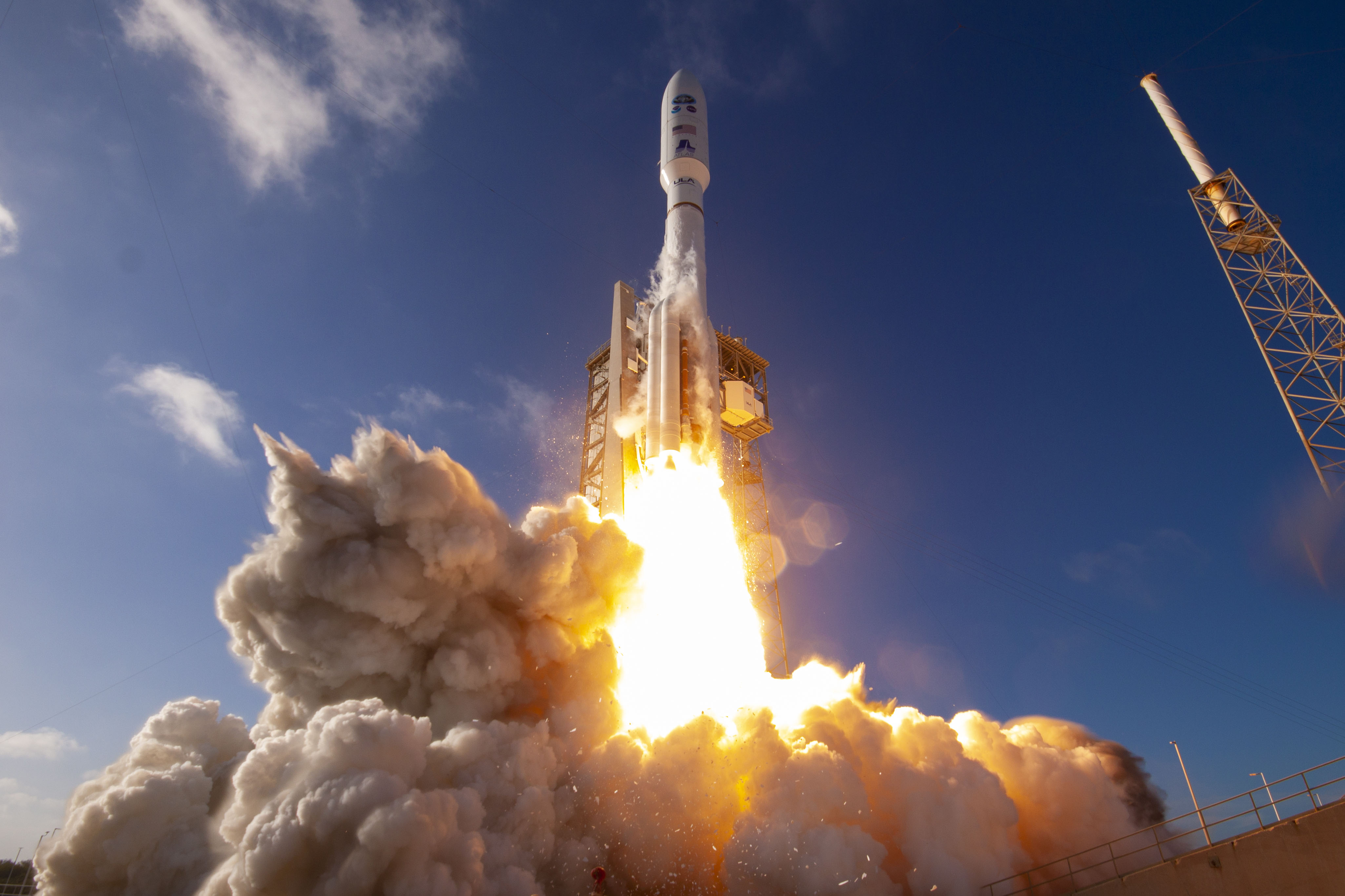
Two weeks after launch, the nation’s newest weather watcher has reached geostationary orbit. The GOES-T satellite was launched on March 1, 2022, from Cape Canaveral Space Force Station on an Atlas V rocket. On March 14, the satellite was officially renamed GOES-18; satellites in the GOES series are named with a letter prior to launch and with a number after settling into orbit.
This week, mission operators managed the final orbit-raising maneuver to bring the satellite to a geostationary altitude, about 36,000 kilometers (22,000 miles) above Earth’s surface. The satellite will orbit at the same rate that Earth rotates so it can keep constant watch over the same region.
GOES-18 follows in a long line of weather satellites built in partnership between the National Oceanic and Atmospheric Administration (NOAA) and NASA since 1975. NASA typically manages the design, construction, and launch of the satellites, and NOAA operates them once in orbit. The video below, which includes footage from the United Launch Alliance, provides highlights from the launch and the spacecraft's first hours in space.
GOES-18 will be temporarily positioned at 89.5 degrees west longitude—between the operational GOES-East and GOES-West satellites—while it goes through tests, calibration, and other setup activities. NOAA expects to see the first images from GOES-18 in May 2022, and then the satellite will drift west to 136.8 degrees West longitude to finish post-launch testing. NOAA plans for GOES-18 to take over as the operational GOES-West satellite in early 2023, replacing GOES-17, which will become the on-orbit backup.
The primary instrument on GOES-18 is the Advanced Baseline Imager (ABI), which provides the principal imagery and data used for weather forecasts in the United States. ABI scans Earth five times faster than previous generations of GOES satellites, with four times the resolution and three times the number of channels. GOES-18 also carries a Geostationary Lightning Mapper (GLM) and a suite of instruments for monitoring space weather hazards.
“This launch continues a 48-year history of NOAA, NASA, industry, and academia working together on geostationary satellite observations,” said John Gagosian, director of NASA’s Joint Agency Satellite Division. “GOES satellites help us every day. They bring advanced capabilities to help forecasters better monitor and predict dangerous environmental conditions like hurricanes, thunderstorms, floods, and fires.”
NASA’s Goddard Space Flight Center oversaw the acquisition of the spacecraft and instruments and built the magnetometer. NASA’s Launch Services Program at Kennedy Space Center provided launch management for the mission. NOAA oversees the GOES program, managing the ground system, operating the satellites, and distributing the data to users worldwide. Lockheed Martin designed, built, and tested the GOES-18 satellite. L3Harris Technologies provided the Advanced Baseline Imager and the ground system.
Photograph by United Launch Alliance. Caption by Mike Carlowicz based on NOAA and NASA news releases.