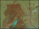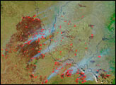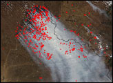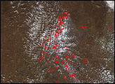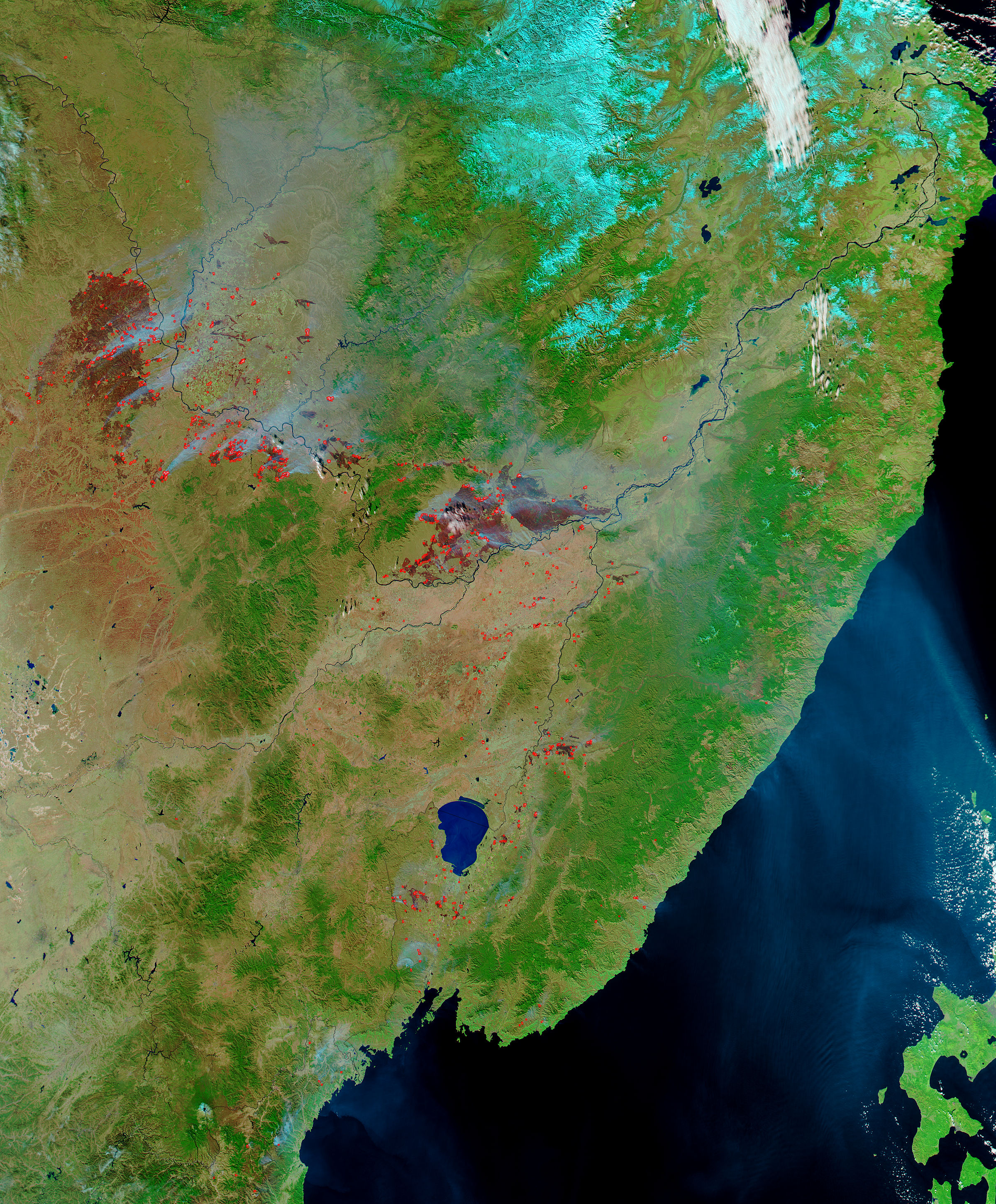
Deep red burn scars are spread across the autumn landscape of northeastern China and southeastern Russia in this image made from data collected by the Moderate Resolution Imaging Spectroradiometer (MODIS) on NASA’s Aqua satellite on October 17, 2004. The Amur River (called Heilong Jiang in Chinese) creates the boundary between the two nations, with China in the southwest portion of the scene, and Russia to the northeast.
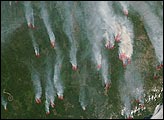
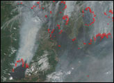
Numerous fires were burning at the time of the image, and have been marked with red dots. This image combines short-wave infrared energy detected by MODIS with visible light to make burned land stand out. Vegetation is in shades of green, burned area is deep reddish brown, smoke is light blue, snow on the mountains in the top right is bright blue, naturally bare soil is pinkish or light red, and water on the ground is dark blue. A MODIS image from October 20 showed that the fires had died down, but several new burned areas were apparent.
The high-resolution image provided above is 500 meters per pixel. The MODIS Rapid Response System provides this image in additional resolutions and MODIS band combinations.NASA image courtesy Jeff Schmaltz, MODIS Rapid Response Team, NASA-GSFC