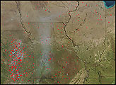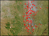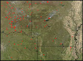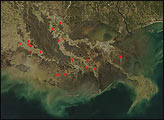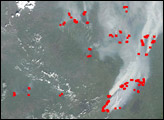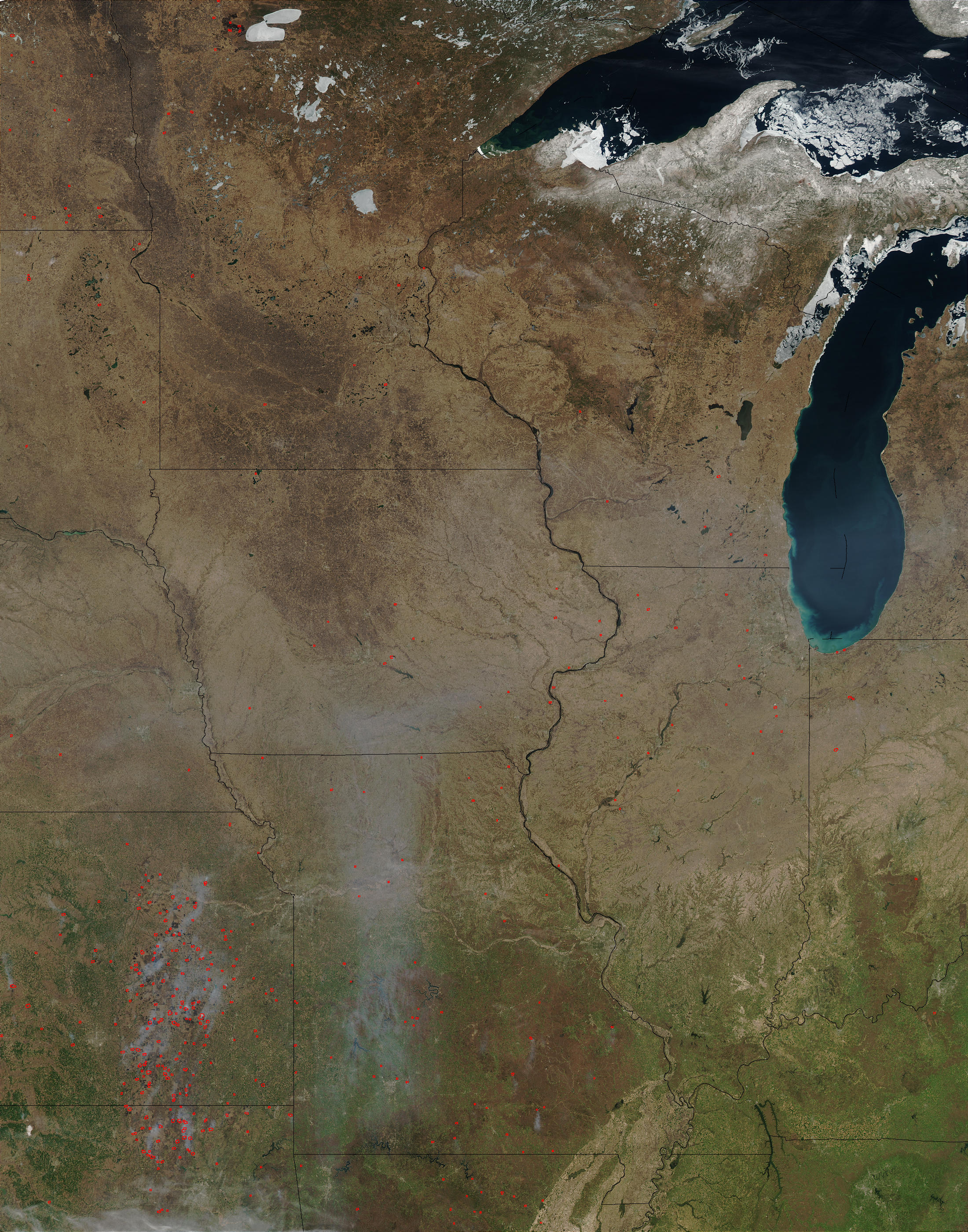
While ice still clings to the shores of Lakes Superior (top) and Michigan (bottom), spring’s green is creeping up from the south in this true-color Moderate Resolution Imaging Spectroradiometer (MODIS) from the Aqua satellite on April 11, 2003. Brush clearing and other fires probably related to agricultural activities were detected by MODIS and are marked with red dots. Fires are concentrated in Oklahoma (bottom left) and Kansas (to the north), but are scattered across other states as well.
The high-resolution image provided above is 500 meters per pixel. The MODIS Rapid Response System provides this image at MODIS’ maximum spatial resolution of 250 meters.
Image courtesy Jeff Schmaltz, MODIS Rapid Response Team, NASA GSFC