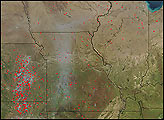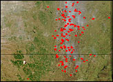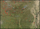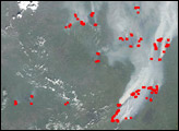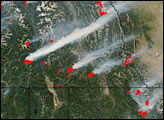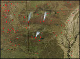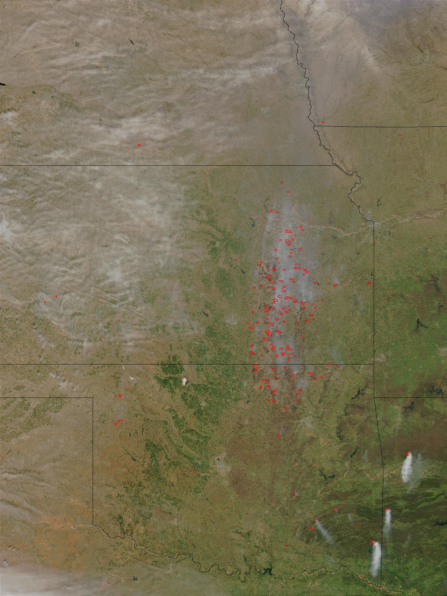
This Moderate Resolution Imaging Spectroradiometer (MODIS) image from the Aqua satellite on April 10, 2003, shows scores of fires (red dots) burning in the central United States. Fires are concentrated in Kansas (top) and Oklahoma (below), and are likely agricultural. To the southeast, a few fires are associated with large plumes of white smoke.
The high-resolution image provided above is 500 meters per pixel. The MODIS Rapid Response System provides this image at MODIS’ maximum spatial resolution of 250 meters.
Image courtesy Jeff Schmaltz, MODIS Rapid Response Team, NASA GSFC