October 2, 2002JPEG
animations
small (1.4 MB QuickTime)
medium (5.5 MB QuickTime)
large (47.8 MB QuickTime)
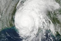
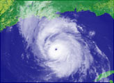
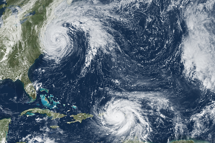
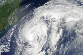
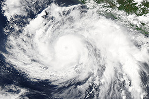
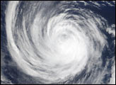
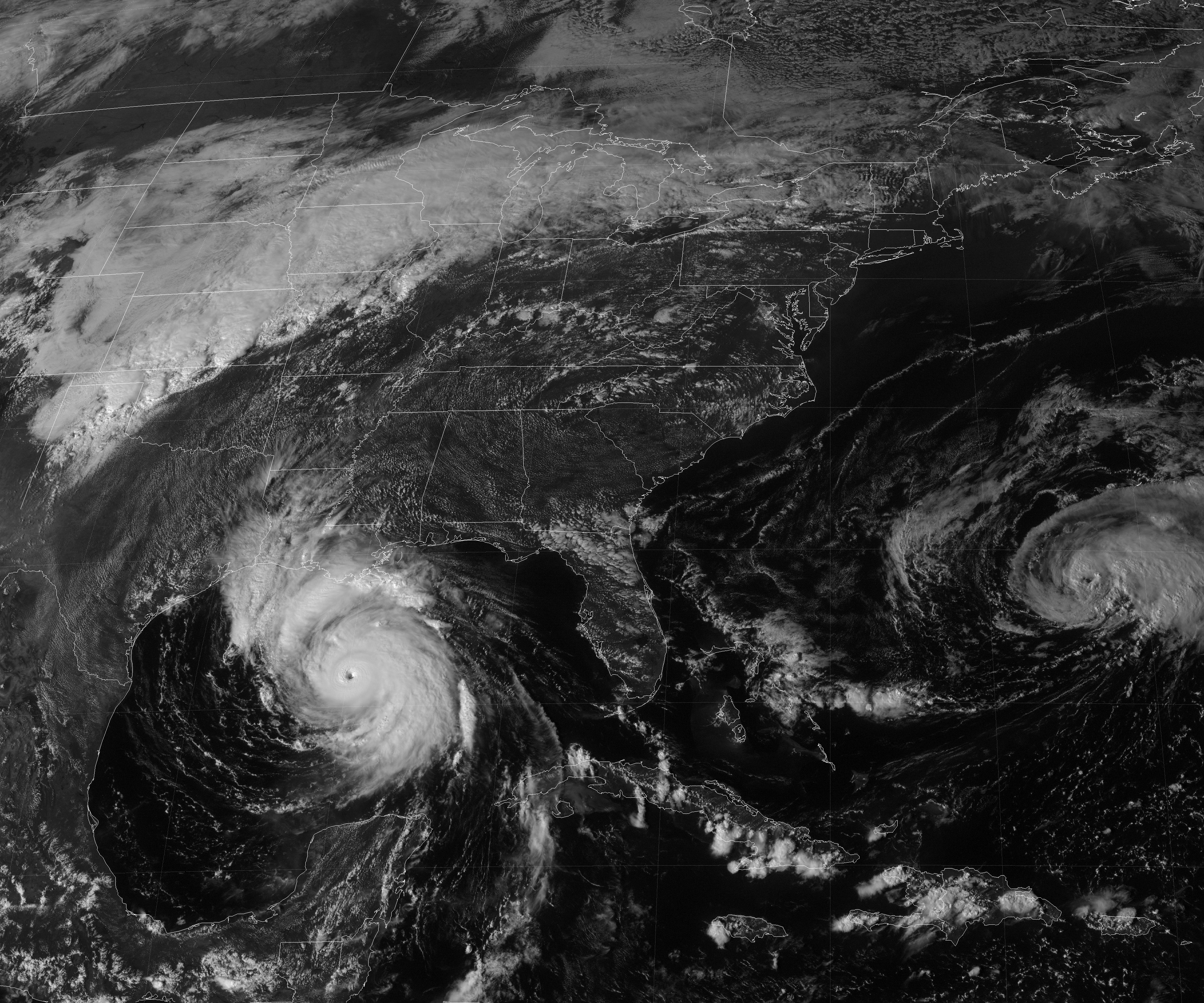
With sustained winds around 145 miles per hour, Hurricane Lili reached Category 4 status on the afternoon of October 2, 2002. This visible light image from NOAA’s GOES 8 satellite was acquired at 11:55 a.m. Central Daylight Time.
Animation by Robert Simmon, based on data provided by NOAA and archived by the NASA GOES Project Science Team
These new GOES 8 images of Hurricane Lili show the storm shortly after the eye made landfall in Louisiana.


Hurricane Maria brought potent winds and dire warnings to Caribbean islands just two weeks after Irma devastated the region.
Image of the Day Atmosphere Land Water Severe Storms Human Presence Remote Sensing
The third hurricane of the season stirred up the North Atlantic in late August 2014 but stayed offshore.
Hurricane Cristina churned off the western coast of Mexico when the Aqua satellite acquired this image on June 11, 2014.
