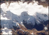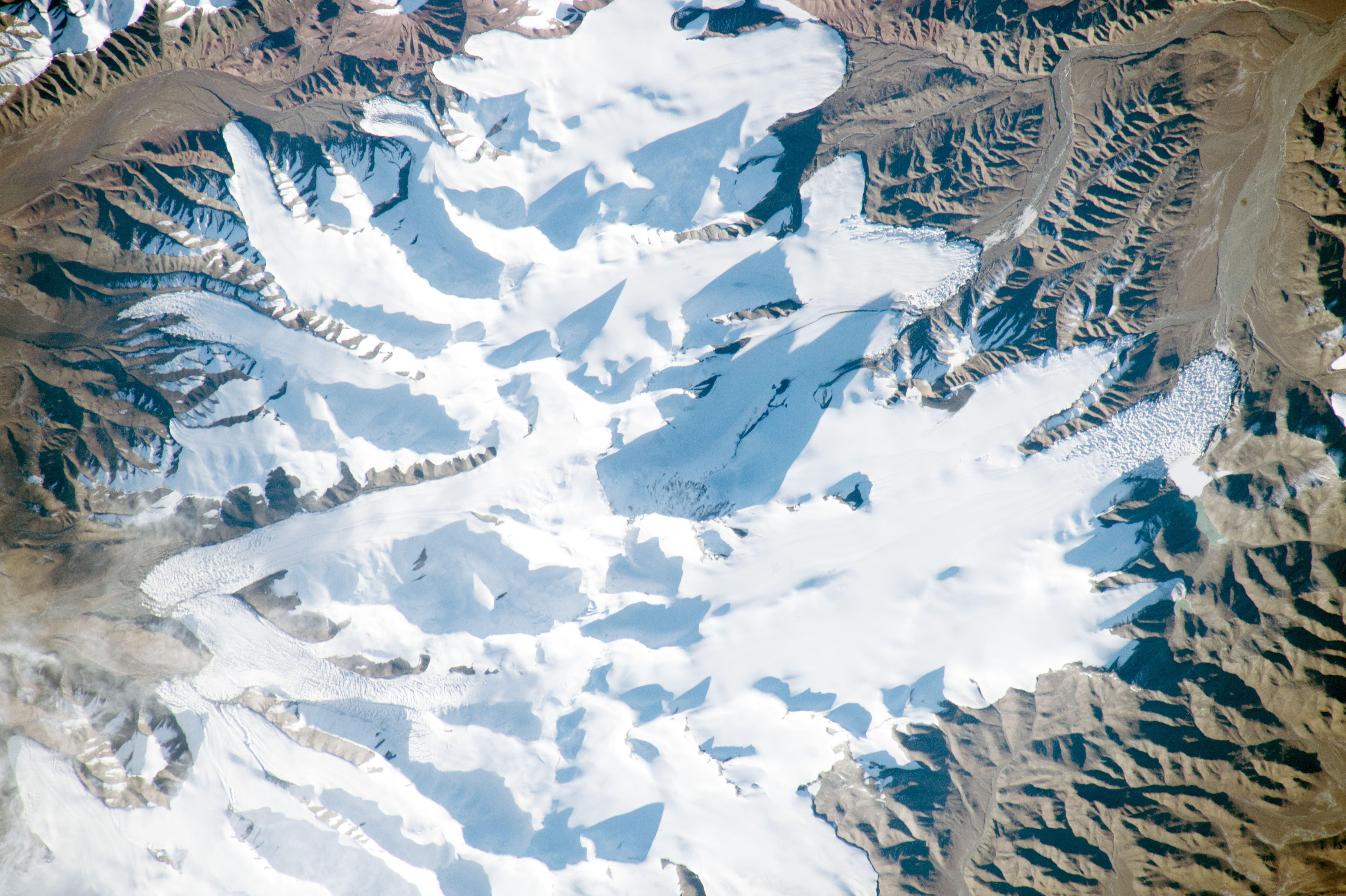
A long lens and low sun angle allowed an astronaut to take this striking photograph as the International Space Station flew over the remote desert landscape of northern Tibet. Sunlight reflects brilliantly off the ice of several glaciers in one of the highest sectors of the Kunlun Mountains. The major peaks of the mountains cast dark, pointed shadows in mid-afternoon. The surrounding landscape is a nearly barren, dun-colored desert.
Mountains tend to look flat from orbit, particularly when viewed from directly above. The mountain in the center of the image—Ulugh Muztagh—appears insignificant. But being the highest (6,973 meters or 22,877 feet) peak, it casts the longest shadow, which helps astronauts get a three-dimensional sense of the landscape. If this were an unmapped planet, the length of the shadows could be used to calculate the height of each mountain peak (assuming you knew a ground distance and the Sun angle).
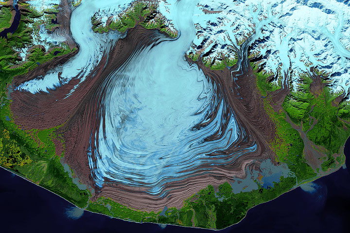
The low sun angle reveals rough textures at the snout (terminal) end of the glaciers, which otherwise appear remarkably smooth. Rough textures show where the ice is melting fast. Although the peaks receive very little precipitation (less than 5 inches or 13 centimeters per year), the cold desert preserves more snow than can melt on the highest, coldest parts of the mountains. The preserved ice slowly accumulates and begins to flow very slowly downhill, away from the high peaks. At the snout of the glaciers, melting at the warmer low altitude balances the flow of ice from the mountain peaks.
One other area of glacier roughness (lower left), however, is not located at the snout end of the glacier. This is a region of crevassing, where glacial ice is splitting to make deep clefts. It is likely because the ice is flowing faster over a steeper part of the valley.
Astronaut photograph ISS045-E-53329 was acquired on October 10, 2015, with a Nikon D4 digital camera using a 500 millimeter lens, and is provided by the ISS Crew Earth Observations Facility and the Earth Science and Remote Sensing Unit, Johnson Space Center. The image was taken by a member of the Expedition 45 crew. The image has been cropped and enhanced to improve contrast, and lens artifacts have been removed. The International Space Station Program supports the laboratory as part of the ISS National Lab to help astronauts take pictures of Earth that will be of the greatest value to scientists and the public, and to make those images freely available on the Internet. Additional images taken by astronauts and cosmonauts can be viewed at the NASA/JSC Gateway to Astronaut Photography of Earth. Caption by M. Justin Wilkinson, Texas State U., Jacobs Contract at NASA-JSC.