Exceptional, early monsoon rains in northern India and Nepal combined with melting snow to bring horrific flooding and landslides to the region in mid-June 2013. According to national and international relief agencies, more than 1,050 people died, thousands more went missing, and hundreds of thousands had their lives disrupted (mostly through the damage or loss of their homes). Indian government officials reported that 744 villages and hamlets had lost some or all of their connectivity—roads, water, or electric power—to the rest of the country.
Three weeks after the disaster, people were trying to pick up the pieces of their lives, and scientists and government officials were trying to piece together what happened. Instruments such as cameras on the International Space Station (ISS) and an imager on the Landsat 8 satellite are being used to assess the damage to the landscape.
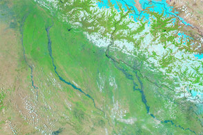
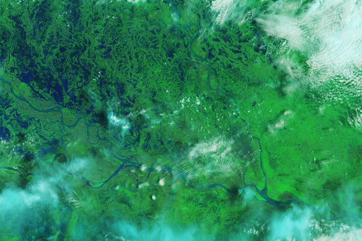
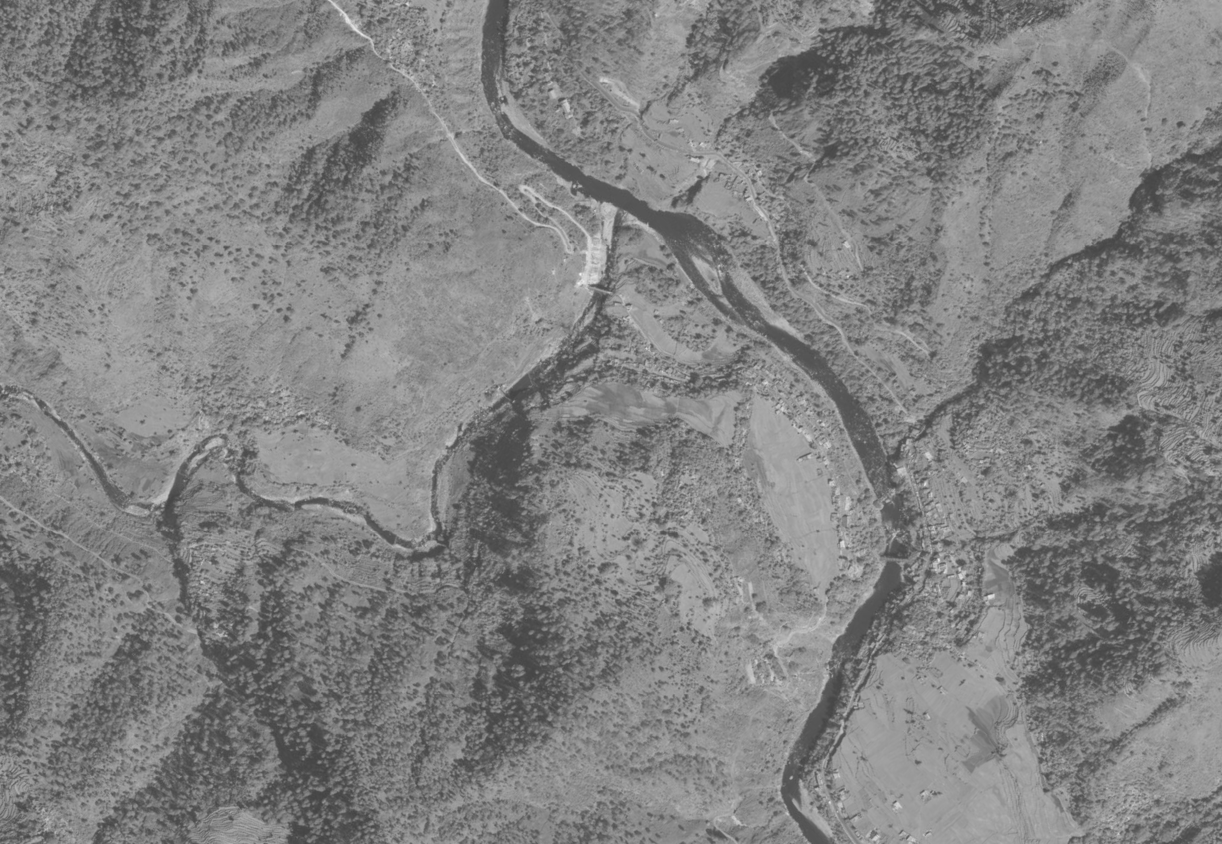
On June 26, 2013, the ISERV Pathfinder camera on the ISS captured the top image of India’s Mandakini River, near the village of Tilwara in Uttarakhand state. The river still appeared to be swollen, though deposits of chalky gray and tan sediments also made the banks difficult to discern from the river itself. (Note that the image is hazy due to the atmosphere and because the ISS did not pass directly over the site; the camera has a fixed, downward pointing lens, so images on the edge of the field of view are less crisp.) For comparison, the lower image from DigitalGlobe’s WorldView-2 satellite shows the same area as it appeared on March 2, 2009.
ISERV is an engineering “testbed” instrument developed to support a joint NASA/U.S. Agency for International Development effort known as SERVIR. The program provides satellite data and tools to environmental decision-makers in developing countries and operates via regional centers in Nairobi, Kenya; Kathmandu, Nepal; and Panama City, Panama.
The ISERV imagery has been made available to the International Charter, which was activated in the Indian state of Uttarakhand in response to the flooding disaster. The International Charter helps coordinate space agencies around that world to provide data, imagery, and other space technology solutions to help mitigate the effects of disasters.
NASA images by Burgess Howell, SERVIR Global program. Caption by Mike Carlowicz, NASA Earth Observatory, and Dauna Coulter, NASA Marshall Space Flight Center.