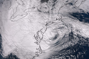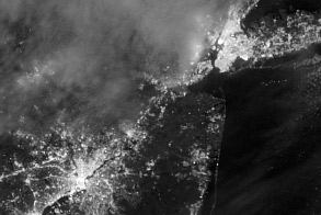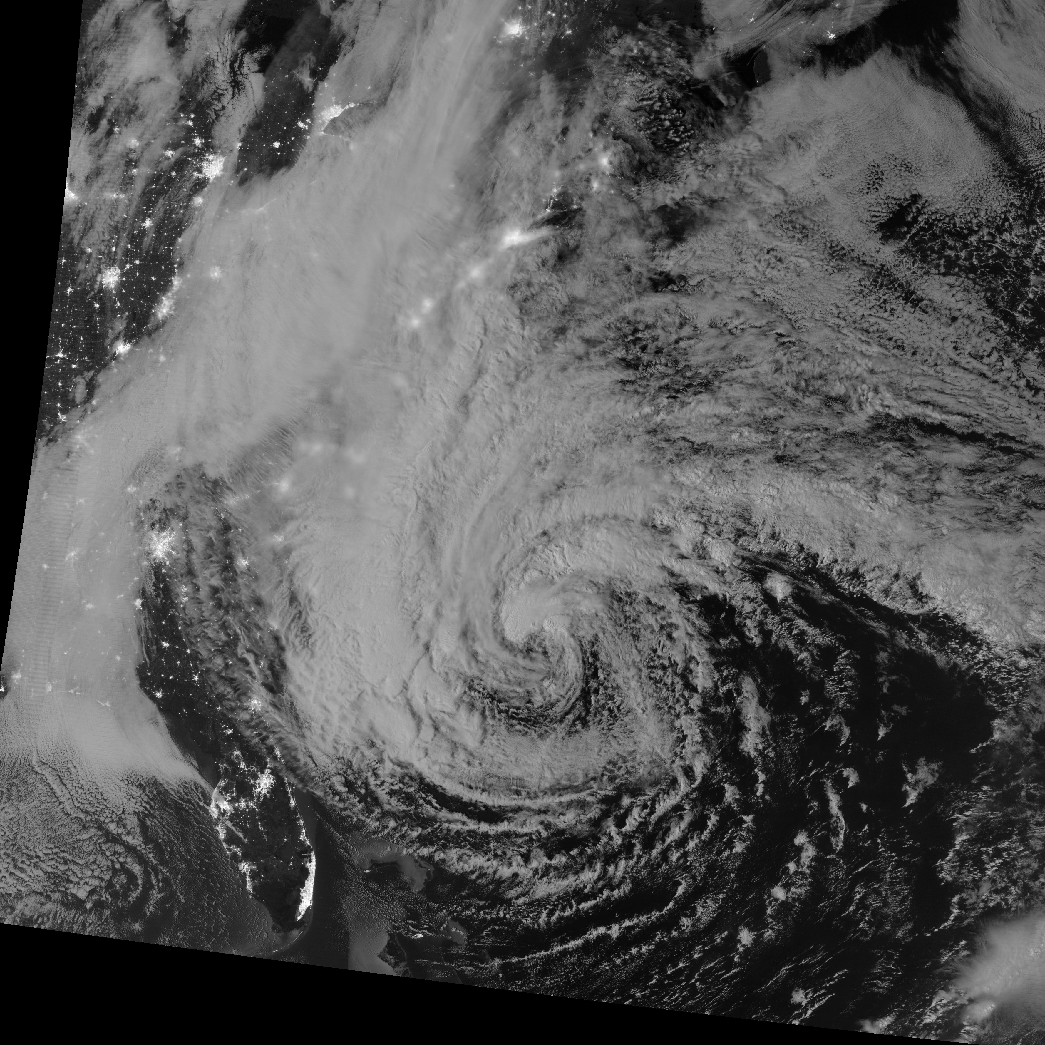
This image of Hurricane Sandy was acquired by the Visible Infrared Imaging Radiometer Suite (VIIRS) on the Suomi NPP satellite at 2:42 a.m. Eastern Daylight Time (06:42 Universal Time) on October 28, 2012. Suomi NPP was launched one year ago today on a mission to extend and enhance long-term records of key environmental data.
The storm was captured by a special “day-night band,” which detects light in a range of wavelengths from green to near-infrared and uses filtering techniques to observe dim signals such as auroras, airglow, gas flares, city lights, fires, and reflected moonlight. In this case, cloud tops were lit by the nearly full Moon (full occurs on October 29). Some city lights in Florida and Georgia are also visible through the clouds.
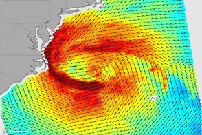
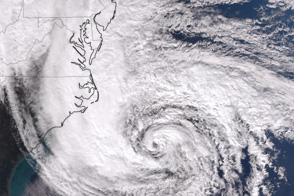
At the time of the image, the U.S. National Hurricane Center estimated Sandy’s location to be 31.5° North and 73.7° West, 275 miles (445 kilometers) south-southeast of Cape Hatteras, North Carolina, and moving northeast at 14 miles (22 kilometers) per hour. Maximum sustained winds were 75 miles (120 kilometers) per hour, and the minimum central barometric pressure was 960 millibars (28.35 inches).
Forecasters predicted that the storm would head north-northeast until the morning of October 29, and then take a turn to the northwest into the coastline of Delaware, New Jersey, or New York. The tropical cyclone is being blocked by an intense high-pressure system over the North Atlantic and is expected to merge with a winter weather system moving across North America. Sandy will likely become a post-tropical storm that could affect an area from the Carolinas to New England, and as far inland as the Great Lakes. The National Weather Service described the unusual merging (PDF) and what it might mean:
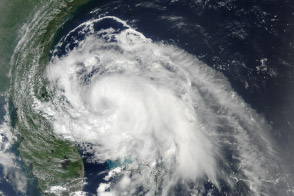
The primary difference between a tropical cyclone and a wintertime cyclone is the energy source. Tropical cyclones extract heat from the ocean and grow by releasing that heat in the atmosphere near the storm center. Wintertime cyclones (also called extratropical or frontal lows), get most of their energy from temperature contrasts in the atmosphere, and this energy usually gets distributed over larger areas. Because of these differences, tropical cyclones tend to have more compact wind fields, tend to be more symmetric, and have a well-defined inner core of strong winds. Wintertime lows have strong temperature contrasts or fronts attached to them, have a broader wind field, and more complex distributions of rain or snow.
For more views of the storm—including a time-lapse video of the storm from dawn to dusk on October 28—visit our Hurricane Sandy event page and the NASA Hurricane Resource Page. The National Hurricane Center, operated by NOAA, provides the official U.S. storm forecasts and regular updates on conditions on its home page.
NASA Earth Observatory image by Jesse Allen and Robert Simmon, using VIIRS Day-Night Band data from the Suomi National Polar-orbiting Partnership (Suomi NPP). Suomi NPP is the result of a partnership between NASA, the National Oceanic and Atmospheric Administration, and the Department of Defense. Caption by Michael Carlowicz.