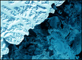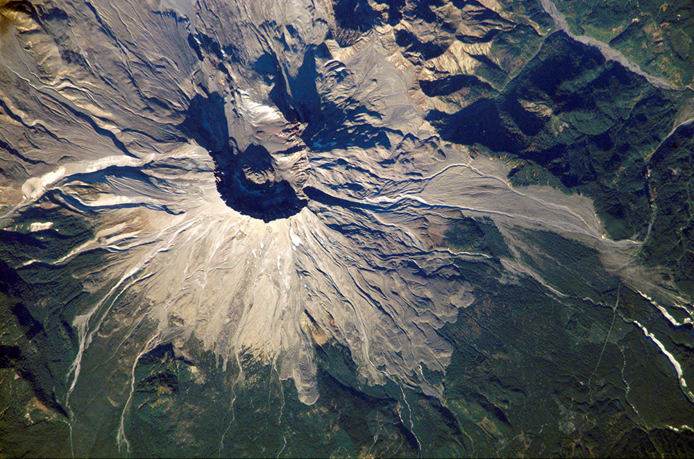
On May 18, 1980, Mount Saint Helens volcano erupted. A series of earthquakes preceded the eruption, triggering a collapse of the north side of the mountain into a massive landslide. This avalanche coincided with a huge explosion that destroyed over 700 square kilometers (270 square miles) of forest in a few seconds, and sent a billowing cloud of ash and smoke 24,000 meters (80,000 feet) into the atmosphere. Because the eruption occurred in an easily accessible region of the U.S., Mount St. Helens has provided unprecedented opportunities for U.S. researchers to collect scientific observations of the geology of an active volcano and document the regional ecological impact and recovery from an eruption.
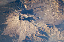
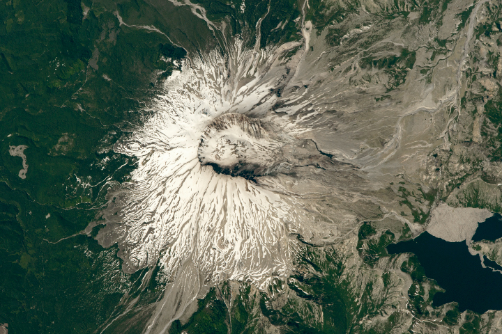
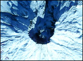
This week marks 24 years since the eruption. On an earlier Space Station expedition, astronauts observed and captured this detailed image of the volcano’s summit caldera. In the center of the crater sits a lava dome that is 876 feet above the crater floor and is about 3,500 feet in diameter. The dome began to form after the 1980 eruption, but there have been no dome building eruptions for more than a decade. Afternoon lighting accents the flow features in the volcanic and debris flows and the steep valleys eroded into the loosely consolidated material near the summit.
The upper slopes of the 1980 blast zone begin at the gray colored region that extends north (upper left) from the summit of the volcano. The volcanic mud and debris from the eruption choked all of the drainages in the region. The deeply incised valley to the left (west) is the uppermost reach of the South Fork of the Toutle River. Devastating mudslides buried the original Toutle River Valley to an average depth of 150 feet, but in places up to 600 feet. Even today, heavy precipitation can send unconsolidated volcanic debris downstream. A special dam was constructed on the North Fork of the Toutle River to catch the sediments from moving further downstream. Levees and dredging also help stem further mudslides. The dark green area south of the blast zone is the thickly forested region of the Gifford Pinchot National Forest.
Astronaut photograph ISS005-E-18511 was taken October 25, 2002, with a Kodak DCS760 digital camera equipped with an 800-mm lens, and is provided by the Earth Observations Laboratory, Johnson Space Center. The International Space Station Program supports the laboratory to help astronauts take pictures of Earth that will be of the greatest value to scientists and the public, and to make those images freely available on the Internet. Additional images taken by astronauts and cosmonauts can be viewed at the NASA/JSC Gateway to Astronaut Photography of Earth.