|
Future Research
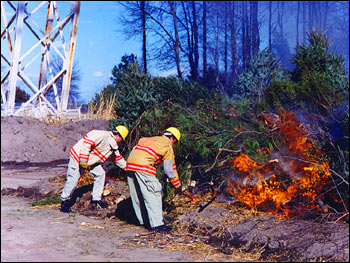
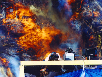
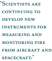
Scientists are continuing to develop new instruments for measuring and monitoring fire from aircraft and spacecraft. This research will help assess the impact of fire-produced gases and particulates on atmospheric composition and chemistry and on climate. In August 2000 and January 2001, researchers set controlled fires at the Impact Dynamics Research Facility at LaRC to test new fire monitoring and measurement instrumentation that will eventually help researchers study global fires (Fig. 4 and Fig. 5). Tests like these will support the Interagency Agreement signed in November 2000 between LaRC and the United States Department of Agriculture Forest Service.
In this partnership, LaRC will develop instruments for the remote sensing of fires to be flown on aircraft by the Forest Service. Instruments will monitor active fires, measure fire temperature and the area burned, and provide an exact geographical location of a fire. Information from these instruments will also help fire fighters more efficiently and economically plan how to control and fight fires. The fire monitoring instrumentation will provide information about the fire to the ground in real time, giving fire fighters an unique and comprehensive perspective to help meet the growing demands of fire control in the United States. next: Introduction
|
Biomass Burning
|